
The Virginian RV Park
Hiking business nearby (~46 mi away) — hasn't claimed their Roamze page yet
Free — you'll pick up right here.
Watch this trail
Sign up to watch it — saving subscribes you to gate, closure and report changes.
Wyoming
1.6 mi
Distance
28 ft
Gain
32 min
Time
We won't guess. Here is exactly what we do and don't know.
What we do know
Inside Caribou-Targhee National Forest
3 managing-area boundaries mapped — agency alerts for them feed this page automatically.
Boundary data
What's missing
No access route mapped
We don't yet know which road reaches this trailhead, so we can't tell you if it's gated.
Nobody's filed a report here yet — be the first.
Why you'll love it
Fish Lake
AI-suggested draft · review before you go
No permit or access details on file for this trail — check with the local land manager before you go.
Fish Lake is a 1.5-mile out-and-back trail located in Wyoming. This straightforward route takes hikers to a scenic lake destination and back along the same path. The trail is ideal for those seeking a relatively short outing with a clear turnaround point. The out-and-back format makes this trail easy to navigate, with hikers simply retracing their steps to return to the trailhead. This structure is popular for families and those looking for a manageable day hike without complex navigation. Fish Lake offers access to the lake itself, making it suitable for visitors interested in water-based activities or enjoying scenic views from the shoreline. The modest distance makes it accessible to a wide range of fitness levels. While elevation gain information is not currently available, the 1.5-mile distance suggests this is a relatively quick hike. For current conditions, detailed trailhead directions, and seasonal access information, contact local Wyoming outdoor resources or the managing agency for the area.
Cave Falls Trailhead (9K2)
~6 min drive
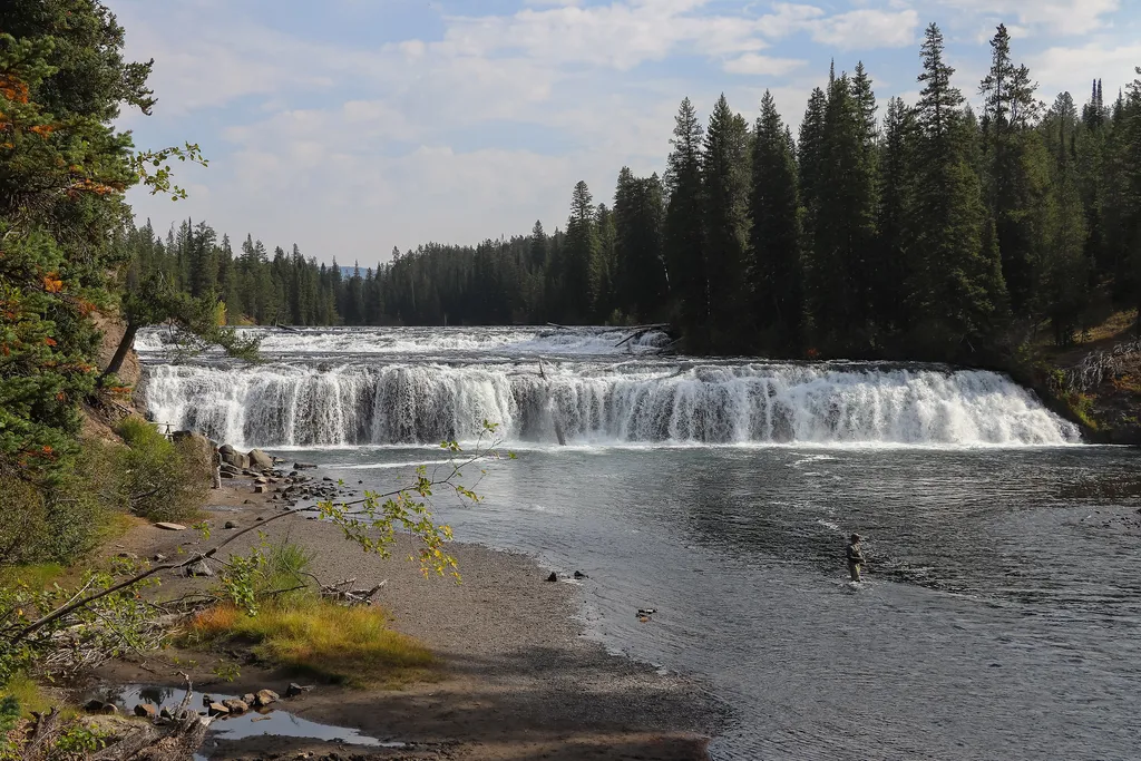
<p>This trailhead is located along the Cave Falls Road, just north of the southern park boundary. This trailhead provides access to the following trails:</p> <ul> <li>Bechler River Trail</li> <li>South Boundary Trail: Bechler Ranger Station–Grassy Lake</li> </ul> <p><b>Bechler…

Sheffield
~24 min drive
14 mi · Hard
Coyote Trail
~16 min drive
2.5 mi · Easy
Carrot Ridge
~19 min drive
5.5 mi · Moderate
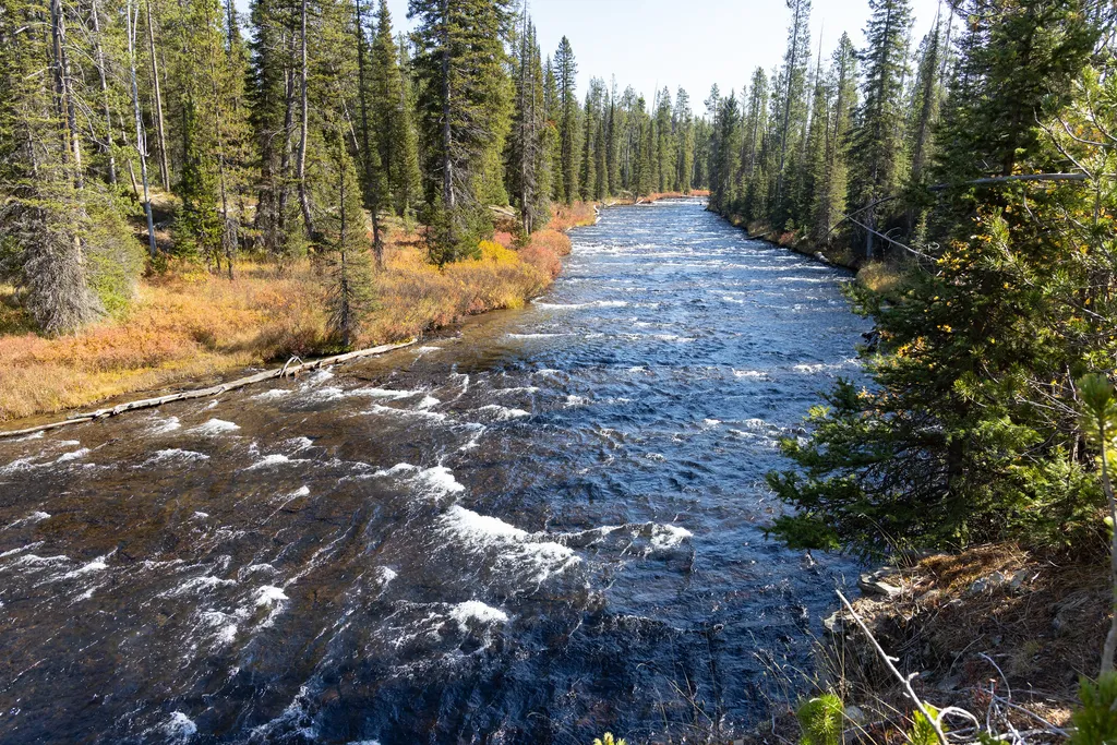
Grassy Lake Trailhead (9K6)
~11 min drive
<p>This is a more remote trailhead along the southern boundary of the park, which can be accessed by road. From this trailhead you can embark on the following trails within the park:</p> <ul> <li>Mountain Ash Creek Trail</li> </ul>
South Boone
~7 min drive
14 mi · Hard
Red Mountain
~18 min drive
2.7 mi · Easy
Mountain Nord
~20 min drive
5.6 mi · Moderate
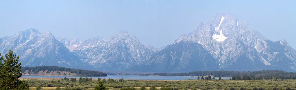
The 1988 Fires
~23 min drive
<p>Stop 5 (Huck Fire Turnout): You've probably heard of the 1988 fires in Yellowstone. Listen to hear about their legacy for fire management in the West and what scientists have learned from them.</p>
Hominy Peak
~10 min drive
10 mi · Hard
Local operatorsoffering guided trips. You book directly with them — Roamze doesn’t take a cut.
The Virginian RV Park
Hiking business nearby (~46 mi away) — hasn't claimed their Roamze page yet