Loading trail…

Free — you'll pick up right here.
Watch this trail
Sign up to watch it — saving subscribes you to gate, closure and report changes.
Wyoming
7.3 mi
Distance
202 ft
Gain
2h 31m
Time
No agency boundary, access route or field report is mapped to it — so there is no verdict, and we won't guess. We'll tell you the moment this trail has something to say.
Covered nearby
Trails within 25 miles where we do have a current picture.
Nobody's filed a report here yet — be the first.
Why you'll love it
CDT hje Riverview Road Alternate
AI-suggested draft · review before you go
No permit or access details on file for this trail — check with the local land manager before you go.
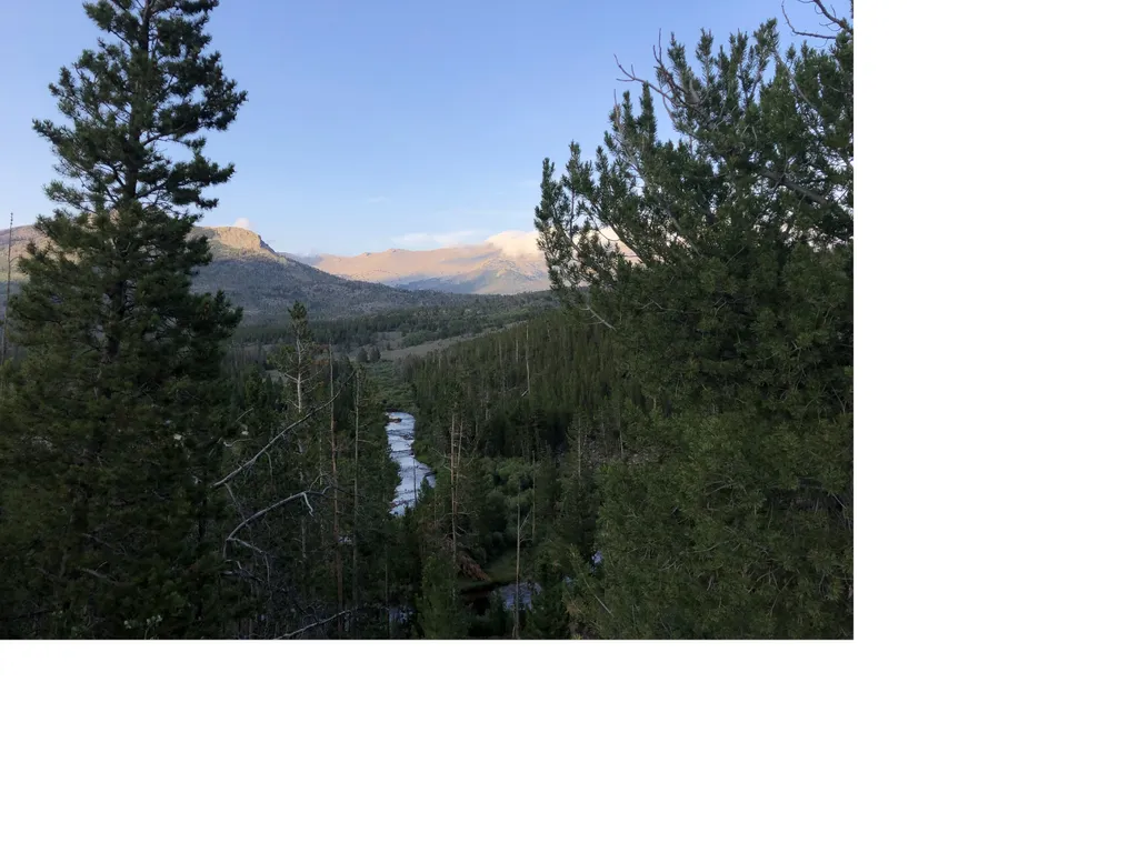
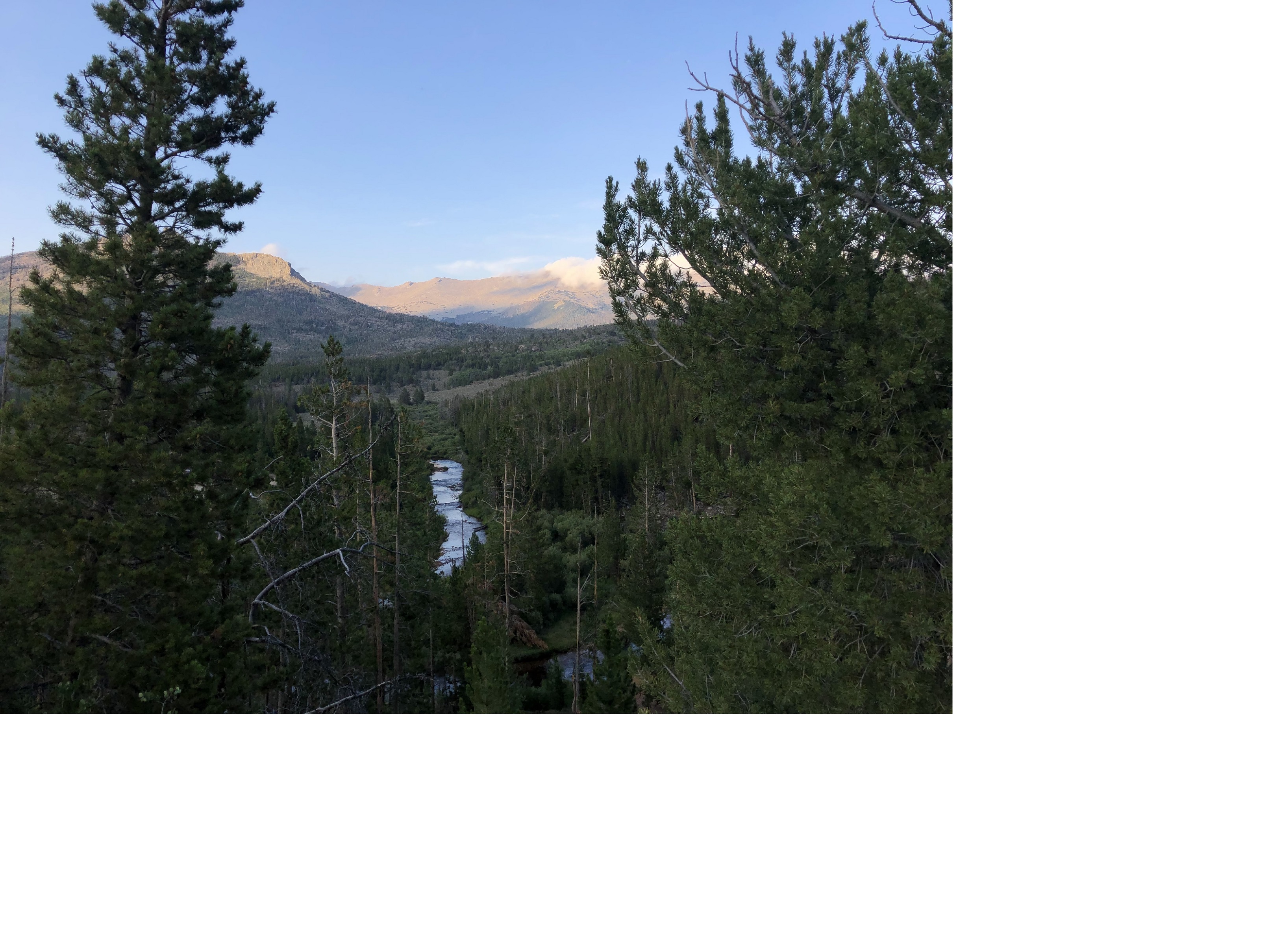
The CDT hje Riverview Road Alternate is a 7.3-mile lollipop trail located in Wyoming. This route offers hikers a loop configuration that returns to the starting point, making it convenient for day trips or shorter backpacking ventures. The trail follows the Continental Divide Trail system in the Wyoming region, providing access to scenic landscapes characteristic of the high plains and mountain terrain. The lollipop design means you'll hike out on one path before looping back on a different route, creating variety in your experience without requiring a shuttle or car placement at a different trailhead. This trail segment is ideal for those looking to experience a portion of the CDT without committing to the full long-distance journey. The exact elevation gain for this section has not been documented, so hikers should come prepared for terrain typical of Wyoming's Continental Divide region. Weather conditions can change rapidly at elevation, so proper gear is essential. This trail works well for experienced hikers seeking a moderate day hike or those training for longer CDT sections.

Silas Lake
~22 min drive
4.2 mi · Easy

Lizard Head
~52 min drive
11 mi · Hard
Wild Iris
~11 min drive
3.6 mi · Moderate

Farlow
~42 min drive
1.3 mi · Easy
CDT hjf Sweetwater River Route
~14 min drive
35 mi · Hard
Sioux Pass
~17 min drive
3.8 mi · Moderate

Black Joe
~51 min drive
3.4 mi · Easy
Christina Pass
~30 min drive
6.3 mi · Hard
Christina Lake
~21 min drive
8.2 mi · Moderate
Sioux Pass Trail
~16 min drive
1.5 mi · Easy