Loading trail…

Free — you'll pick up right here.
Watch this trail
Sign up to watch it — saving subscribes you to gate, closure and report changes.
Wyoming
4.6 mi
Distance
2,090 ft
Gain
2h 35m
Time
We won't guess. Here is exactly what we do and don't know.
What we do know
Inside Yellowstone National Park
National Park unit boundary is mapped — agency alerts for it feed this page automatically.
Boundary data
What's missing
No access route mapped
We don't yet know which road reaches this trailhead, so we can't tell you if it's gated.
Nobody's filed a report here yet — be the first.
Why you'll love it
Avalance Peak Trail
AI-suggested draft · review before you go
No permit or access details on file for this trail — check with the local land manager before you go.
Across the road from the parking area and to the right of the creek, the trail enters the forest and begins its steep ascent—2,100 feet in 2.1 miles (3.3 km). In just over a mile, it arrives at the base of the large bowl of Avalanche Peak, then continues
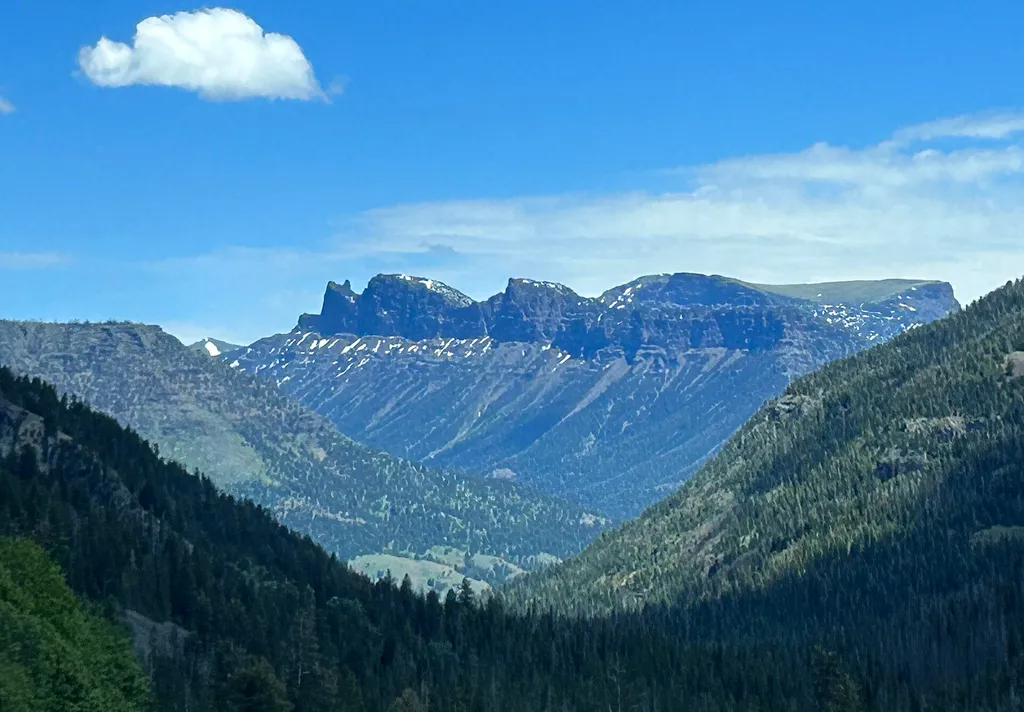
Three Mile Bend Vault Toilet
~6 min drive
A worthwhile stop near Wyoming.

Crow Cr Trail
~16 min drive
19 mi · Hard

Grinnell Trailhead Trail
~17 min drive
4.1 mi · Moderate

Storm Point Trail
~19 min drive
4.1 mi · Easy
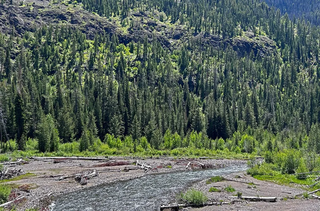
East Entrance Vault Toilet
~12 min drive
A worthwhile stop near Wyoming.

Kitty Cr Trail
~24 min drive
16 mi · Hard

West Grinnell Cr Trail
~19 min drive
10 mi · Moderate

Pelican Creek Nature Trail
~21 min drive
1.3 mi · Easy
East Entrance Station
~12 min drive
<p>Yellowstone and Grand Teton national parks charge separate entrance fees. People visiting both parks can save money by purchasing an Interagency Annual Pass. Learn more about <a href="https://www.nps.gov/yell/planyourvisit/fees.htm">fees and passes</a> online.</p> <h2>Roads…
Mountain Creek Trail
~26 min drive
13 mi · Hard