Loading trail…

Free — you'll pick up right here.
Watch this trail
Sign up to watch it — saving subscribes you to gate, closure and report changes.
Wisconsin
We won't guess. Here is exactly what we do and don't know.
What we do know
Inside White Mountain National Forest
2 managing-area boundaries mapped — agency alerts for them feed this page automatically.
Boundary data
What's missing
No access route mapped
We don't yet know which road reaches this trailhead, so we can't tell you if it's gated.
Nobody's filed a report here yet — be the first.
Guyot Shelter
AI-suggested draft · review before you go
This shelter and accompanying tent sites is located on a spur path at 4,360 ft. off the Bondcliff Trail between Mt. Guyot (pronounced Gee - O) and Mt. Bond at the edge of the Pemigewasset Wilderness. It is 0.6 miles from the Twinway Trail (Appalachain Trail). The open log shelter accommodates approximately 12 people with six additional tent platforms. There is a spring for water that may be unreliable in the summer months. A caretaker is in charge during the summer months. This site is often crowded for much of the summer months, particularly weekends.
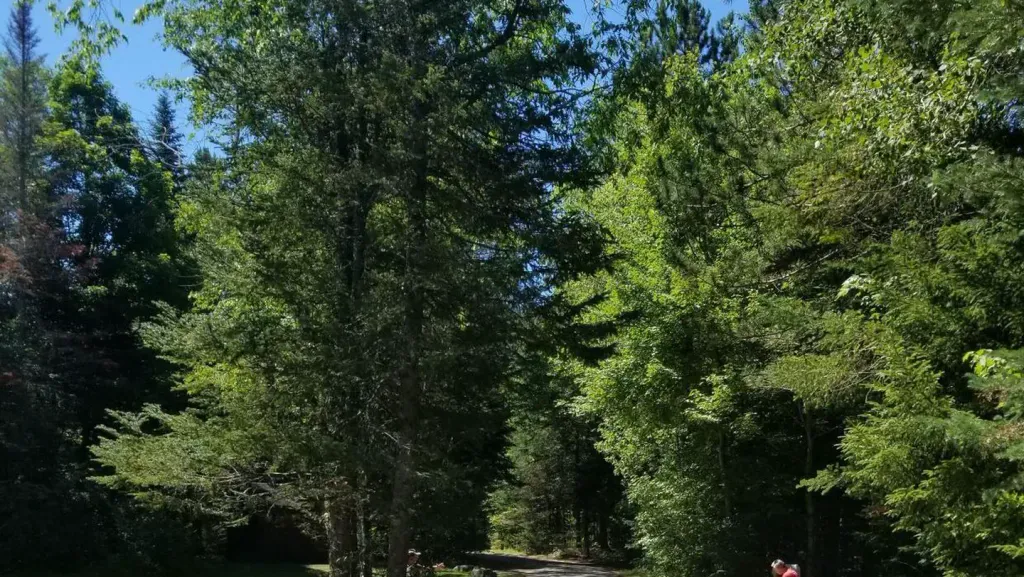
SUGARLOAF 2 CAMPGROUND
~12 min drive
A worthwhile stop near New Hampshire.
Thirteen Falls
~5 min drive
A worthwhile stop near Vermont.
GARFIELD RIDGE SHELTER
~7 min drive
A worthwhile stop near Wisconsin.
Franconia Brook Campsites
~8 min drive
A worthwhile stop near Wisconsin.
Ethan Pond Shelter
~9 min drive
A worthwhile stop near Wisconsin.
Haystack Road
~10 min drive
A worthwhile stop near Wisconsin.
GALE RIVER LOOP
~11 min drive
A worthwhile stop near Wisconsin.
Sugarloaf II Campground
~12 min drive
A worthwhile stop near Vermont.
SUGARLOAF 1 CAMPGROUND
~12 min drive
A worthwhile stop near New Hampshire.
Sugarloaf I
~12 min drive
A worthwhile stop near Wisconsin.
