Loading trail…

Free — you'll pick up right here.
Watch this trail
Sign up to watch it — saving subscribes you to gate, closure and report changes.
Wisconsin
We won't guess. Here is exactly what we do and don't know.
What we do know
Inside Huron-Manistee National Forest
2 managing-area boundaries mapped — agency alerts for them feed this page automatically.
Boundary data
What's missing
No access route mapped
We don't yet know which road reaches this trailhead, so we can't tell you if it's gated.
Nobody's filed a report here yet — be the first.
Government Landing Access
AI-suggested draft · review before you go
This camping area is named for Government Island. The 3 campsites are part of the Forest Services ' 41 designated dispersed sites along the Upper Manistee River. The main access road along the powerline is a snowmobile trail in the winter. Brochure with map: Manistee River This brochure is set to print on 11 x 17 paper, landscape (wide) orientation. To print on 8 1/2 x 11 paper set the print area to 'shrink to printable area ', this will make the text on the page smaller. Flickr Photo Albums Manistee River
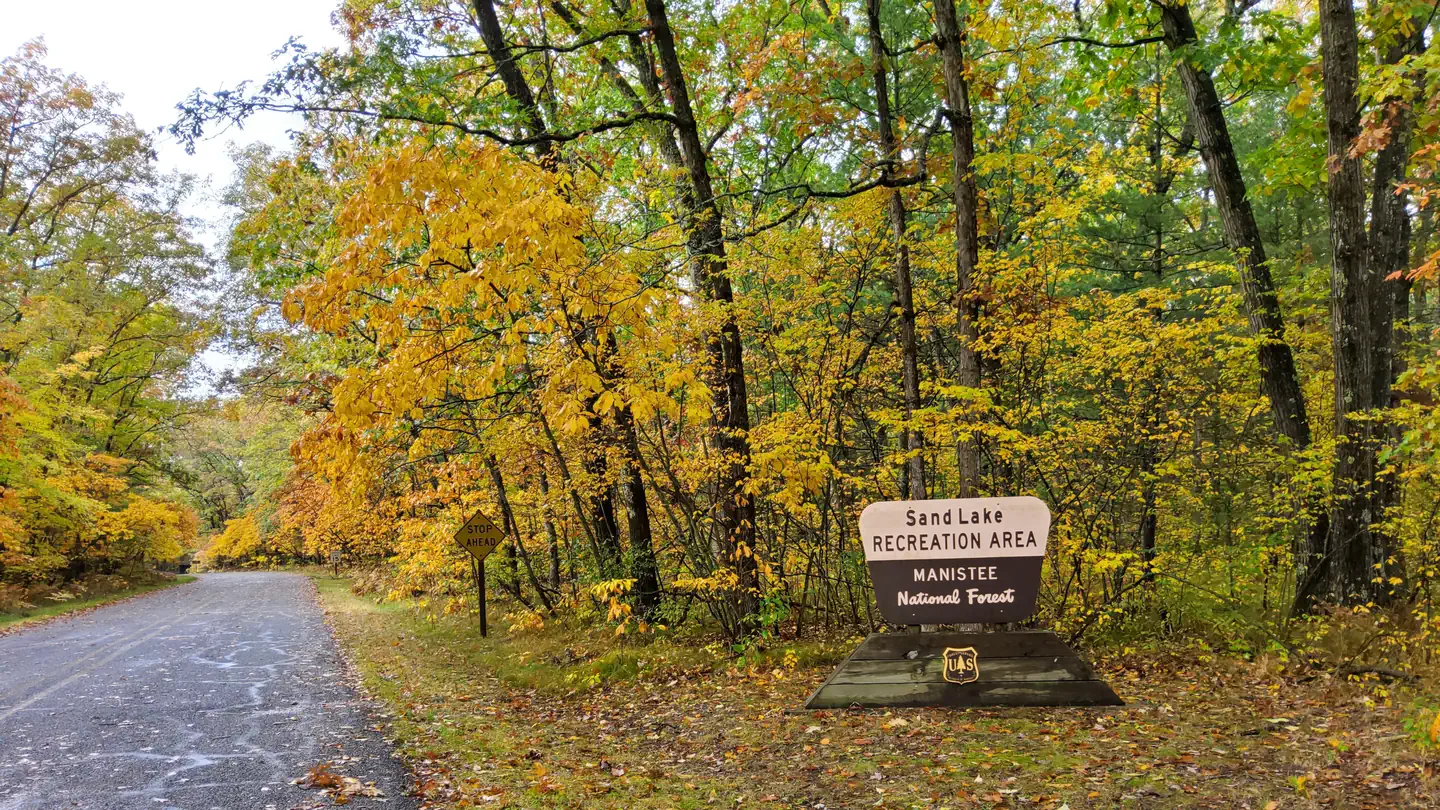
SAND LAKE CAMPGROUND
~12 min drive
A worthwhile stop near Michigan.
Government Landing Site 21
~0 min drive
A worthwhile stop near Michigan.
Upper Manistee River Backcounty Campsites
~1 min drive
A worthwhile stop near Wisconsin.
Government Landing
~1 min drive
A worthwhile stop near Michigan.
Government Landing
~1 min drive
A worthwhile stop near Michigan.
Government Landing
~1 min drive
A worthwhile stop near Michigan.
Red Bridge River Access Site
~3 min drive
A worthwhile stop near Wisconsin.
Camp Mana Pine
~4 min drive
A worthwhile stop near Michigan.
Twin Oaks Campground & Cabins
~4 min drive
A worthwhile stop near Michigan.
MRT #8C
~4 min drive
A worthwhile stop near Michigan.