Loading trail…

Free — you'll pick up right here.
Watch this trail
Sign up to watch it — saving subscribes you to gate, closure and report changes.
VA
We won't guess. Here is exactly what we do and don't know.
What we do know
Inside George Washington and Jefferson National Forest
2 managing-area boundaries mapped — agency alerts for them feed this page automatically.
Boundary data
What's missing
No access route mapped
We don't yet know which road reaches this trailhead, so we can't tell you if it's gated.
Nobody's filed a report here yet — be the first.
Why you'll love it
Pandapas Pond Day Use Area
AI-suggested draft · review before you go
Pandapas Pond is a pastoral, 8 acre pond located just outside the town of Blacksburg. It sits on the Eastern Continental Divide and is surrounded by a forest of hardwoods and rhododendron. Visitors will enjoy strolling the one-mile wheelchair accessible trail that encircles the pond. A wooden boardwalk separates the pond from a small wetland area that is abundant with dragonflies, turtles, songbirds, and waterfowl. Horses and bicycles are not permitted on the trail around the pond; however they may use the 17-mile Poverty Creek Trail system that can be accessed from the upper parking lot. Poverty Creek Trail System Map
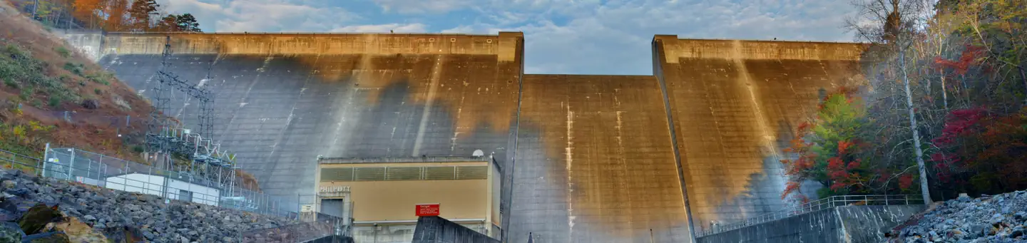
Philpott Park
~1h 12m drive
A worthwhile stop near VA.
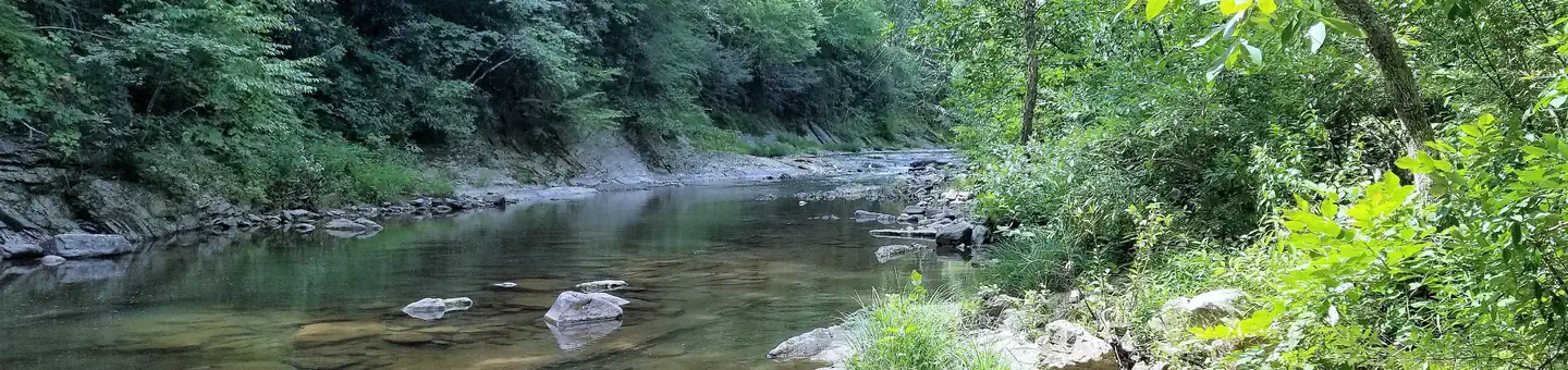
Steel Bridge Campground
~44 min drive
A worthwhile stop near VA.
Claytor Lake
~30 min drive
Easy
New River - Claytor Lake Dam Tailwater
~30 min drive
Moderate
Bluestone Lake Picnic Shelter
~57 min drive
A worthwhile stop near WV.
Duck Pond
~8 min drive
A worthwhile stop near VA.

Craig Creek Recreation Area
~1h 1m drive
A worthwhile stop near VA.
Smith River - Philpott Tailwater
~1h 13m drive
Moderate
Eastern Divide Ranger District
~8 min drive
A worthwhile stop near VA.

Stony Fork Cabin
~1h 15m drive
A worthwhile stop near VA.