Loading trail…

Free — you'll pick up right here.
Watch this trail
Sign up to watch it — saving subscribes you to gate, closure and report changes.
Vermont
2.0 mi
Distance
570 ft
Gain
42 min
Time
We won't guess. Here is exactly what we do and don't know.
What we do know
Inside Green Mountain and Finger Lakes National Forests
2 managing-area boundaries mapped — agency alerts for them feed this page automatically.
Boundary data
What's missing
No access route mapped
We don't yet know which road reaches this trailhead, so we can't tell you if it's gated.
Nobody's filed a report here yet — be the first.
Why you'll love it
Blue Ridge Mountain
AI-suggested draft · review before you go
No permit or access details on file for this trail — check with the local land manager before you go.
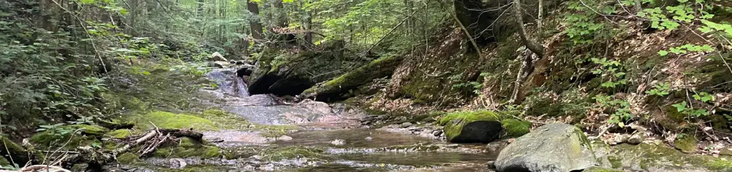
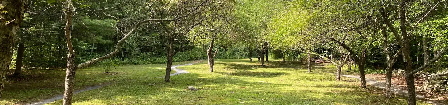
Blue Ridge Mountain offers a moderate out-and-back hike spanning 2.02 miles in Vermont. This trail connects to the Canty Trail system, providing options for extended exploration. The moderate difficulty makes it accessible to hikers with some experience looking for a manageable woodland adventure.
Lefferts Pond
~4 min drive
A 9.25-mile loop around Lefferts Pond in Vermont's backcountry.
Round Robin (C-7)
~6 min drive
A 4.56-mile out-and-back Vermont trail with moderate hiking.
Lost Horizon
~7 min drive
A moderate 1.15-mile out-and-back trail in Vermont offering an engaging hike for intermediate adventurers.
Appalachian
~12 min drive
Moderate out-and-back hike through Vermont's Appalachian region.
The Darning Needle
~8 min drive
A 7.42-mile out-and-back Vermont trail connecting to the Long Trail system.
California Lot
~9 min drive
4.62-mile out-and-back trail in Vermont with moderate difficulty.
Boondocks
~7 min drive
An easy 2.75-mile out-and-back trail in Vermont that links to the Catamount Trail system.
Chittenden Brook
~15 min drive
A 7.14-mile loop following Chittenden Brook through Vermont forest.
North Pond
~11 min drive
13.60-mile hard out-and-back trail in Vermont.
A and D
~10 min drive
4.16-mile moderate out-and-back trail in Vermont.