Loading trail…

Free — you'll pick up right here.
Watch this trail
Sign up to watch it — saving subscribes you to gate, closure and report changes.
Utah
2.8 mi
Distance
81 ft
Gain
58 min
Time
We won't guess. Here is exactly what we do and don't know.
What we do know
Inside Ashley National Forest
3 managing-area boundaries mapped — agency alerts for them feed this page automatically.
Boundary data
What's missing
No access route mapped
We don't yet know which road reaches this trailhead, so we can't tell you if it's gated.
Nobody's filed a report here yet — be the first.
Why you'll love it
Dry Ridge
AI-suggested draft · review before you go
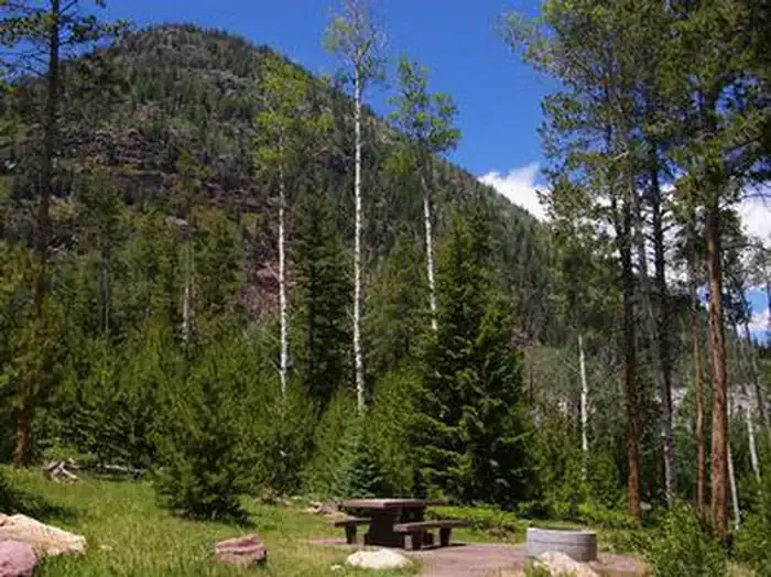
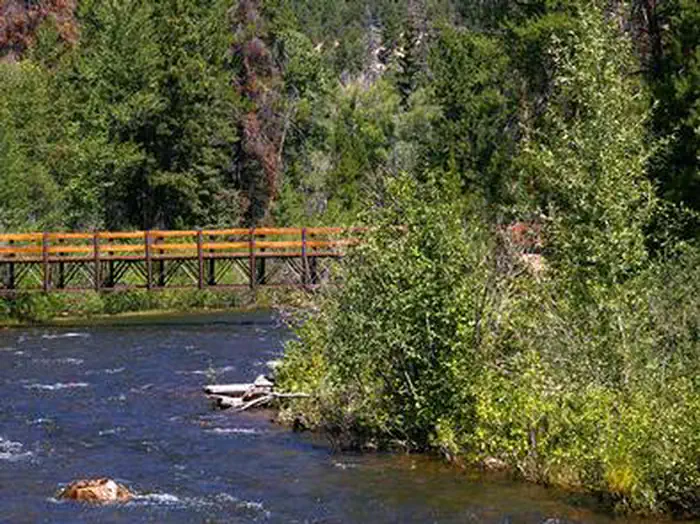
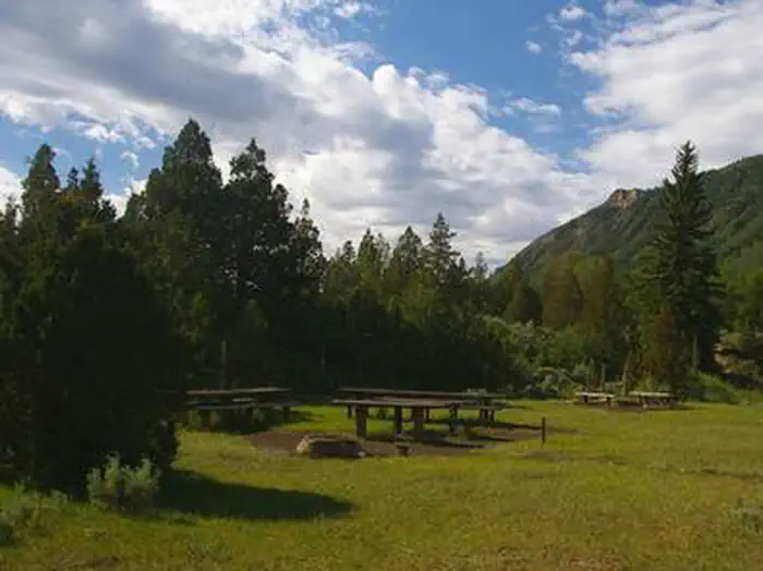
Dry Ridge is a short and accessible trail offering a quick escape into Utah's high desert landscape. With minimal elevation gain and a straightforward 2.80-mile route, this hike is perfect for those seeking a leisurely walk with views of the surrounding ridgeline terrain. The trail showcases typical Utah scrubland and open vistas characteristic of the region's arid environment.
Tworoose Pass
~2 min drive
Scenic 6.9-mile alpine pass hike with gentle elevation gain.
West Fork-Rock Creek
~6 min drive
Moderate 5.8-mile canyon hike with steady elevation gain and creek views.
Yellowpine Interpretive
~7 min drive
Easy 1-mile interpretive loop through ponderosa pine forest with educational signage.
East Fork Blacks Fork Trail
~20 min drive
Easy 2.8-mile forest hike along East Fork creek with modest elevation gain.
Ledge
~6 min drive
Challenging 15.62-mile trail with 1,782 ft elevation gain in Utah's backcountry.
South Fork Rock Creek
~11 min drive
Moderate creek canyon hike with steady elevation gain and scenic forest.
Rock Creek
~7 min drive
Easy sub-mile creek-side walk with minimal elevation gain.
Two Pond
~7 min drive
Easy 4.27-mile hike to scenic alpine ponds with minimal elevation gain.
Rt. Fork Log Hollow
~12 min drive
Easy 5-mile canyon walk through Log Hollow with minimal elevation gain.
Brown Duck
~8 min drive
Easy 1.8-mile trail with 433 ft gain near Brown Duck, Utah.