
Red Desert RV Park
Hiking business nearby (~27 mi away) — hasn't claimed their Roamze page yet
Canyonlands' Cave Spring Trail
Free — you'll pick up right here.
Watch this trail
Sign up to watch it — saving subscribes you to gate, closure and report changes.
Utah
We won't guess. Here is exactly what we do and don't know.
What we do know
Inside Canyonlands National Park
National Park unit boundary is mapped — agency alerts for it feed this page automatically.
Boundary data
What's missing
No access route mapped
We don't yet know which road reaches this trailhead, so we can't tell you if it's gated.
Nobody's filed a report here yet — be the first.
Why you'll love it
Canyonlands' Cave Spring Trail
AI-suggested draft · review before you go
No elevation data on file for this trail.
No permit or access details on file for this trail — check with the local land manager before you go.
<p>This is the trailhead for a short, 0.6-mile (1 km) loop leading to a historic cowboy camp and prehistoric rock markings. You will climb two ladders to complete the route. </p> <ul> <li><strong>Roundtrip Distance</strong>: 0.6 mi (1 km) Time: 45 min</li> <li><strong>Elevation Change</strong>: 67 ft (20 m)</li> <li><strong>Difficulty</strong>: Easy</li> <li><strong>Hike Description</strong>: This short loop leads to a historic cowboy camp and prehistoric rock markings. You will climb two ladders to complete the route. <em>Entering, touching, or climbing on archeological sites is strictly prohibited. View structures from a distance to protect fragile walls.</em></li> <li><strong>Accessibility</strong>: This trail can be rough, uneven, and requires walking up and down a rocky hill and stone steps. It is not accessible to wheelchairs. In winter, there may be snow or icy conditions; we recommend traction devices for hikers.</li> <li><strong>Dogs are not allowed on this trail</strong>. Service animals are allowed in national parks. <a href="https://www.nps.gov/planyourvisit/service-animals.htm">What is a service animal?</a></li> </ul> <p>Descendants of these people still live in the region and consider the spring a sacred place. Help protect our heritage by not entering the spring. <strong>Do not touch or mark the rock markings. It is a violation of federal law to deface pictographs.</strong></p> <h2>Canyon Country</h2> <p>The geology and climate of Canyonlands have created an unusual landscape characterized by maze-like canyons, sheer cliff faces, strange rock formations, deep crevices, and alcoves. Some areas are hospitable to life; some are not. Water plays a major role in determining suitable habitat for humans as well as plants and animals. As you hike Cave Spring Trail, notice how the presence of water has affected each area. Plants, animals, and people have all played a part in shaping the environment we see today. In turn, the canyons have molded the behavior, adaptations, and character of the inhabitants.</p> <h2>Cowboys</h2> <p>In the late 1800s pioneering <a href="https:///www.nps.gov/cany/learn/historyculture/minersranchers.htm">cattlemen</a> settled in canyon country and carved successful cattle operations out of this desert.</p> <p>Widespread ranching required cowboys to stay on the open range with their cattle. They lived in isolated outdoor camps such at this one near Cave Spring. They used these camps from the late 1800s through 1975, when cattle ranching ended inside the park. Many original items left by the cowboys remain. Please do not enter the camp, touch, or remove the objects.</p> <p>The cowboys cooked over an open fire, using Dutch ovens and other simple cookware. Usual cowboy fare included beans, bacon, potatoes, canned goods, sourdough biscuits, and the ever-present coffee.</p> <p>Cowboys established the camp at Cave Spring because of the reliable water source. Rainwater percolating through layers of porous sandstone forms these seeps. Moisture hastens erosion of the rock face and carves alcoves.</p> <h2>Sacred Water</h2> <p>Springs are rare in the desert. In the alcove beyond the cowboy camp, you may notice soot-blackened ceilings, handprints, & painted figures. These tell us that this precious resource also attracted earlier people. Ancestors of today's <a href="https:///www.nps.gov/cany/learn/historyculture/nativeamericans.htm">Native Americans </a>occupied these canyons six millennia before the cattlemen arrived, about 6,000 to 700 years ago.</p> <p>Before the adoption of corn agriculture, Native Americans kept on the move. They followed the annual migrations of their prey and camped near areas with fresh water and plants they could use. Once they domesticated foods like squash, corn, and beans, they moved less and began farming. They left the area when the water table dropped following prolonged drought, making farming difficult.</p> <h2>Plants and Animals</h2> <p>Few plants can survive the intense heat and dryness of bare rock. Shallow pockets of soil support the growth of <a href="https:///www.nps.gov/articles/seug-soil-crust.htm">biological soil crust</a>. This crust is made up of cyanobacteria, lichens, moss, fungi, and algae, and it is an essential component of the desert ecosystem. It protects soils from wind and water erosion and enriches them with nitrogen and other nutrients. Biological soil crust can take years to grow, and careless footsteps can crush it. Tracks remain visible for decades. Please stay on established trails or bare rock.</p> <p>You can learn about plants and how people have made use of them over time. Signs mark specific plants along the trail.</p>
Peekaboo Trail
~5 min drive
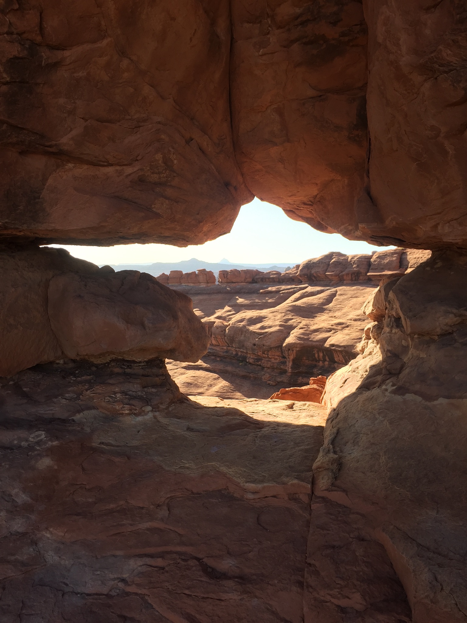
<p>This trail crosses both Wooden Shoe and Lost Canyons on its way to Salt Creek Canyon, passing along high slickrock benches with spectacular views.</p> <ul role="list"> <li aria-setsize="-1" data-aria-level="5" data-aria-posinset="3" data-font="Courier New" data-leveltext="o…
Wooden Shoe Canyon to Lost Canyon Loop Trail
~5 min drive
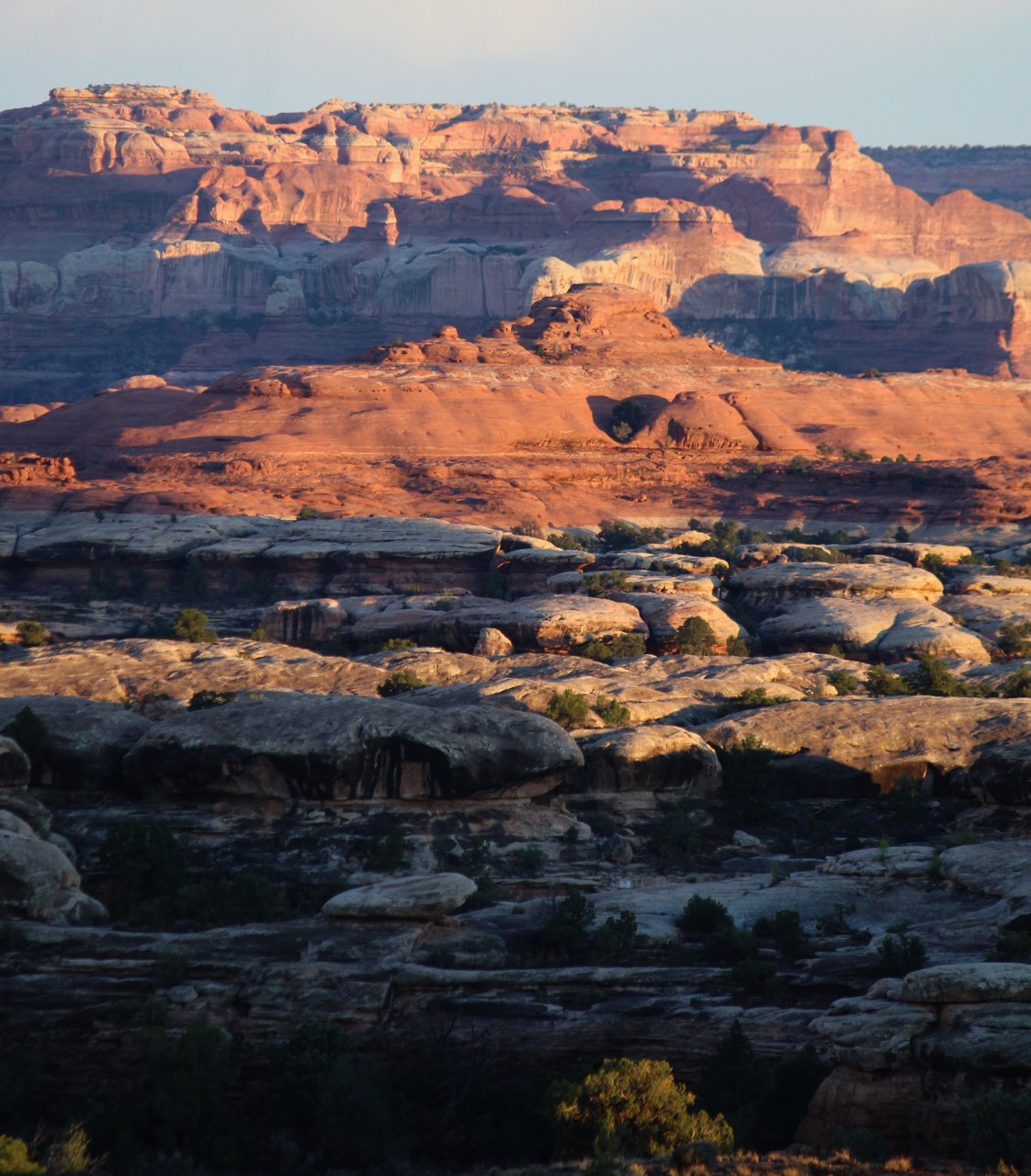
<p paraeid="{156383aa-4d02-43bf-bbf7-157c741fb3f7}{101}" paraid="216926381">This loop hike is a bit more challenging, with one ladder and some difficult sections of climbing between the two canyons.</p> <ul role="list"> <li aria-setsize="-1" data-aria-level="5" data-aria-posin…
Big Spring Canyon to Wooden Shoe Canyon Loop Trail
~5 min drive
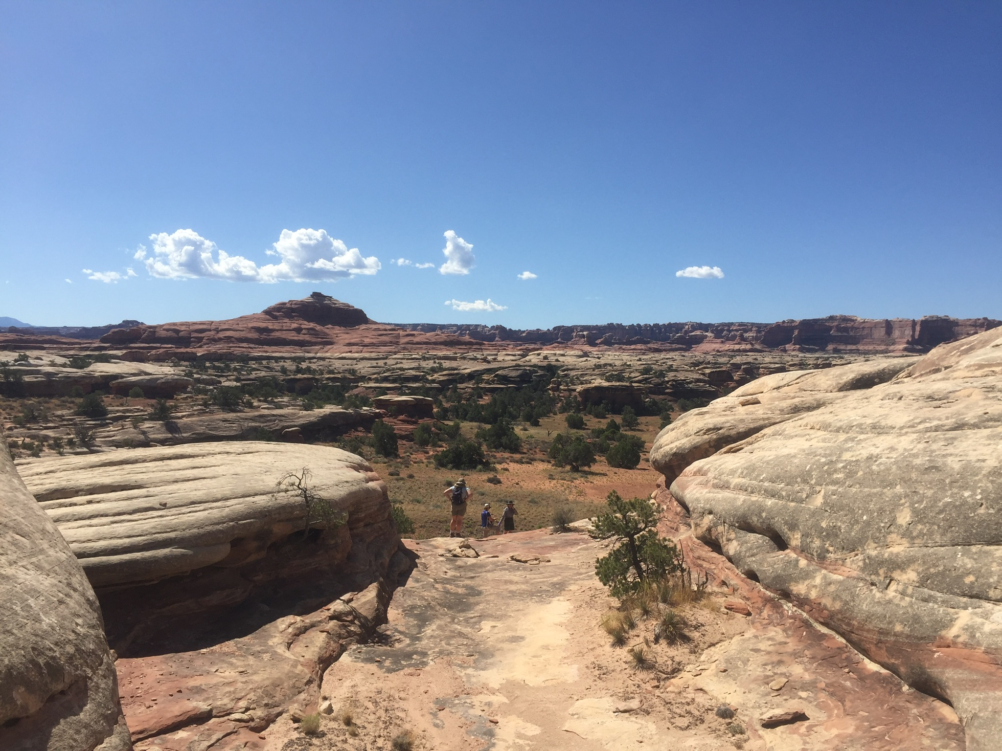
<p paraeid="{156383aa-4d02-43bf-bbf7-157c741fb3f7}{25}" paraid="962957899">A great introduction to the landscape of The Needles, this route connects two canyons for a loop across varied terrain.</p> <ul role="list"> <li><strong>Roundtrip Distance</strong>: 7.5 mi (12 km) </li>…

Big Spring Canyon to Elephant Canyon Loop Trail
~5 min drive
<p>This loop features extended hiking on slickrock benches and mesa tops overlooking canyons. Excellent views of sheer cliff walls and other rock formations.</p> <ul role="list"> <li aria-setsize="-1" data-aria-level="5" data-aria-posinset="1" data-font="Courier New" data-le…
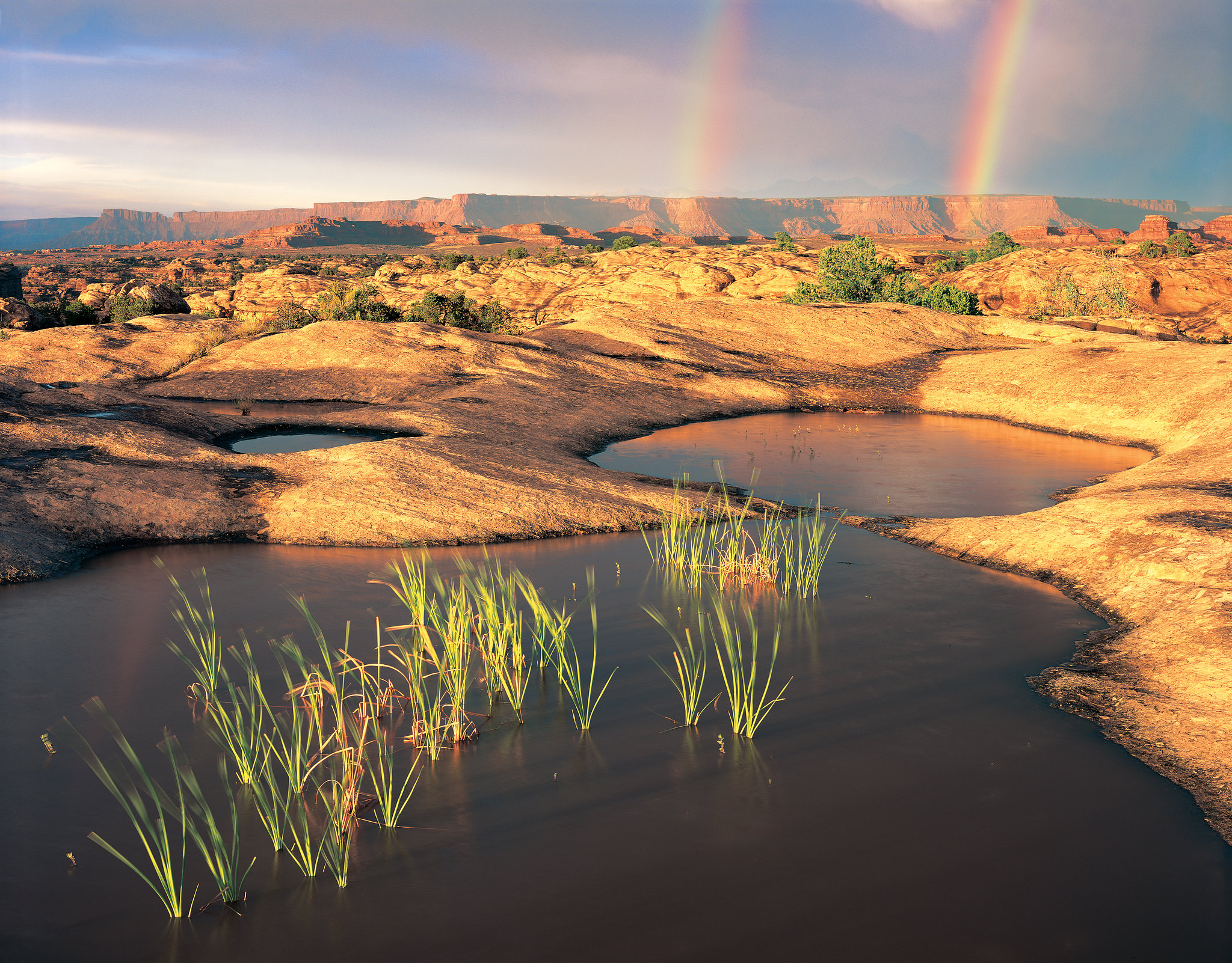
Pothole Point Trail
~5 min drive
<p>This short loop trail (0.6 mi/1 km) crosses sandstone dimpled with pockets called potholes.</p> <ul> <li><strong>Roundtrip Distance</strong>: 0.6 mi (1 km)</li> <li><strong>Time</strong>: 45 min</li> <li><strong>Elevation Change</strong>: 36 ft (11 m)</li> <li><strong>Diffi…
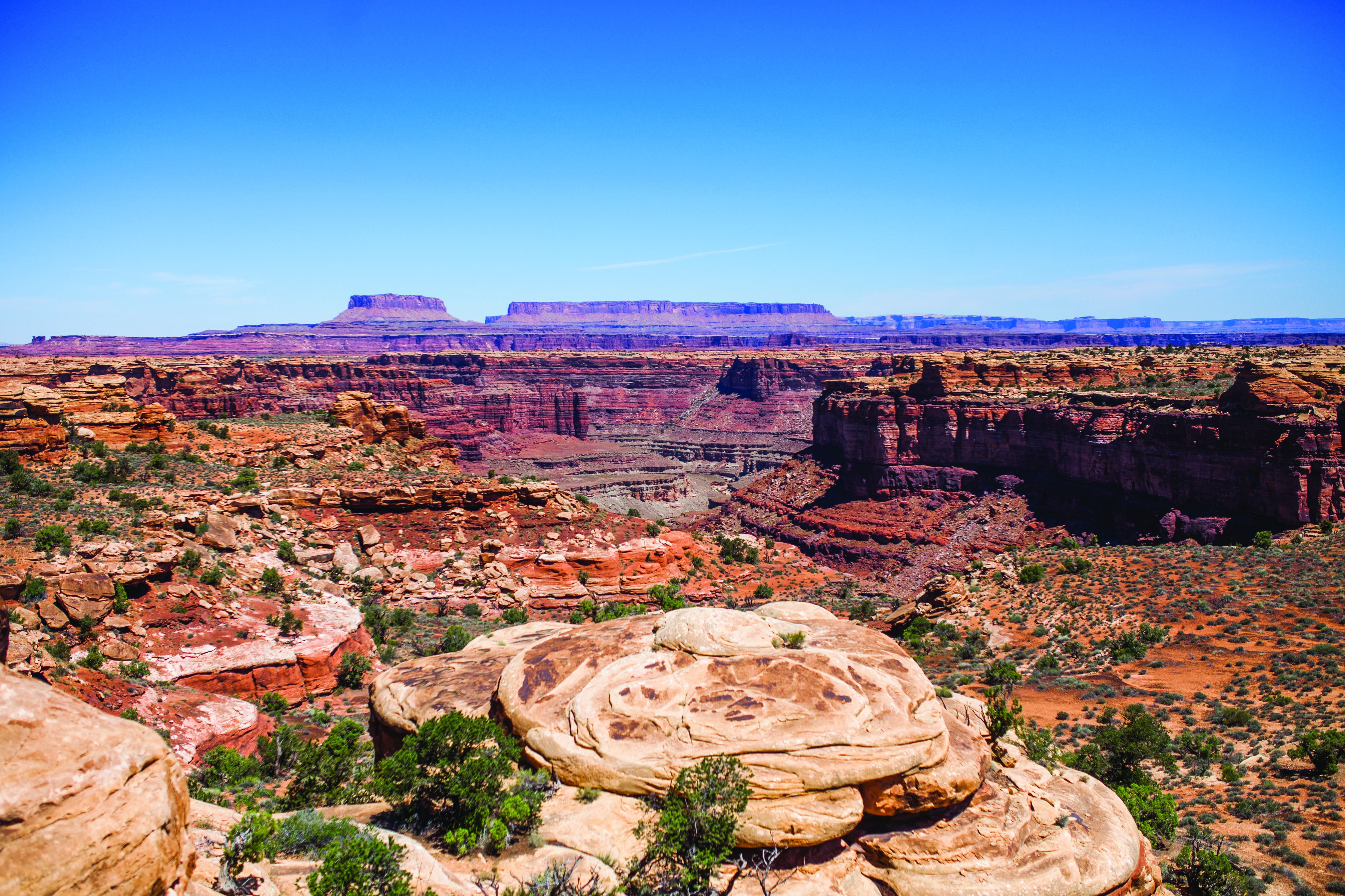
Slickrock Trail
~6 min drive
<p paraeid="{d14d2d0d-a4b0-4790-be11-fb663f41d6ff}{113}" paraid="137460281">Slickrock, a general term for any bare rock surface, dominates much of the landscape in Canyonlands. For millions of years, natural forces have interacted to create the sweeping vistas and landmarks vi…
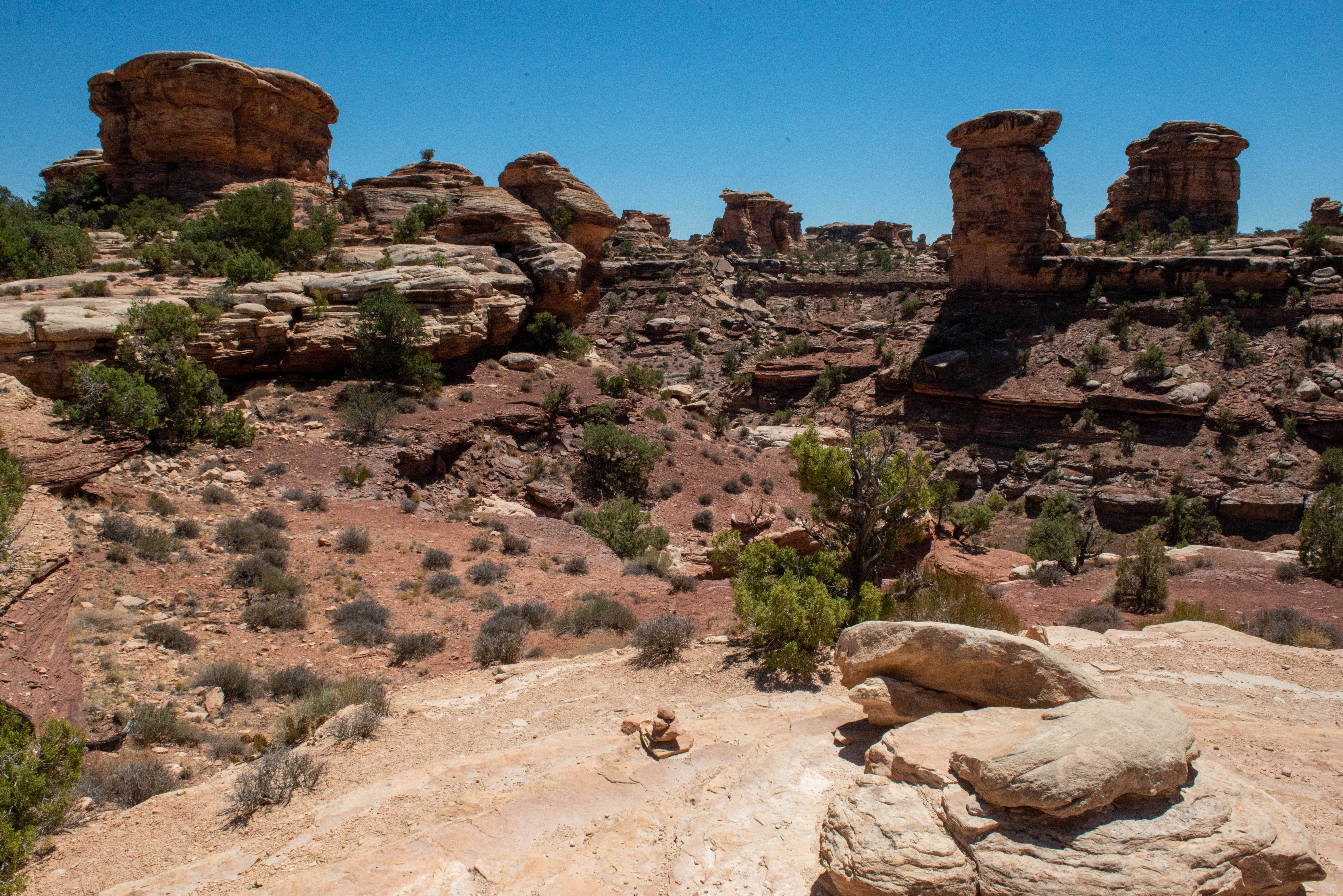
Big Spring Canyon Overlook and Trailhead
~7 min drive
<h4>Overlook</h4> <p>Big Spring rests at the end of the Needles Park Road. From the overlook, unique rock spires and multi-colored sandstone benches line the bend in the canyon. The presence of the spring allows trees and plants to flourish in the spring and summer months.</p>…
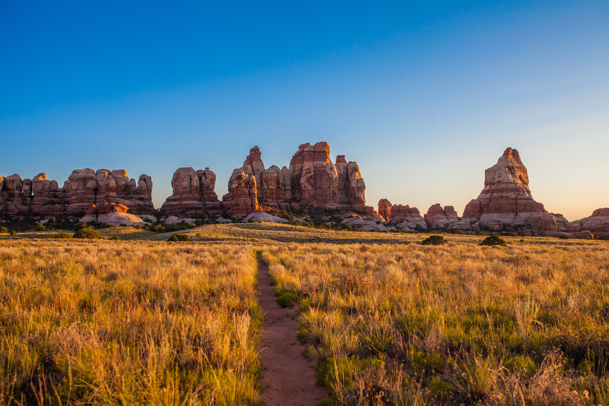
Chesler Park Loop and Joint Trail
~7 min drive
<p>This trail provides many great panoramas of the Needles formations. The Joint Trail winds through deep, narrow fractures in the rock. </p> <ul> <li> <p><strong>Roundtrip Distance</strong>: 10.7 mi (17.2 km)</p> </li> <li> <p><strong>Time</strong>: 5-7 hrs</p> </li> <li> <p>…
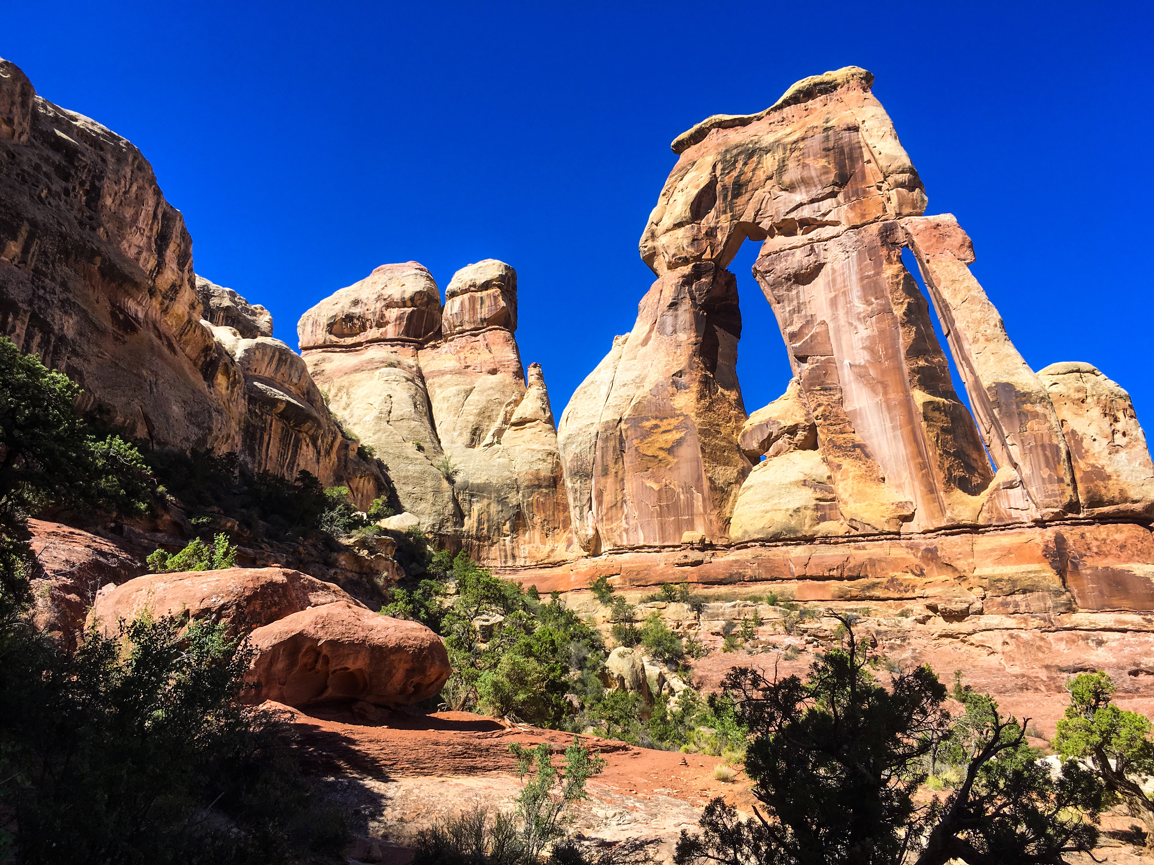
Druid Arch Trail
~7 min drive
<p>Encounter spectacular rock formations on this unique trail.</p> <ul> <li><strong>Roundtrip Distance</strong>: 10.8 mi (17.4 km)</li> <li><strong>Time</strong>: 5-7 hrs</li> <li><strong>Overall Elevation Change</strong>: 503 ft (153 m)<br /> <em>Cumulative elevation gain on…
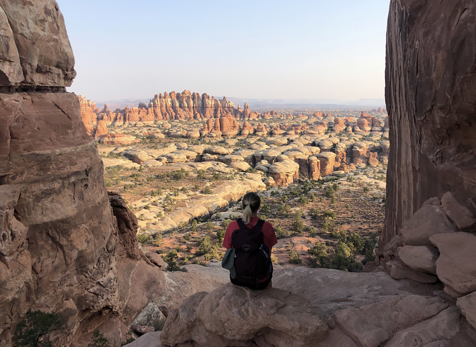
Chesler Park Viewpoint Trail
~7 min drive
<p>Discover stunning views of the sandstone spires that characterize the Needles.</p> <ul> <li><strong>Roundtrip Distance</strong>: 5.8 mi (9.3 km)</li> <li><strong>Time</strong>: 3-4 hrs</li> <li><strong>Overall Elevation Change</strong>: 533 ft (162 m)<br /> <em>Cumulative e…
Local operatorsoffering guided trips. You book directly with them — Roamze doesn’t take a cut.
Red Desert RV Park
Hiking business nearby (~27 mi away) — hasn't claimed their Roamze page yet
Spanish Trail RV Park
Hiking business nearby (~29 mi away) — hasn't claimed their Roamze page yet
Moab Rim Campark
Hiking business nearby (~29 mi away) — hasn't claimed their Roamze page yet