Loading trail…

Free — you'll pick up right here.
Watch this trail
Sign up to watch it — saving subscribes you to gate, closure and report changes.
Texas
1.0 mi
Distance
435 ft
Gain
23 min
Time
We won't guess. Here is exactly what we do and don't know.
What we do know
Inside Big Bend National Park
National Park unit boundary is mapped — agency alerts for it feed this page automatically.
Boundary data
What's missing
No access route mapped
We don't yet know which road reaches this trailhead, so we can't tell you if it's gated.
Nobody's filed a report here yet — be the first.
Why you'll love it
Grapevine Hills
AI-suggested draft · review before you go
No permit or access details on file for this trail — check with the local land manager before you go.
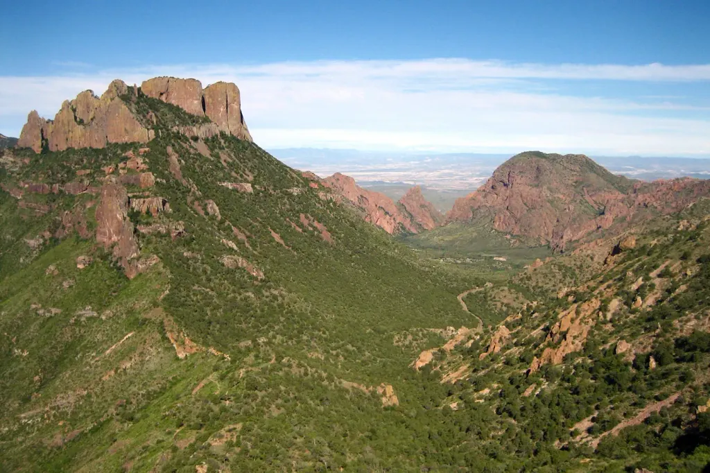
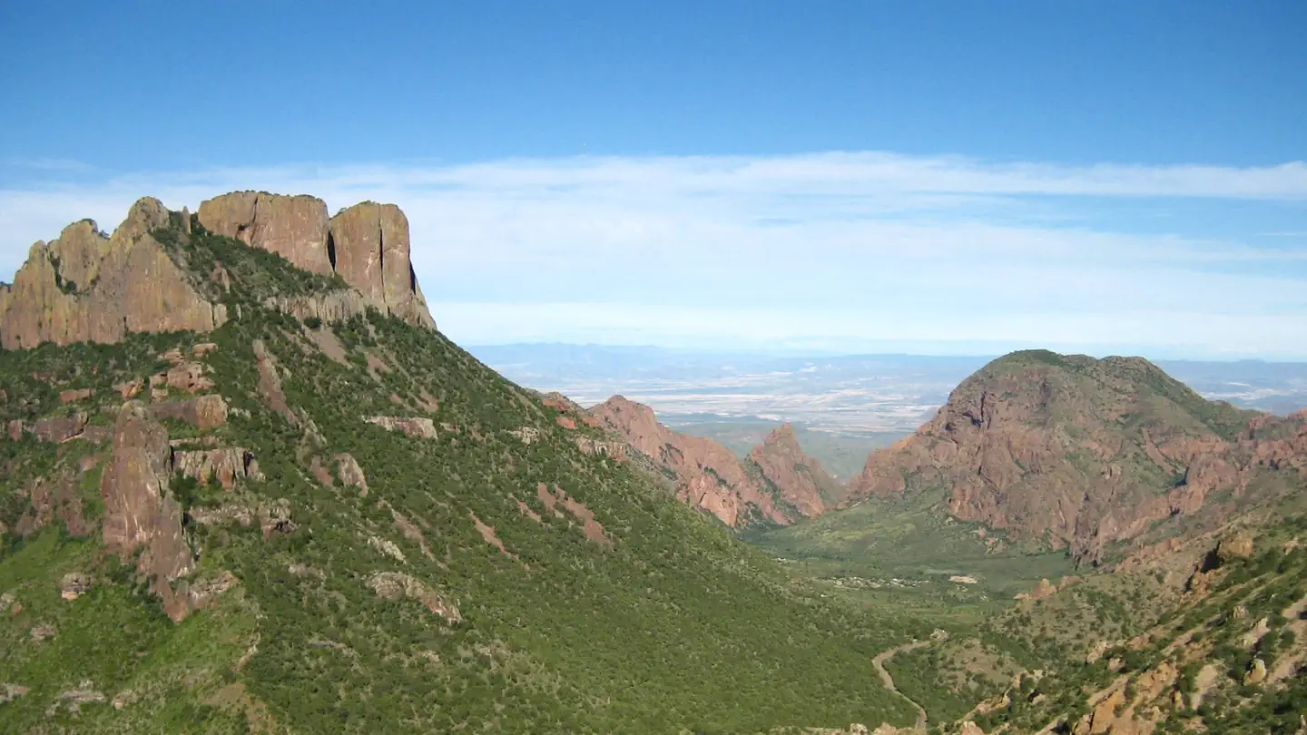
Grapevine Hills offers a short out-and-back trail perfect for a quick desert hike in the Big Bend region of Texas. This nearly one-mile route showcases the rugged, rocky terrain characteristic of the Chisos foothills, with scenic views of the surrounding desert landscape and distinctive granite formations.
Lone Mountain
~8 min drive
Short out-and-back summit hike with accessible elevation gain.
Pine Canyon
~16 min drive
Easy out-and-back canyon hike through pine forest in Texas.
Chihuahuan Desert Nature Trail
~16 min drive
Easy desert loop exploring Chihuahuan Desert flora and geology.
Lost Mine
~17 min drive
Scenic out-and-back climb with panoramic desert views in Texas.
Telephone Canyon
~17 min drive
Scenic 16.80-mile out-and-back canyon hike in remote Texas terrain.
Window - Group Camp
~18 min drive
Easy 0.37-mile out-and-back trail near group camp facilities.
Basin Loop-Pinnacles
~19 min drive
Quick out-and-back hike to scenic pinnacles with geological interest.
Window
~19 min drive
Short out-and-back hike to a notable rock formation in Texas.
Oak Spring
~19 min drive
Easy 1.47-mile out-and-back trail to a natural spring in Texas.
Pinnacles
~20 min drive
Out-and-back hike featuring rocky pinnacles and geological formations.