Loading trail…

Free — you'll pick up right here.
Watch this trail
Sign up to watch it — saving subscribes you to gate, closure and report changes.
Tennessee
15.1 mi
Distance
4,739 ft
Gain
5h 29m
Time
We won't guess. Here is exactly what we do and don't know.
What we do know
Inside Cherokee National Forest
3 managing-area boundaries mapped — agency alerts for them feed this page automatically.
Boundary data
What's missing
No access route mapped
We don't yet know which road reaches this trailhead, so we can't tell you if it's gated.
Nobody's filed a report here yet — be the first.
Why you'll love it
Stratton Bald
AI-suggested draft · review before you go
No permit or access details on file for this trail — check with the local land manager before you go.
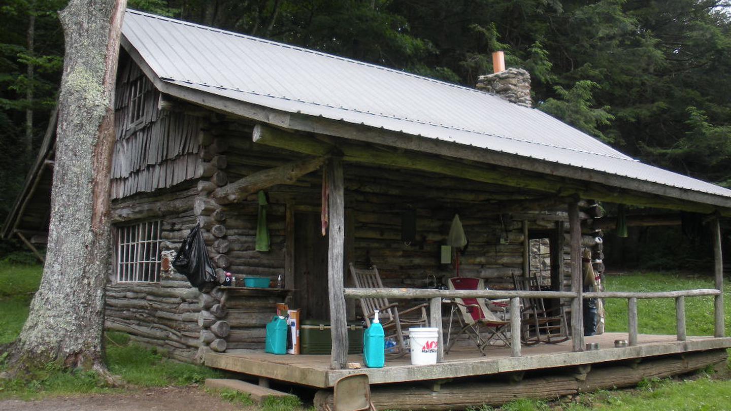
Stratton Bald is a 15.09-mile out-and-back trail in Tennessee that offers hikers access to a well-connected trail system. This route integrates with the Stratton Bald Alternate Trail (TR54A), the Benton MacKaye Trail, and the Cherohala Skyway, making it an excellent choice for those exploring the broader regional trail network. Whether you're seeking a substantial day hike or planning to connect with adjacent routes, Stratton Bald provides a solid foundation for mountain exploration.
Strawberry Knob - Bmt
~4 min drive
3.60-mile out-and-back trail in North Carolina with 572 ft elevation gain and moderate difficulty.
Hangover Lead
~4 min drive
A strenuous 10.49-mile out-and-back trail in Tennessee featuring rocky terrain and connections to the Belding and Tapoco trails.
Benton Mackaye -Cheoah Rd
~6 min drive
Out-and-back hike on the Benton MacKaye Trail in western NC highlands.
Windy Gap
~6 min drive
A 2.99-mile out-and-back trail in Tennessee linked to the BMT system.
Nichols Cove
~6 min drive
A 5.68-mile out-and-back trail in Tennessee with wet conditions, connecting to Big Fat Trail #41 and Yellowhammer Gap Trail.
Naked Ground
~7 min drive
An 8.72-mile out-and-back trail in North Carolina with 2927 ft of elevation gain and hard difficulty.
Ike Branch Trail
~10 min drive
Easy half-mile out-and-back walk along Ike Branch in Tennessee.
Big Fat
~6 min drive
A strenuous 2.83-mile out-and-back trail in Tennessee connected to the Slickrock Creek Trail system.
Deep Creek
~8 min drive
An easy 5.98-mile out-and-back trail in Tennessee that connects to the Indian Creek Trail system, perfect for hikers seeking an accessible adventure.
Snowbird Mountain
~8 min drive
A challenging 28.88-mile out-and-back trail in Tennessee connecting multiple branches and creeks through Snowbird Mountain's backcountry network.