Loading trail…

Free — you'll pick up right here.
Watch this trail
Sign up to watch it — saving subscribes you to gate, closure and report changes.
TN
We won't guess. Here is exactly what we do and don't know.
What we do know
Inside Cherokee National Forest
2 managing-area boundaries mapped — agency alerts for them feed this page automatically.
Boundary data
What's missing
No access route mapped
We don't yet know which road reaches this trailhead, so we can't tell you if it's gated.
Nobody's filed a report here yet — be the first.
Why you'll love it
Watauga Lake
AI-suggested draft · review before you go
In 1942, TVA impounded Elk River, Roan Creek and Watauga River to create this 6,430-acre lake. Nestled between Big Laurel and Pond Mountain wildernesses, the deep blue waters and beautiful mountain vistas set the stage for fishing, boating and water skiing. A network of developed sites including boat launches, picnic areas and a campground are provided by the Forest Service. Hike the Appalachian National Scenic Trail #1 to follow the west and north sides of the lake. In late spring, listen for yellow-throated warblers and vireos at Rat Branch Boat Launch and Watauga Point Picnic Area.
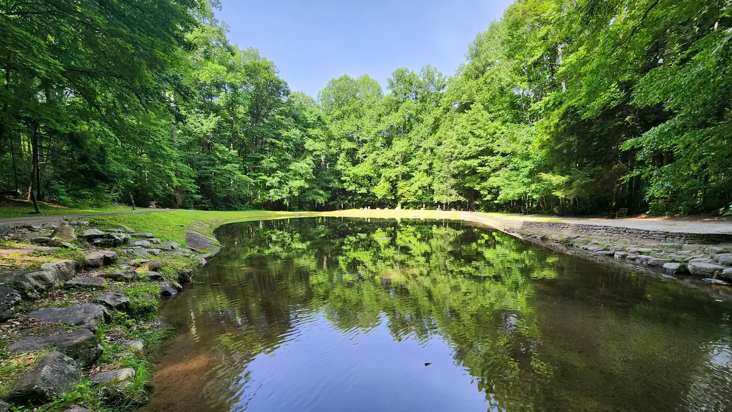
Rock Creek Recreation Area (Cherokee National Forest, TN)
~36 min drive
A worthwhile stop near TN.

Dennis Cove Campground
~10 min drive
A worthwhile stop near TN.
Watauga River Tailwater
~5 min drive
Hard
Rat Branch Boat Launch
~7 min drive
A worthwhile stop near TN.
Watauga River - Valle Crucis Access
~31 min drive
Easy
Linville River - Linville Falls Access
~46 min drive
Expert
Clinch River - Cleveland Access
~1h 15m drive
Moderate
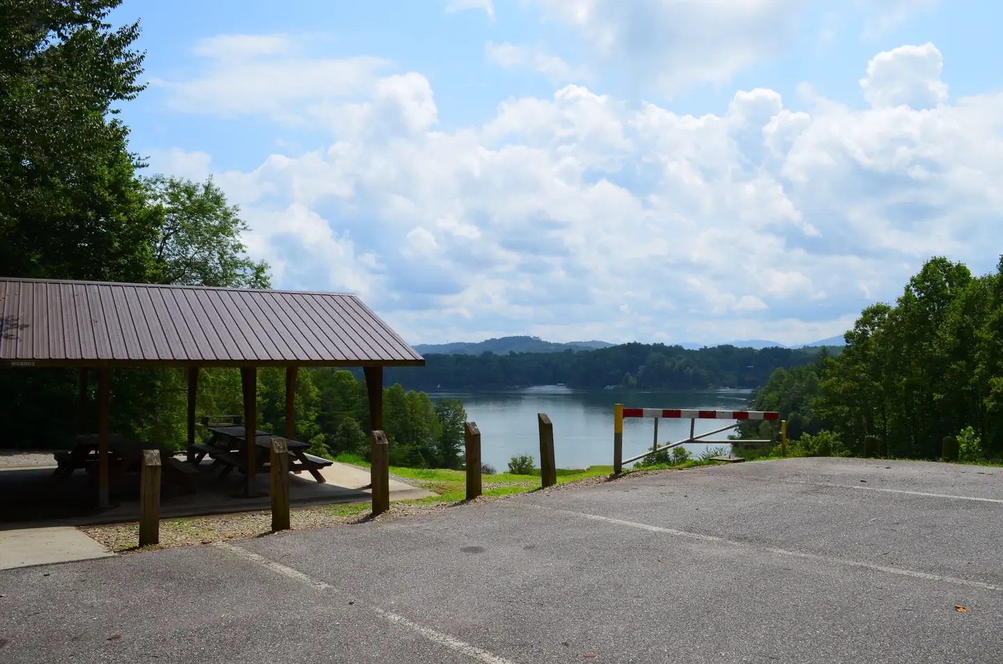
Warrior Creek
~1h 19m drive
A worthwhile stop near NC.
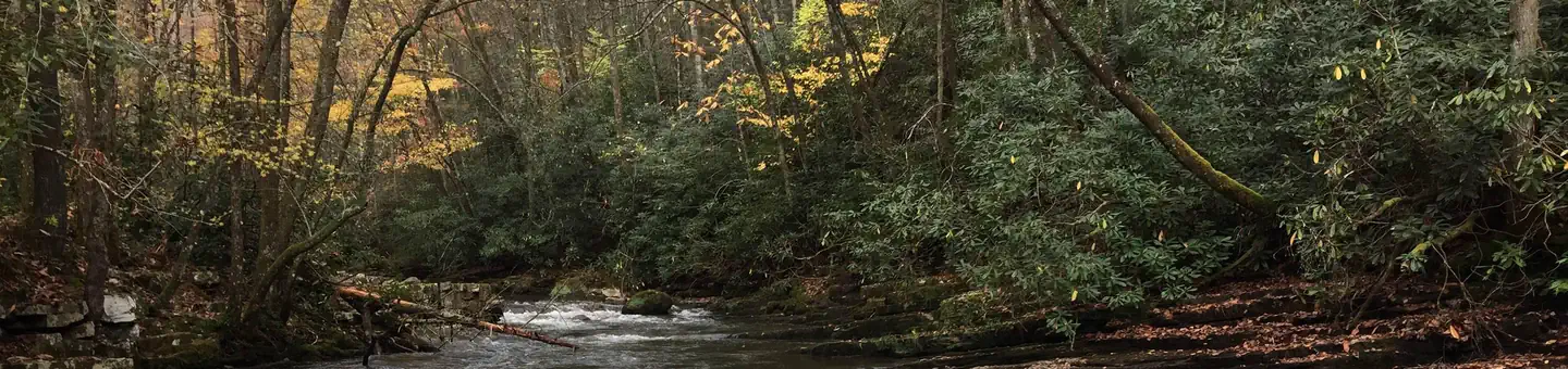
Backbone Rock Campground
~39 min drive
A worthwhile stop near TN.
South Holston River Tailwater
~24 min drive
Hard