Loading trail…

Free — you'll pick up right here.
Watch this trail
Sign up to watch it — saving subscribes you to gate, closure and report changes.
Oregon
0.1 mi
Distance
14 ft
Gain
2 min
Time
No agency boundary, access route or field report is mapped to it — so there is no verdict, and we won't guess. We'll tell you the moment this trail has something to say.
Covered nearby
Trails within 25 miles where we do have a current picture.
Nobody's filed a report here yet — be the first.
Why you'll love it
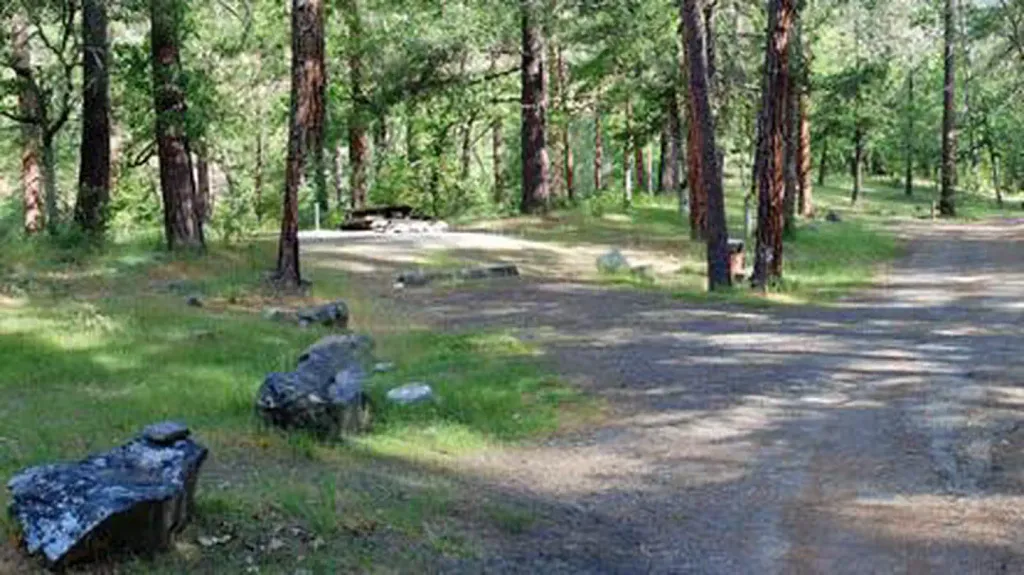
Connector Trail P4 to Cantrall Creek
AI-suggested draft · review before you go
No permit or access details on file for this trail — check with the local land manager before you go.
This brief lollipop trail serves as a connector linking to Cantrall Creek in Oregon's scenic backcountry. At just 0.08 miles, it's an ultra-short segment ideal for accessing the creek area or connecting multiple trail systems. Perfect for hikers looking to extend their journey or explore a specific water feature.
Halls of Manzanita Trail
~0 min drive
Easy 2-mile out-and-back through manzanita groves in Oregon's high desert.
Naversen Family Trail
~1 min drive
Easy 1.14-mile family-friendly loop in Oregon.
Steep Canyon Rangers Trail
~1 min drive
Quick out-and-back canyon hike with steep grades and scenic views.
Atsahu Trail
~1 min drive
Easy 2-mile out-and-back trail in Oregon.
Canyon Vista Trail
~1 min drive
Short out-and-back hike with canyon views near Oregon.
Norling Trail
~1 min drive
Easy 0.85-mile out-and-back walk in Oregon.
Twin Peaks Trail
~1 min drive
Short out-and-back hike to scenic twin peaks in Oregon.
Owl Hoot Trail
~1 min drive
Easy 1-mile out-and-back forest walk in Oregon.
Jackson Creek Nature Trail
~1 min drive
Easy out-and-back creek walk through Oregon's riparian landscape.
Shade Creek Trail
~1 min drive
Easy out-and-back creek walk through shaded forest.