Loading trail…

Free — you'll pick up right here.
Watch this trail
Sign up to watch it — saving subscribes you to gate, closure and report changes.
Oregon
0.3 mi
Distance
69 ft
Gain
8 min
Time
No agency boundary, access route or field report is mapped to it — so there is no verdict, and we won't guess. We'll tell you the moment this trail has something to say.
Covered nearby
Trails within 25 miles where we do have a current picture.
Nobody's filed a report here yet — be the first.
Why you'll love it
Auburn-Burnt River
AI-suggested draft · review before you go
No permit or access details on file for this trail — check with the local land manager before you go.
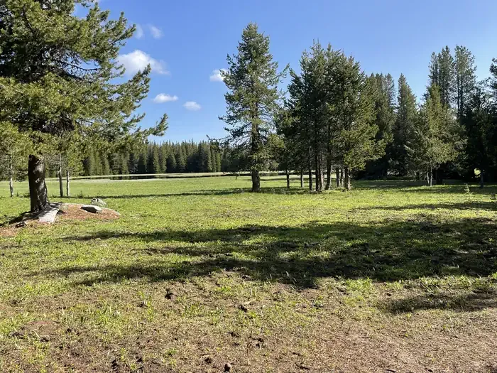
The Auburn-Burnt River out-and-back trail follows a scenic corridor through the Blue Mountains of eastern Oregon, tracing the historic route between two small communities. This trail offers hikers a chance to explore the transition zone between ponderosa pine forests and riparian areas, with the Burnt River providing a constant companion and water source throughout the journey.
Eagle Valley Rr Grade Loop
~0 min drive
Historic railroad grade loop through scenic Eagle Valley.
W
~1h 5m drive
Moderate 9.74-mile Idaho hike with 2,339 ft elevation gain.
Benton Creek
~1h 7m drive
A 5.31-mile out-and-back trail in Idaho that links to the Sturgill Creek trail system.
Ascent
~1 min drive
Steady out-and-back climb with rewarding elevation gain and views.
Cottonwood Creek
~1h 7m drive
Moderate 6.25-mile creek-side hike with 1,948 ft elevation gain.
Bear Saddle
~1h 8m drive
Moderate 5.2-mile climb to a scenic mountain saddle with excellent ridge views.
Flagstaff Loop
~1 min drive
Out-and-back trail with scenic views and accessible hiking.
Porcupine Creek
~1h 7m drive
Moderate 11-mile creek-side trail through Idaho backcountry forest.
Elkhorn Crest National Recreation Trail
~26 min drive
Alpine ridge traverse through Oregon's Blue Mountains with expansive summit views.
E
~1h 8m drive
Moderate 7.73-mile Idaho trail with steady elevation gain and scenic views.