Loading trail…

Free — you'll pick up right here.
Watch this trail
Sign up to watch it — saving subscribes you to gate, closure and report changes.
North Dakota
144.4 mi
Distance
5,719 ft
Gain
51h 1m
Time
We won't guess. Here is exactly what we do and don't know.
What we do know
Inside Dakota Prairie Grasslands
2 managing-area boundaries mapped — agency alerts for them feed this page automatically.
Boundary data
What's missing
No access route mapped
We don't yet know which road reaches this trailhead, so we can't tell you if it's gated.
Nobody's filed a report here yet — be the first.
Why you'll love it
Maah Daah Hey Trail
AI-suggested draft · review before you go
No permit or access details on file for this trail — check with the local land manager before you go.
The Maah Daah Hey Trail is North Dakota's premier long-distance hiking route, stretching 144 miles as a point-to-point trail through the scenic badlands and Missouri River breaks. This epic journey traverses diverse terrain including buttes, coulees, and grasslands while offering stunning vistas of the Theodore Roosevelt National Park region and surrounding wilderness. The trail showcases the rugged beauty of western North Dakota's unique landscape, making it a challenging multi-day adventure for experienced backpackers.
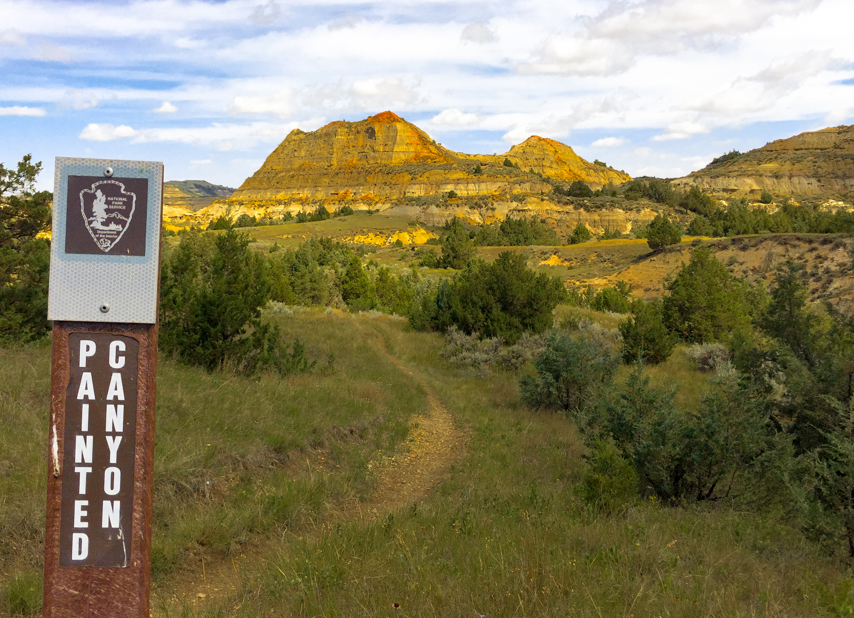
Painted Canyon Trail
~36 min drive
<p>Just before you lies the beginning of the Painted Canyon Trail! This 4.3-mile-long trail offers a great pathway into the canyon I just discussed. You will descend to the canyon floor, where you will be able to fully experience the great scenery Painted Canyon has to offer.…
Coal Creek
~22 min drive
Easy out-and-back creek walk in North Dakota.
Buffalo Gap
~51 min drive
Moderate 11.90-mile out-and-back badlands hike through scenic canyon terrain.
Ice Caves
~1h 25m drive
3-mile out-and-back hike to natural ice cave formations in North Dakota badlands.
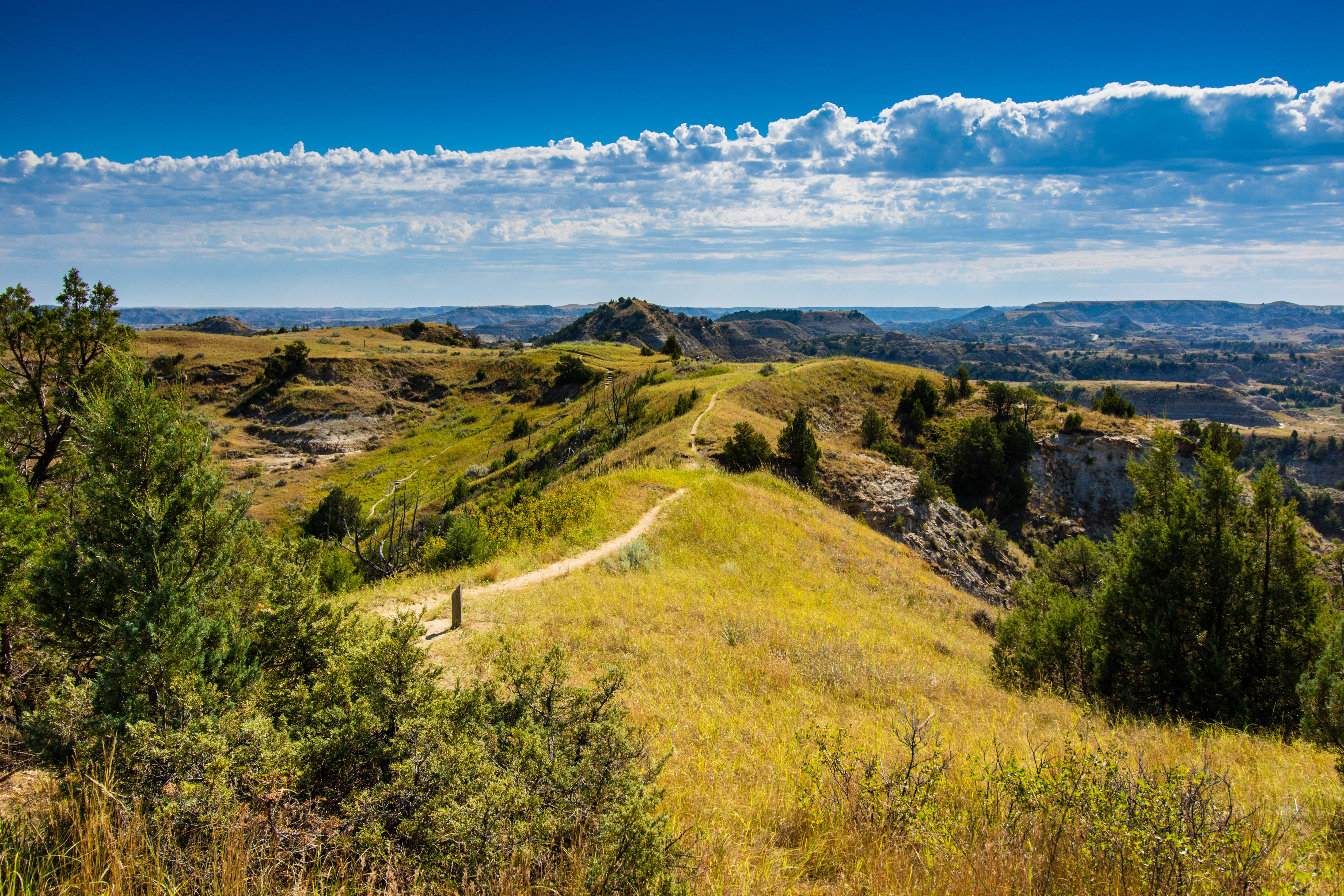
Ridgeline Nature Trail
~38 min drive
<table border="1" cellpadding="0" cellspacing="0" width="531"> <tbody> <tr> <td valign="top" width="252"> <p>Explore the badlands environment along a nature trail with moderate to steep grades. Take along a trail brochure, available at the trailhead, to learn as you adventure.…
Buffalo Gap Loop
~46 min drive
Easy 2.68-mile loop through North Dakota's scenic Buffalo Gap area.
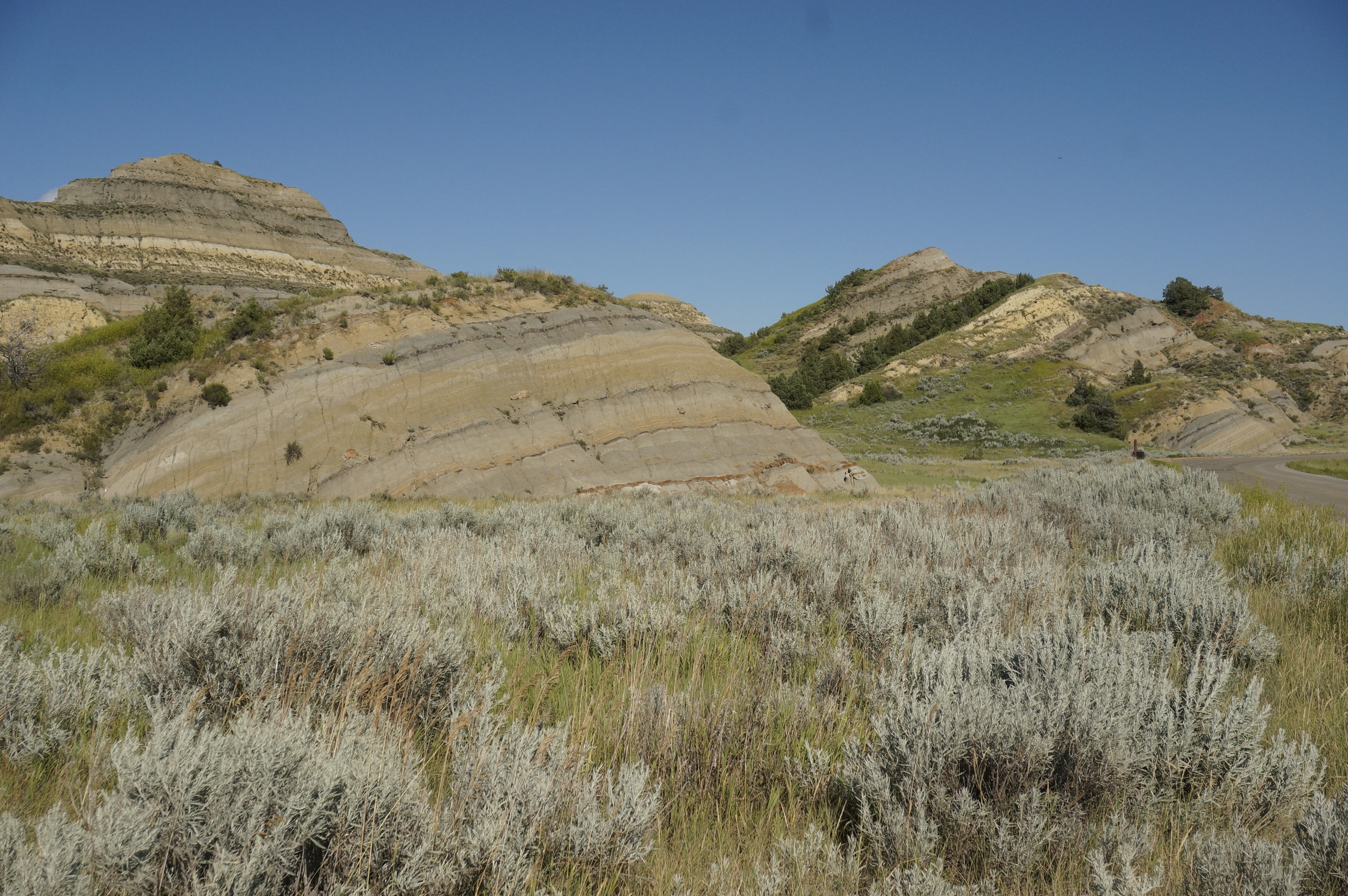
Coal Vein Trail Post 13: Slumping
~39 min drive
The hill in front of you has the appearance of sliding slowly into a jumble. That is exactly what it is doing through a process called slumping.<br /> <br /> When the coal vein burned under this area, cracks formed in the hillside. Rain flowing into the cracks weakens the hill…
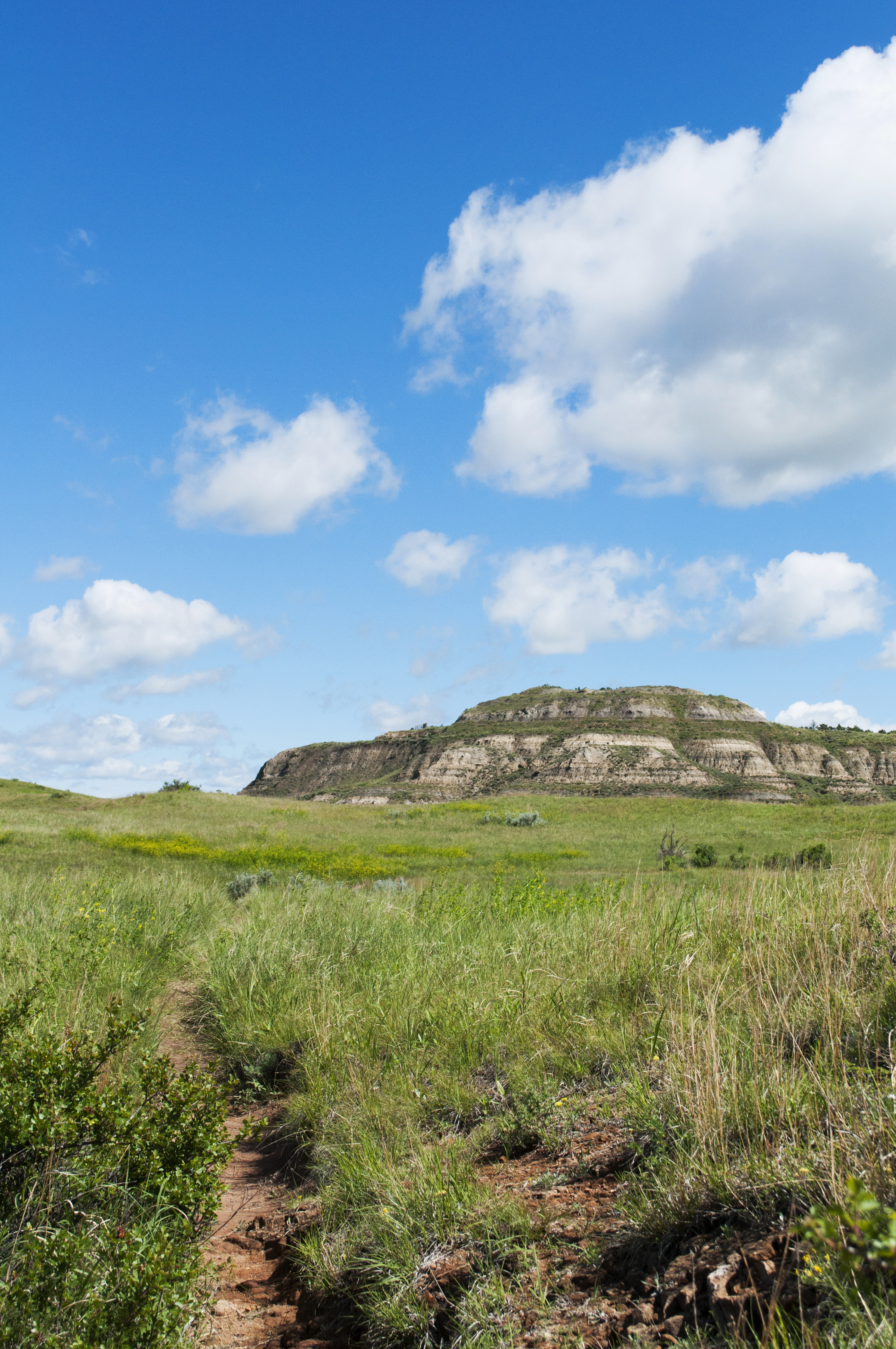
Coal Vein Trail Post 14: Grassland
~39 min drive
When the underground coal fire was burning, this area looked more like a wasteland than a grassland. After the fire burned out, prairie plants reclaimed the land slowly over time.<br /> <br /> From a distance, prairie may look plain, but it is actually one of the most diverse…
Coal Vein Trail Post 9: Clinker
~39 min drive
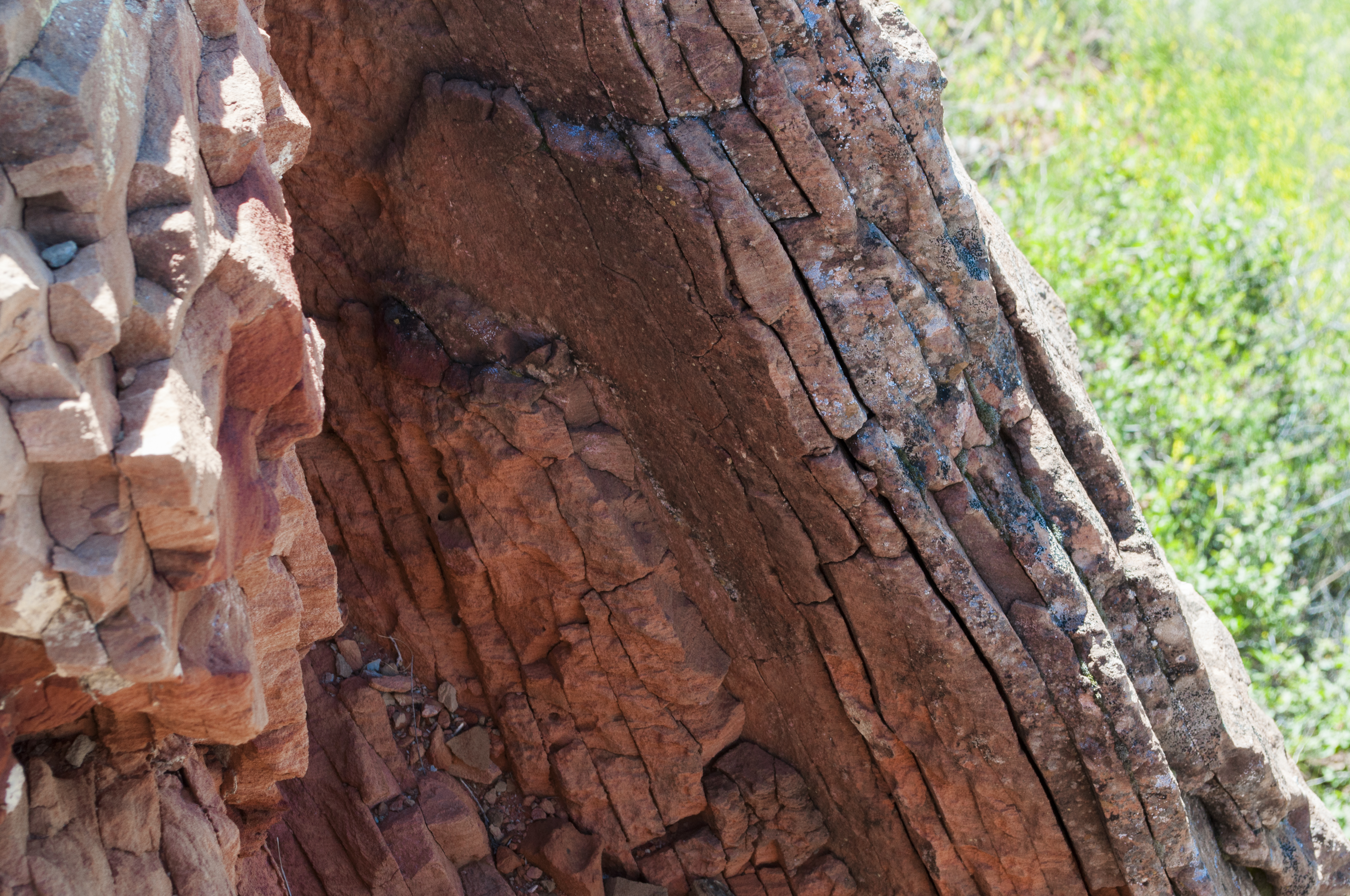
Feel the red rock next to the post. It is locally called scoria, but its true name is clinker. Clinker is created when a burning coal seam bakes the rock layer above it. Baking rock is like putting clay into a kiln to make pottery - the rock hardens as it bakes. Because clinke…
Coal Vein Trail Post 10: Seasonal Stream
~39 min drive
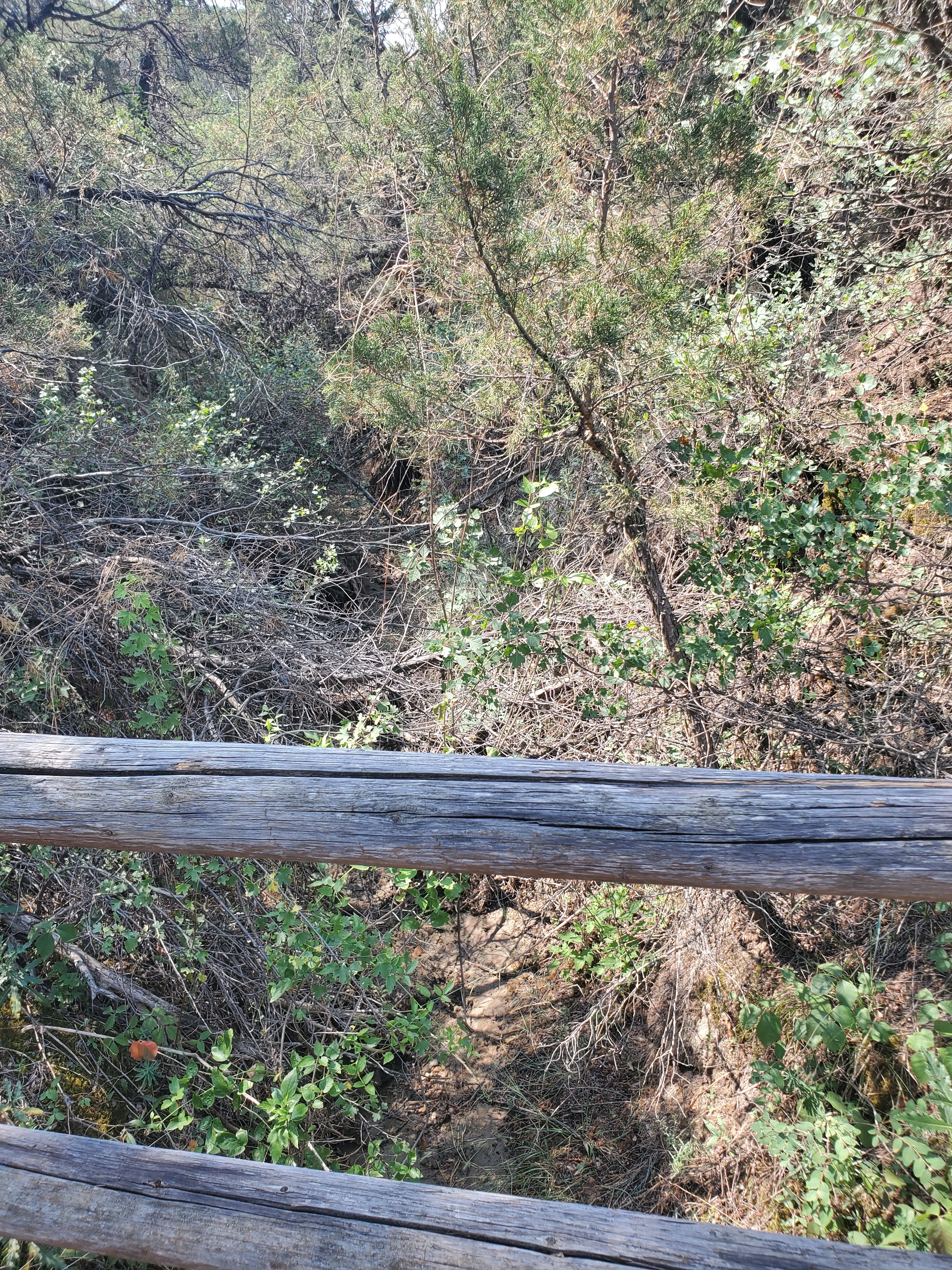
Just ahead, stairs lead to the valley of a seasonal stream. As you descend, notice the cool, moist air against your skin. Because it is protected from the sun, this area stays moist and cool. Note the plants you see here and compare them to the plants you encountered in open g…