Loading trail…

Free — you'll pick up right here.
Watch this trail
Sign up to watch it — saving subscribes you to gate, closure and report changes.
New York
2.4 mi
Distance
499 ft
Gain
1h 2m
Time
No agency boundary, access route or field report is mapped to it — so there is no verdict, and we won't guess. We'll tell you the moment this trail has something to say.
Covered nearby
Trails within 25 miles where we do have a current picture.
Nobody's filed a report here yet — be the first.
Why you'll love it
Red Marker Trail
AI-suggested draft · review before you go
No permit or access details on file for this trail — check with the local land manager before you go.
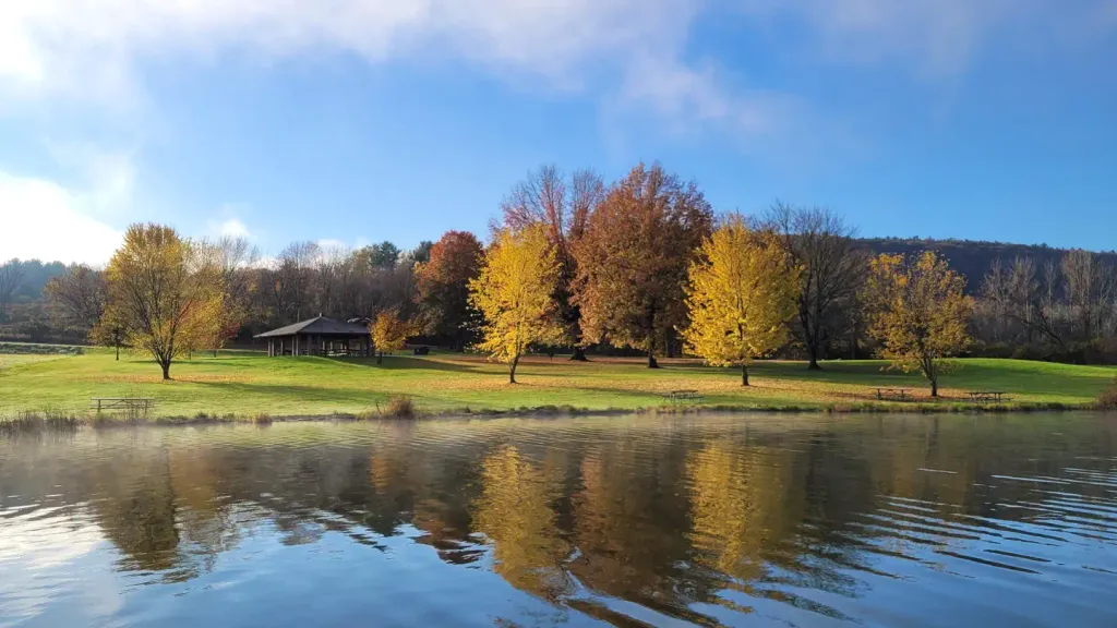
The Red Marker Trail is a scenic loop in New York that covers 2.38 miles of accessible hiking terrain. This well-marked route offers a pleasant walk through natural surroundings, making it an excellent choice for hikers seeking a shorter outing without significant elevation challenges.
School House Trail
~6 min drive
A 2.56-mile point-to-point trail through New York forest.
Campground Trail
~14 min drive
Easy 1-mile out-and-back trail near a New York campground.
South Slope
~15 min drive
Easy 1.59-mile out-and-back trail in New York.
Backbone
~17 min drive
Challenging 14.70-mile out-and-back with significant elevation gain in New York.
Bog Loop
~11 min drive
Short point-to-point wetland walk through New York bog habitat.
Burnt Hill
~15 min drive
A 4-mile woodland loop in New York with forest views and moderate terrain.
Ravine
~17 min drive
Easy out-and-back ravine hike near Ravine, New York.
Finger Lakes Trail (Eastern Finger Lakes Region)
~12 min drive
Brief point-to-point segment of NY's Finger Lakes Trail system.
Dabes Diversion Loop
~44 min drive
A 2.52-mile point-to-point trail in New York with easy terrain.
Swedish Loop Trail
~41 min drive
A 3.21-mile point-to-point trail through New York's natural landscape.