Loading trail…

Free — you'll pick up right here.
Watch this trail
Sign up to watch it — saving subscribes you to gate, closure and report changes.
New Mexico
2 ft
Gain
We won't guess. Here is exactly what we do and don't know.
What we do know
Inside White Sands National Park
National Park unit boundary is mapped — agency alerts for it feed this page automatically.
Boundary data
What's missing
No access route mapped
We don't yet know which road reaches this trailhead, so we can't tell you if it's gated.
Nobody's filed a report here yet — be the first.
Why you'll love it
Playa Trail
AI-suggested draft · review before you go
No permit or access details on file for this trail — check with the local land manager before you go.
<p>The Playa Trail is an easy, 0.5 mile (800m) round-trip, level trail with outdoor exhibits along the way to help you learn and explore this trail and the characteristics that make it special. Follow the green trail markers with a heart symbol that lead to a small playa. On this self-guided trail, you will discover the importance of a playa undergoing constant change. Learn how this change creates habitats for plants and animals. It may be brown, white, filled with water, or have growing crystals. See what the playa looks like today! At the end of the trail, you have the opportunity to travel back in time and see what this area looked like 10,000 years ago and learn about the giants that once roamed this land. Please stay on the trail. Footprints destroy the biological soil crust that is vital to White Sands. The average completion time is 30 minutes.<br /> <br /> <strong>Length:</strong> 0.5 mile (800m), round-trip<br /> <strong>Trail Marker Color:</strong> Green<br /> <span style="display: none;"> </span><strong>Trail Marker Symbol:</strong> Heart<br /> <strong>Average Completion Time:</strong> 30 minutes<br /> <strong>Difficulty:</strong> Easy<br /> <span style="display: none;"> </span><strong>Distance from Visitor Center: </strong>2.5 miles (4 km)<br /> <strong>Restroom:</strong> No restroom facility is available</p> <p>Before setting out on foot at White Sands National Park, please view our <a href="https:///www.nps.gov/whsa/planyourvisit/hiking-safety-tips.htm">Hiking Safety Tips.</a></p>
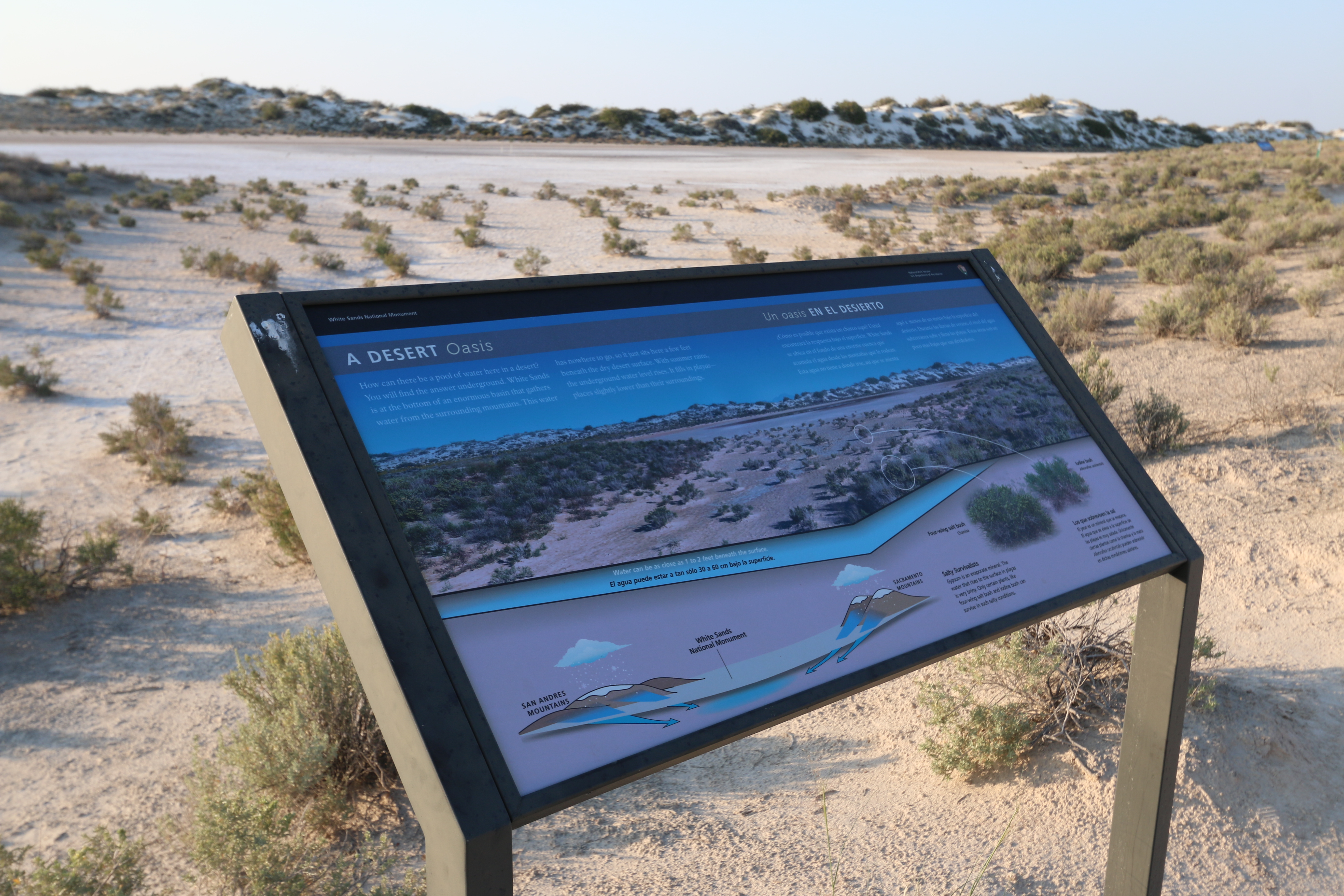
A Desert Oasis Interpretive Sign
~0 min drive
<p>Water is the focus of this interpretive sign on the Playa Trail. It describes how water is trapped in the basin and helps create the dried lakebed that is highlighted on this trail.</p>
Mule Cyn
~29 min drive
Moderate canyon hike with steady elevation gain and scenic desert views.
Goat Springs
~31 min drive
Steady 2.94-mile climb to Goat Springs with 1,584 ft elevation gain.
Dry Canyon
~37 min drive
Moderate 11.2-mile canyon hike with 1,894 ft elevation gain through high desert terrain.
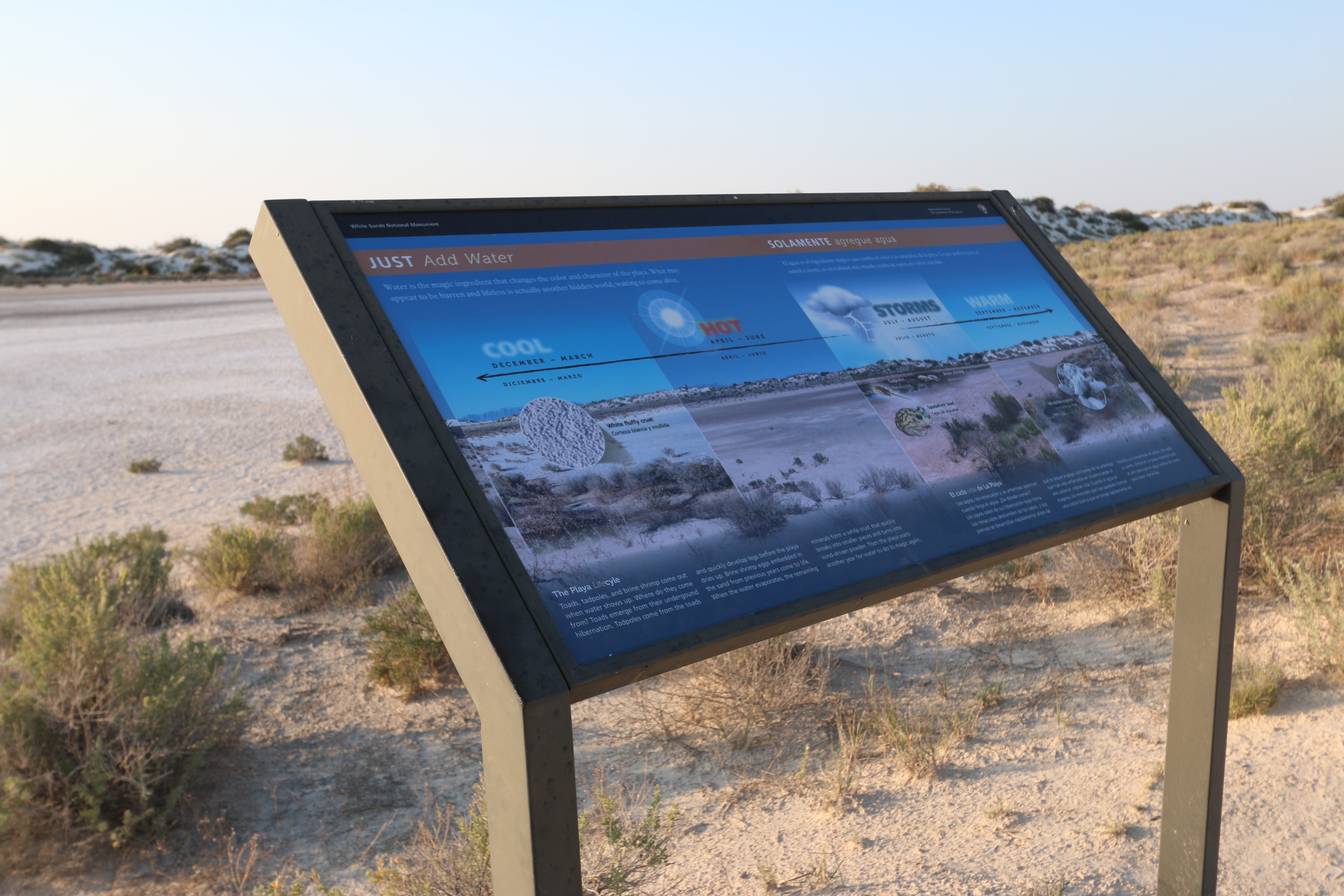
"Just Add Water" Interpretive Sign
~0 min drive
<p>This interpretive sign on the Playa Trail showcases how water and the changing seasons create a hidden world that is waiting to come to life.</p>
Lower San Andres
~30 min drive
Moderate desert trail in the San Andres Mountains with 868 ft elevation gain.
Upper Dry Cyn Alt
~37 min drive
Short canyon trail with steady elevation gain and scenic desert views.
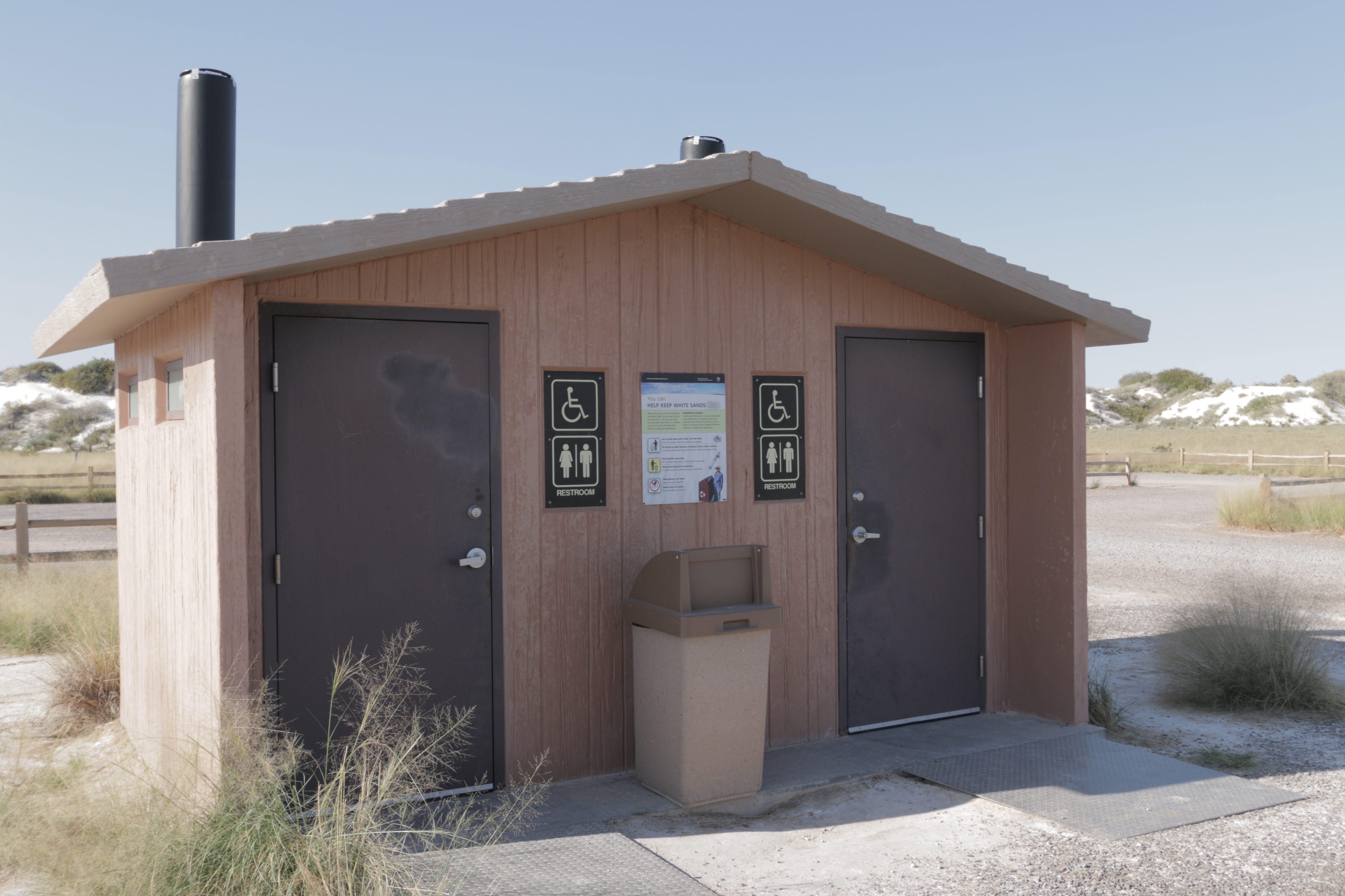
Dune Life Nature Trail Restroom
~0 min drive
<p>The Dune Life Nature Trail restroom has two separate wheelchair-accessible vault toilets with no running water, a trash bin, and is adjacent to a parking area with plenty of space to park automobiles and RVs. There are accessible parking spaces directly in front of the rest…
Mineral Springs
~34 min drive
Moderate 4.2-mile trail to mineral springs with 1,091 ft elevation gain.
Sunspot
~40 min drive
Easy 2.8-mile forest hike with gentle elevation gain near Sunspot.
Also worth it near here