Loading trail…

Free — you'll pick up right here.
Watch this trail
Sign up to watch it — saving subscribes you to gate, closure and report changes.
New Mexico
1.8 mi
Distance
249 ft
Gain
No agency boundary, access route or field report is mapped to it — so there is no verdict, and we won't guess. We'll tell you the moment this trail has something to say.
Covered nearby
Trails within 25 miles where we do have a current picture.
Nobody's filed a report here yet — be the first.
Why you'll love it
Fireline Trail
AI-suggested draft · review before you go
No permit or access details on file for this trail — check with the local land manager before you go.
Fireline Trail is a short, accessible hiking route in New Mexico that offers a quick escape into the backcountry with modest elevation gain. This trail follows a historic fire management corridor, providing straightforward hiking through typical New Mexico terrain. Perfect for hikers seeking a brief outing or those looking to warm up before tackling longer routes.
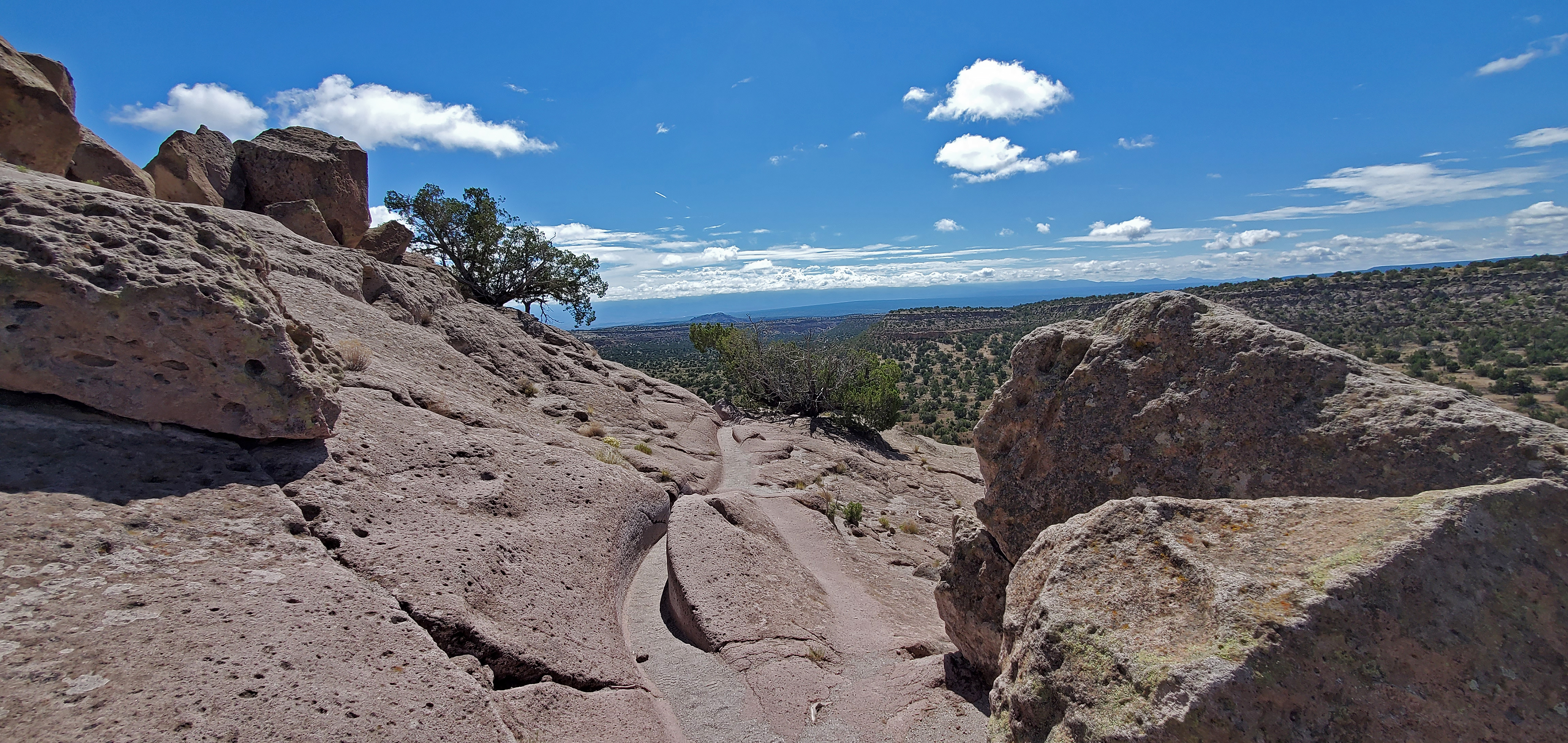
Intro Tsankawi Guided Hike Stop 0
~4 min drive
Tsankawi is part of the ancestral lands of the modern pueblo of San Ildefonso. Using the soft volcanic rock to construct houses and the flat open lands between mesas for farming, Ancestral Pueblo people called this place home in the 1400’s and 1500’s. Life was not easy on th…
Pajarito
~4 min drive
Moderate 8-mile foothills trail with 1,300 ft gain near Pajarito, NM.
Cabra Loop
~5 min drive
Moderate 6-mile loop with 843 ft gain and scenic New Mexico vistas.
Rendija
~6 min drive
Easy 2.56-mile walk with minimal elevation gain near Rendija.
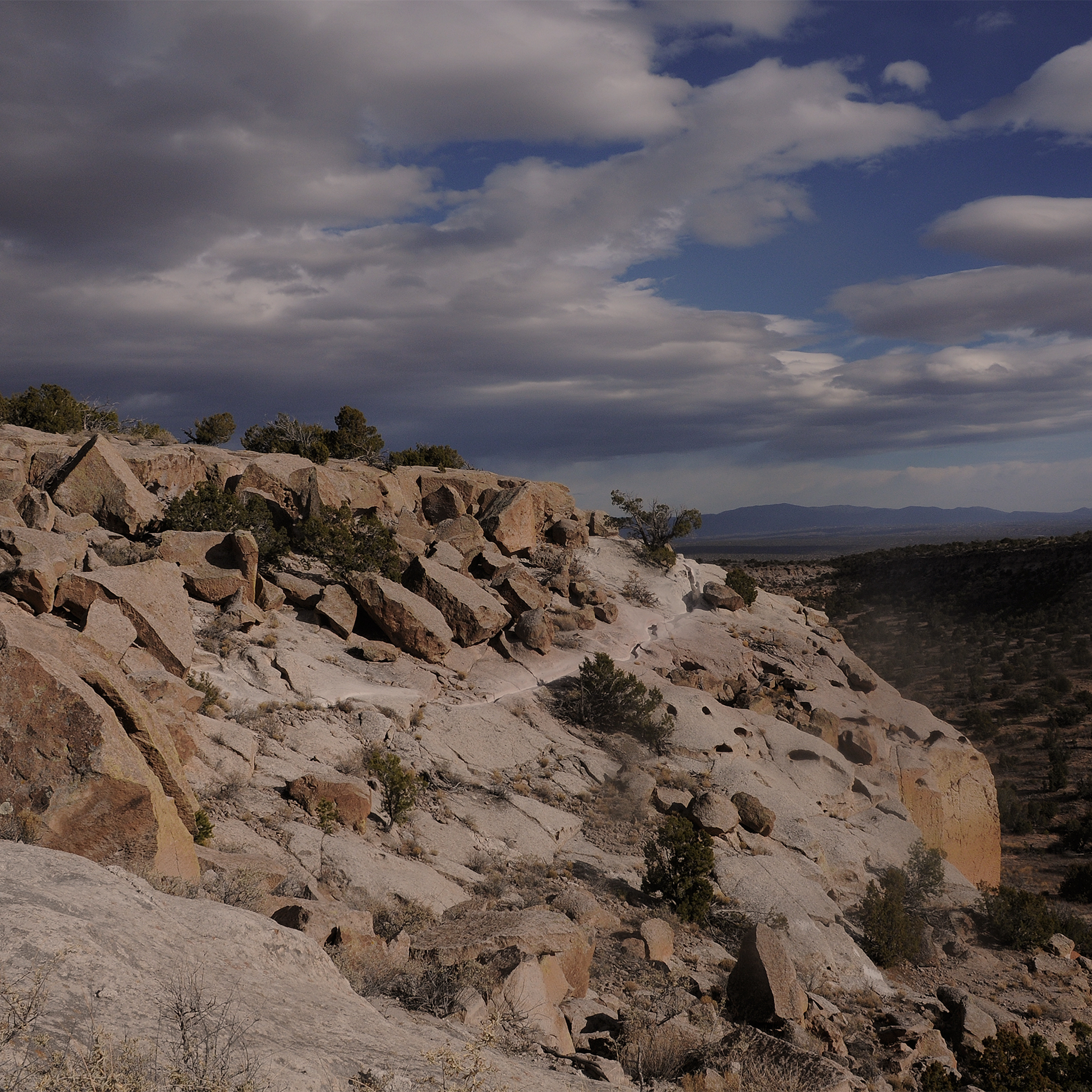
More Than History Tsankawi Guided Hike Stop 1
~4 min drive
No Pueblo people live at Tsankawi today. However, this place still contains tangible and intangible connections with the past for the descendants of the people who once occupied these canyons and mesas. A petroglyph (image etched into rock) carved into the soft stone walls o…
Neblina's
~6 min drive
Short, easy hike with minimal elevation gain near Neblina's.
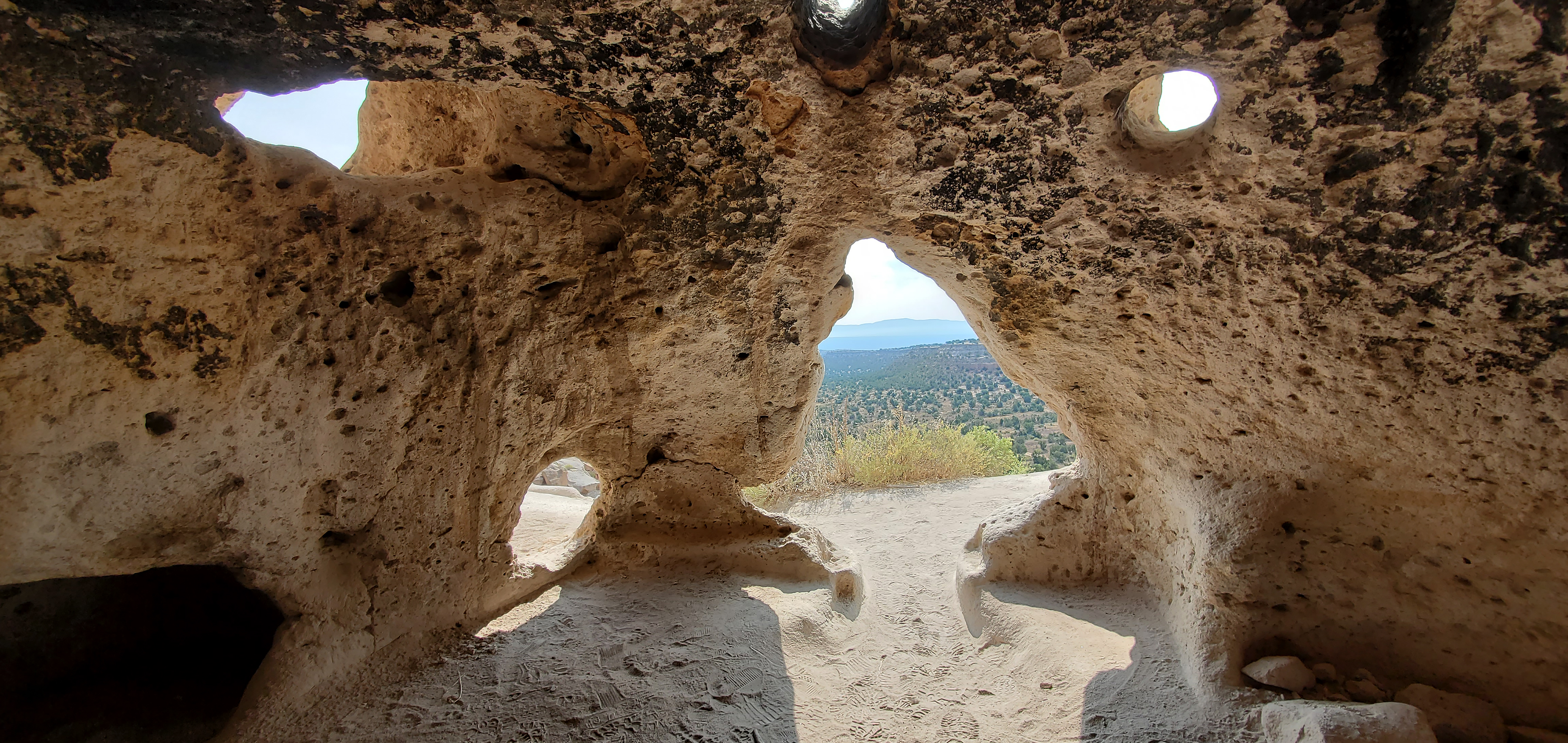
Carved Trail Tsankawi Guided Hike Stop 16
~4 min drive
From this point forward, you will be walking in a trail carved into the volcanic tuff. The rock is very soft and malleable. It is very important to stay on the trail. In just a very short time, our shoes can do more damage than many years of erosion. Thank you for helping…
Otowi Mesa Trail
~0 min drive
Quick mesa-top hike with valley views near Española.
Kwage Mesa Utility Road
~0 min drive
Easy utility road walk across Kwage Mesa with minimal elevation gain.
Pueblo Canyon Road
~1 min drive
Easy 0.34-mile canyon road walk with minimal elevation gain.
Also worth it near here