Loading trail…

Free — you'll pick up right here.
Watch this trail
Sign up to watch it — saving subscribes you to gate, closure and report changes.
New Mexico
3.0 mi
Distance
590 ft
Gain
We won't guess. Here is exactly what we do and don't know.
What we do know
Inside Santa Fe National Forest
2 managing-area boundaries mapped — agency alerts for them feed this page automatically.
Boundary data
What's missing
No access route mapped
We don't yet know which road reaches this trailhead, so we can't tell you if it's gated.
Nobody's filed a report here yet — be the first.
Why you'll love it
Chama Canyon Road
AI-suggested draft · review before you go
No permit or access details on file for this trail — check with the local land manager before you go.
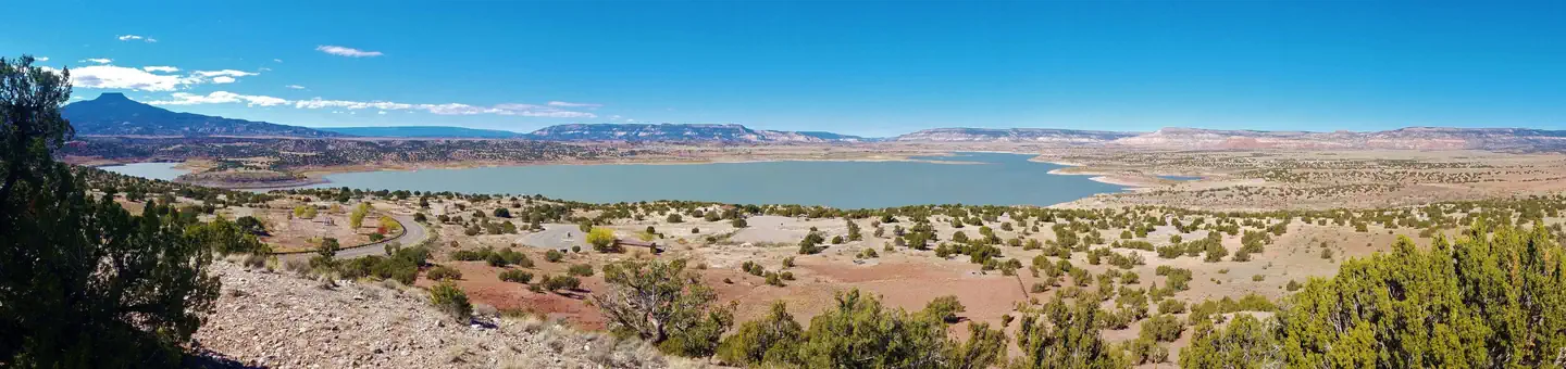
Chama Canyon Road is a scenic 2.95-mile trail that winds through the picturesque Chama Canyon region of northern New Mexico. This accessible route offers steady elevation gain with views of the canyon's geological formations and riparian landscape. Ideal for hikers seeking a moderate workout with cultural and natural history elements.
Cdt - New Mexico Section
~0 min drive
Brief CDT segment in New Mexico with easy access to iconic trail.
Potrero
~6 min drive
Moderate 8.8-mile plateau hike with gentle elevation gain and high desert views.
Rim Vista
~10 min drive
Moderate rim trail with steady climbing and expansive high-country views.
Coyote Admin
~18 min drive
Easy 1.11-mile loop with minimal elevation gain near Coyote.
Skull Bridge(elizabeth's) Road
~0 min drive
Easy quarter-mile walk on Skull Bridge Road in New Mexico.
Maestas
~17 min drive
Moderate 7.5-mile forest hike with steady elevation gain near Maestas.
Questa Navajo
~12 min drive
Scenic 4.4-mile foothills hike near Questa with moderate elevation gain.
Nogales
~25 min drive
Short desert hike near Nogales with gentle elevation gain.
Cdt
~2 min drive
Moderate CDT section with substantial elevation gain and alpine scenery.
Piedra Lumbre
~22 min drive
Moderate 7.21-mile hike with 1,069 ft gain through northern New Mexico high country.