Loading trail…

Cerro La Jara Stop 1
Free — you'll pick up right here.
Watch this trail
Sign up to watch it — saving subscribes you to gate, closure and report changes.
New Mexico
We won't guess. Here is exactly what we do and don't know.
What we do know
Inside Valles Caldera National Preserve
National Park unit boundary is mapped — agency alerts for it feed this page automatically.
Boundary data
What's missing
No access route mapped
We don't yet know which road reaches this trailhead, so we can't tell you if it's gated.
Nobody's filed a report here yet — be the first.
Cerro La Jara Stop 1
AI-suggested draft · review before you go
No elevation data on file for this trail.
No permit or access details on file for this trail — check with the local land manager before you go.
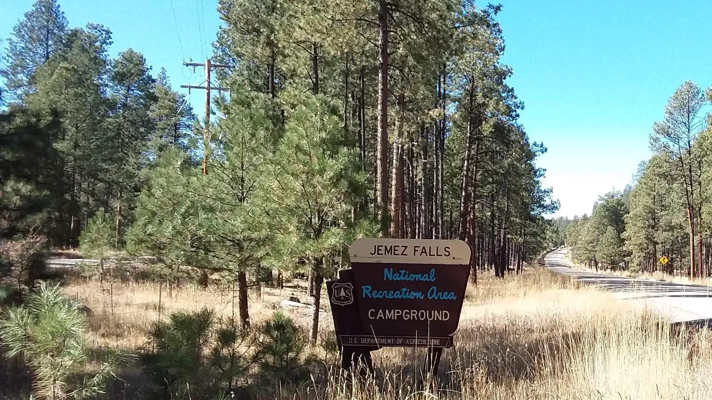
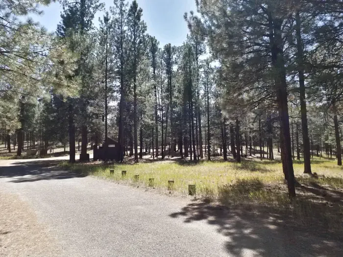
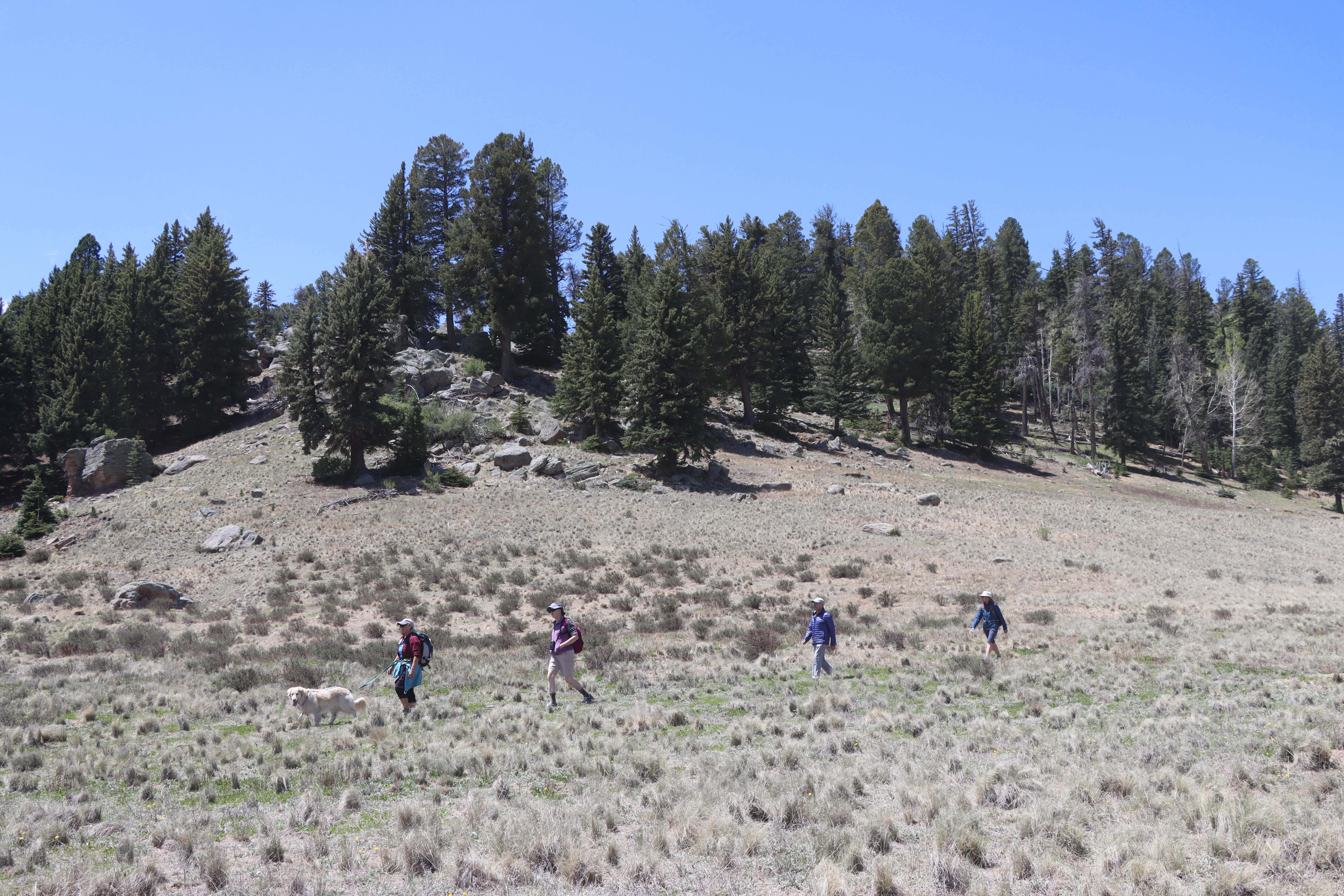
<p>Welcome to the Cerro La Jara Trail in Valles Caldera National Preserve. This trail is about 1.5 miles (2.4 km) long and will likely take 1 to 2 hours to complete. The elevation change is small – about 50 feet. Leashed pets are permitted on this trail, but please ensure that your pet maintains a safe distance from wildlife as you hike. Take some drinking water with you and as always, be aware of your surroundings and the weather.<br /> <br /> This tour will focus on the geology you see, and help you imagine some you can’t see. If you are hiking this trail in the winter, some of the rocks might not be visible due to snow cover.<br /> <br /> From the northern edge of the Entrance Station parking lot (near the solar panels), find the brown trail post and follow the trail across the road. When you reach the trail intersection on the opposite side of the road, turn left and continue to Stop 2. As you walk, look around at the rocks and landforms. What do you see?<br /> <br /> <meta charset="utf-8" /><br /> <em><b id="docs-internal-guid-e51536c1-7fff-c656-458a-1e6d71a2aa52">Bienvenido al sendero Cerro La Jara en la Reserva Nacional Valles Caldera. Este sendero tiene una longitud aproximada de 2.4 km y se tarda entre 1 y 2 horas en completarlo. El desnivel es pequeño, de unos 15 metros. Se admiten mascotas con correa en este sendero, pero asegúrese de que su mascota mantenga una distancia segura con la fauna silvestre mientras camina. Lleve agua potable y, como siempre, esté atento a su entorno y al clima. <br /> <br /> Esta excursión se centrará en la geología que se puede ver y le ayudará a imaginar lo que no se puede ver. Si recorre este sendero en invierno, es posible que algunas de las rocas no sean visibles debido a la capa de nieve.<br /> <br /> Desde el extremo norte del estacionamiento de la estación de entrada (cerca de los paneles solares), busque el poste marrón que indica el sendero y siga el camino que cruza la carretera. </b></em></p> <p><em><b id="docs-internal-guid-e51536c1-7fff-c656-458a-1e6d71a2aa52">Cuando llegue al cruce del sendero al otro lado de la carretera, gire a la izquierda y continúe hasta la parada 2. Mientras camina, observe y la geográfia. ¿Qué ve?</b></em></p>
Birding By Car Stop 4
~0 min drive
At the entrance station, we are surrounded by montane grasslands. Across the road is a small, forested lava dome called Cerro La Jara. If you're looking for a short hike with lots of wildlife watching opportunities, there's a wonderful 1.4-mile loop trail around the lava dome.…
North East Fork
~5 min drive
Easy 1.14-mile walk with minimal elevation gain near North East Fork.
Alamo Spring
~7 min drive
Moderate 10.51-mile high desert trail to Alamo Spring with gentle elevation gain.
Cerro Pelado
~11 min drive
Moderate 3.79-mile summit hike with 780 ft gain and scenic ridgeline views.
Cerro La Jara Stop 2
~0 min drive
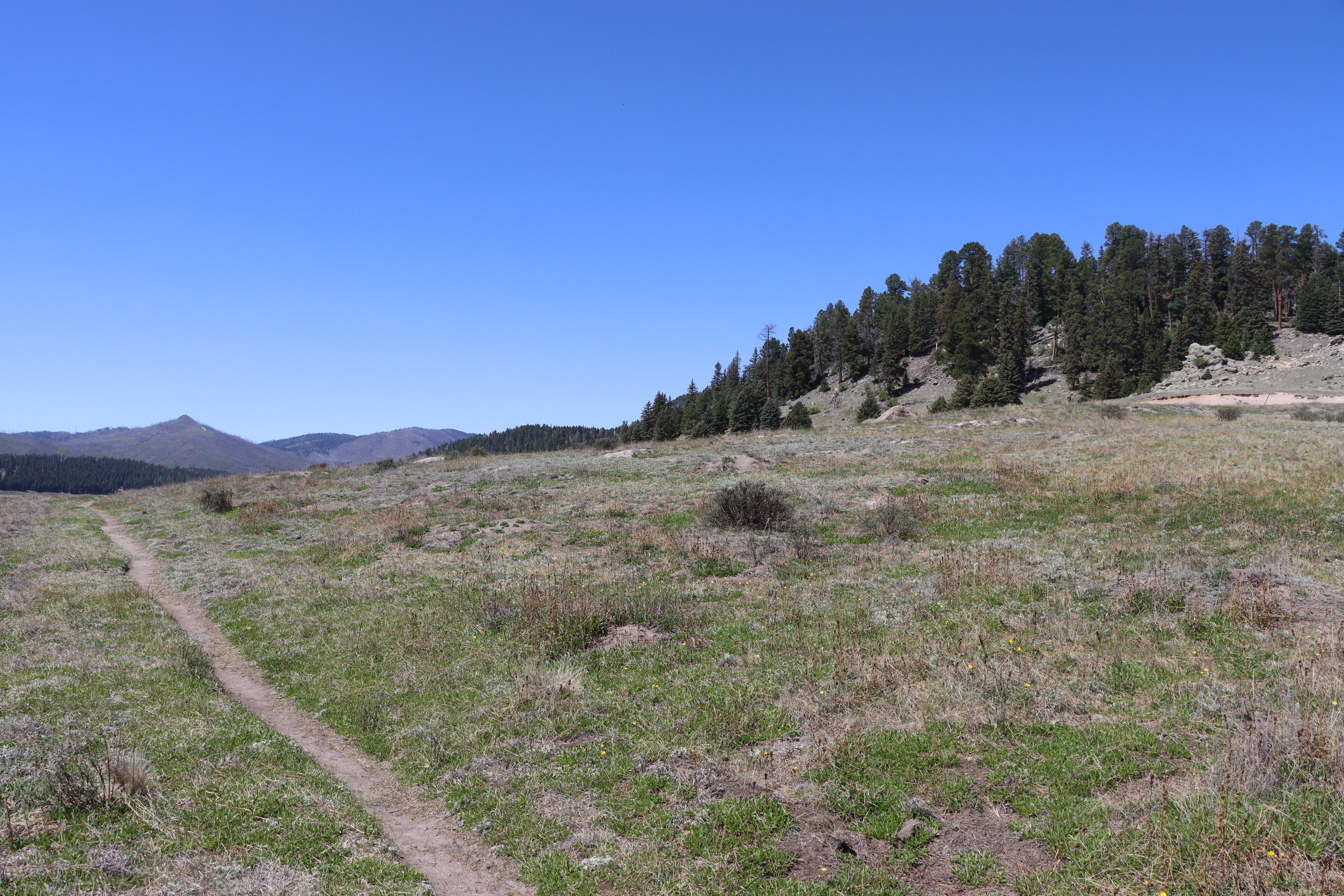
<p>As you walked, you probably noticed that you are walking in a large valley and there are rounded hills or mountains in the distance, behind you, and to your right. You are walking in a volcanic caldera – a depression formed during a volcanic eruption. This caldera was forme…
Bearhead Ridge
~10 min drive
Moderate 7-mile ridgeline hike with 1,342 ft elevation gain and panoramic views.
Pajarito Nordic
~11 min drive
Accessible high-altitude loop through Pajarito Plateau forests and meadows.
Cerro La Jara Stop 8
~0 min drive
Did you notice that prairie dogs make this area their home? They like to make chirping noises to warn each other of people in the area, so they are difficult to miss! What they are also doing is trying to make future trace fossils. A trace fossil is a record of life that isn’t…
Peralta Canyon
~10 min drive
Moderate 10.5-mile canyon hike with 1,710 ft elevation gain in the Sandias.
Water Canyon
~13 min drive
Moderate canyon hike with steady elevation gain and scenic desert views.