Loading trail…

Free — you'll pick up right here.
Watch this trail
Sign up to watch it — saving subscribes you to gate, closure and report changes.
New Mexico
0.3 mi
Distance
132 ft
Gain
We won't guess. Here is exactly what we do and don't know.
What we do know
Inside Carson National Forest
2 managing-area boundaries mapped — agency alerts for them feed this page automatically.
Boundary data
What's missing
No access route mapped
We don't yet know which road reaches this trailhead, so we can't tell you if it's gated.
Nobody's filed a report here yet — be the first.
Why you'll love it
Cdt
AI-suggested draft · review before you go
No permit or access details on file for this trail — check with the local land manager before you go.
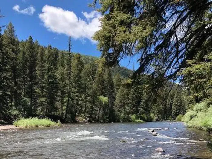
The CDT (Continental Divide Trail) segment in New Mexico offers a short but scenic introduction to this iconic long-distance route. This brief 0.32-mile section showcases the high desert landscape characteristic of New Mexico's continental divide, with modest elevation gain making it accessible for most hikers.
Hopewell Lake Campground Road
~0 min drive
Easy campground access road walk near Hopewell Lake.
Hidden Lake
~19 min drive
Easy 2.43-mile hike to a scenic mountain lake with 355 ft elevation gain.
Tusas Loop
~21 min drive
Remote 24-mile high-elevation loop in the Tusas Mountains with 1,270 ft gain.
Red Lake Cut-Off
~48 min drive
5.2 mi · Moderate
Cdt
~0 min drive
Challenging CDT section with high elevation gain and remote wilderness views.
Vega Paz
~24 min drive
Easy 1.26-mile walk with minimal elevation gain near Vega Paz.
Yeso
~41 min drive
12.29-mile moderate hike through New Mexico's Yeso region with gentle elevation gain.
Spring Creek Road
~0 min drive
Quick, easy walk on Spring Creek Road with minimal elevation change.
Chama River
~49 min drive
9.8 mi · Hard
Us 64
~0 min drive
Quick, easy sub-mile walk along US 64 corridor.