
Turquoise Trail Campground
Hiking business nearby (~43 mi away) — hasn't claimed their Roamze page yet
Free — you'll pick up right here.
Watch this trail
Sign up to watch it — saving subscribes you to gate, closure and report changes.
New Mexico
3.1 mi
Distance
480 ft
Gain
We won't guess. Here is exactly what we do and don't know.
What we do know
Inside Santa Fe National Forest
2 managing-area boundaries mapped — agency alerts for them feed this page automatically.
Boundary data
What's missing
No access route mapped
We don't yet know which road reaches this trailhead, so we can't tell you if it's gated.
Nobody's filed a report here yet — be the first.
Why you'll love it
Capulin
AI-suggested draft · review before you go
No permit or access details on file for this trail — check with the local land manager before you go.
The Capulin trail offers a scenic 3.11-mile round-trip hike with 480 feet of elevation gain, making it an accessible option for hikers of varying abilities. Located near the town of Capulin in northeastern New Mexico, this trail provides views of the surrounding high plains and volcanic landscape characteristic of the region. The moderate terrain and manageable distance make it ideal for families and those seeking a quick outdoor excursion.
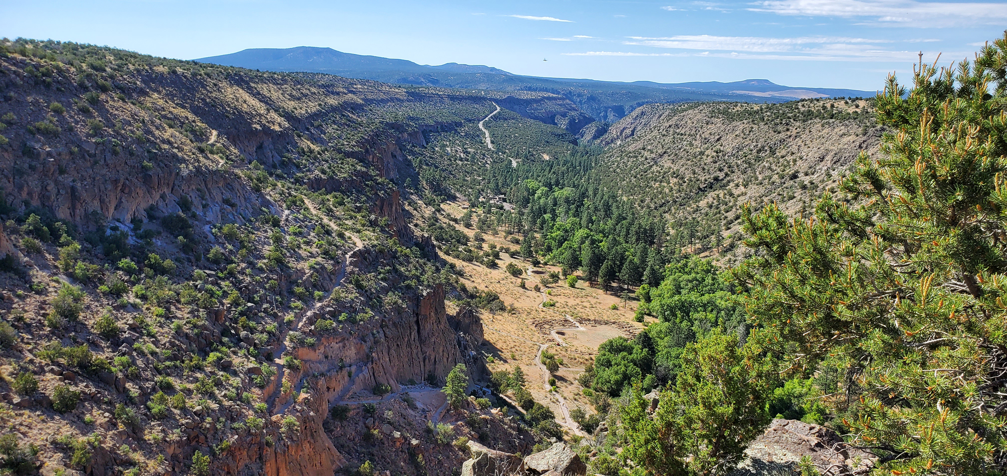
Welcome Tyuonyi Overlook Trail Stop 1
~9 min drive
Welcome to the Tyuonyi (QU-weh-nee) Overlook Trail, which is partially a loop and partly an out-and-back, 2.2 miles roundtrip. You are approximately 0.25 miles down this trail that passes through the Piñon-Juniper Woodland and provides excellent views of Frijoles Canyon, the P…
Boundary Peak
~0 min drive
Quick alpine walk with minimal elevation gain near Boundary Peak.
Turkey Spring
~5 min drive
Accessible 3.35-mile loop to Turkey Spring with 572 ft elevation gain.
St. Peter's Dome
~7 min drive
Challenging 10.72-mile mountain hike with 2,618 ft gain and alpine summit views.
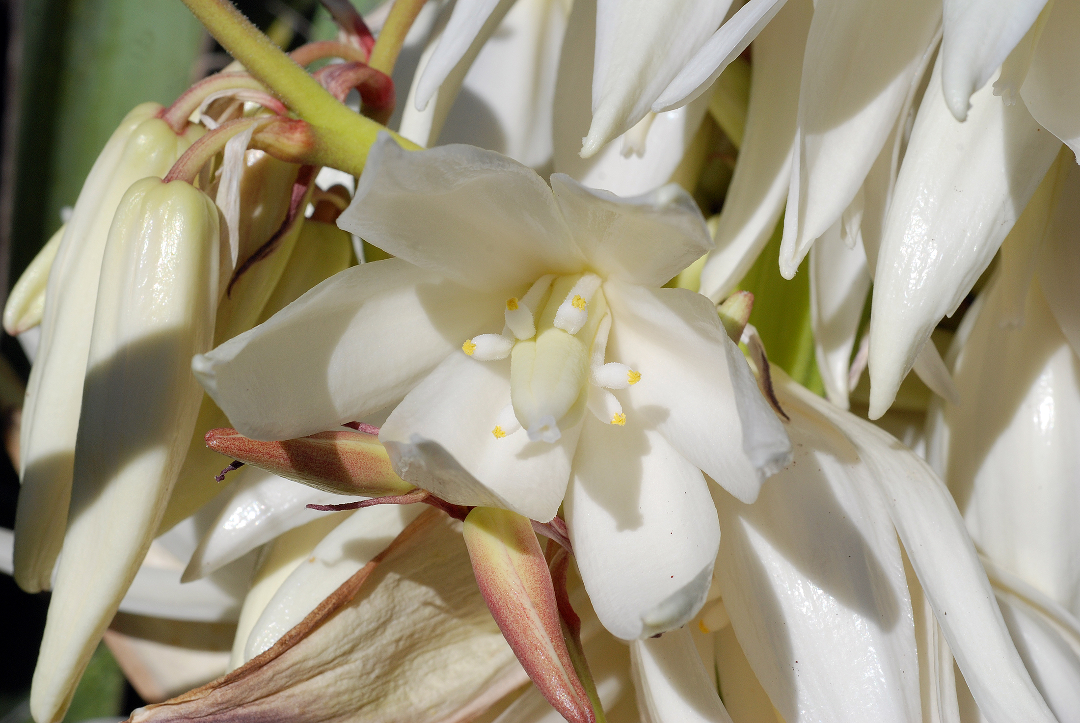
Native Plants Tyuonyi Overlook Trail Stop 3
~9 min drive
The Ancestral Pueblo people had an agricultural-based society and relied heavily on the crops they could produce, storing as much as possible in times of plenty for the years when a dry season produced scarcer harvests. During those times, knowledge of native plants was essent…
Water Canyon
~8 min drive
Moderate canyon hike with steady elevation gain and scenic desert views.
Medio Dia
~8 min drive
Moderate 8.42-mile trail with 471 ft elevation gain near Medio Dia.
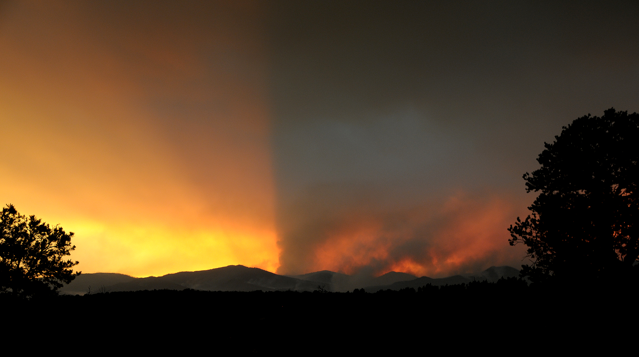
Fire Tyuonyi Overlook Trail Stop 4
~9 min drive
Fire has always been a part of life in the Bandelier area and fires likely burned this area many times while the Ancestral Pueblo people lived here. From studying tree rings scientists know that the natural fire cycle here was a low intensity fire every fifteen years or so. In…
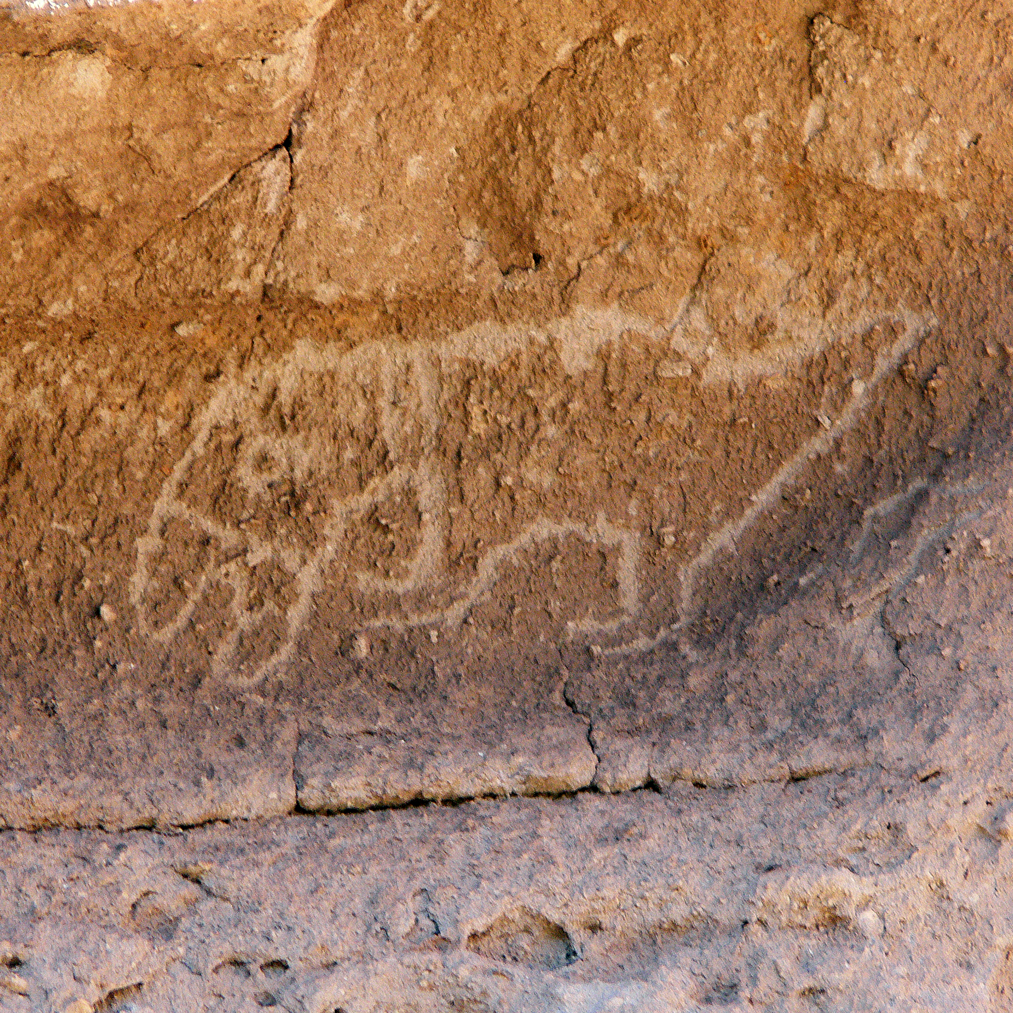
Petroglyphs Pueblo Loop Trail Stop 21
~9 min drive
Petroglyphs (carved drawings) are far more common than pictographs (painted drawings) at Bandelier. Do you see the carving of a macaw under the overhang? How about the one of an elk to the left of the macaw?<br /> <br /> The people of Frijoles Canyon lived, worked, laughed, an…
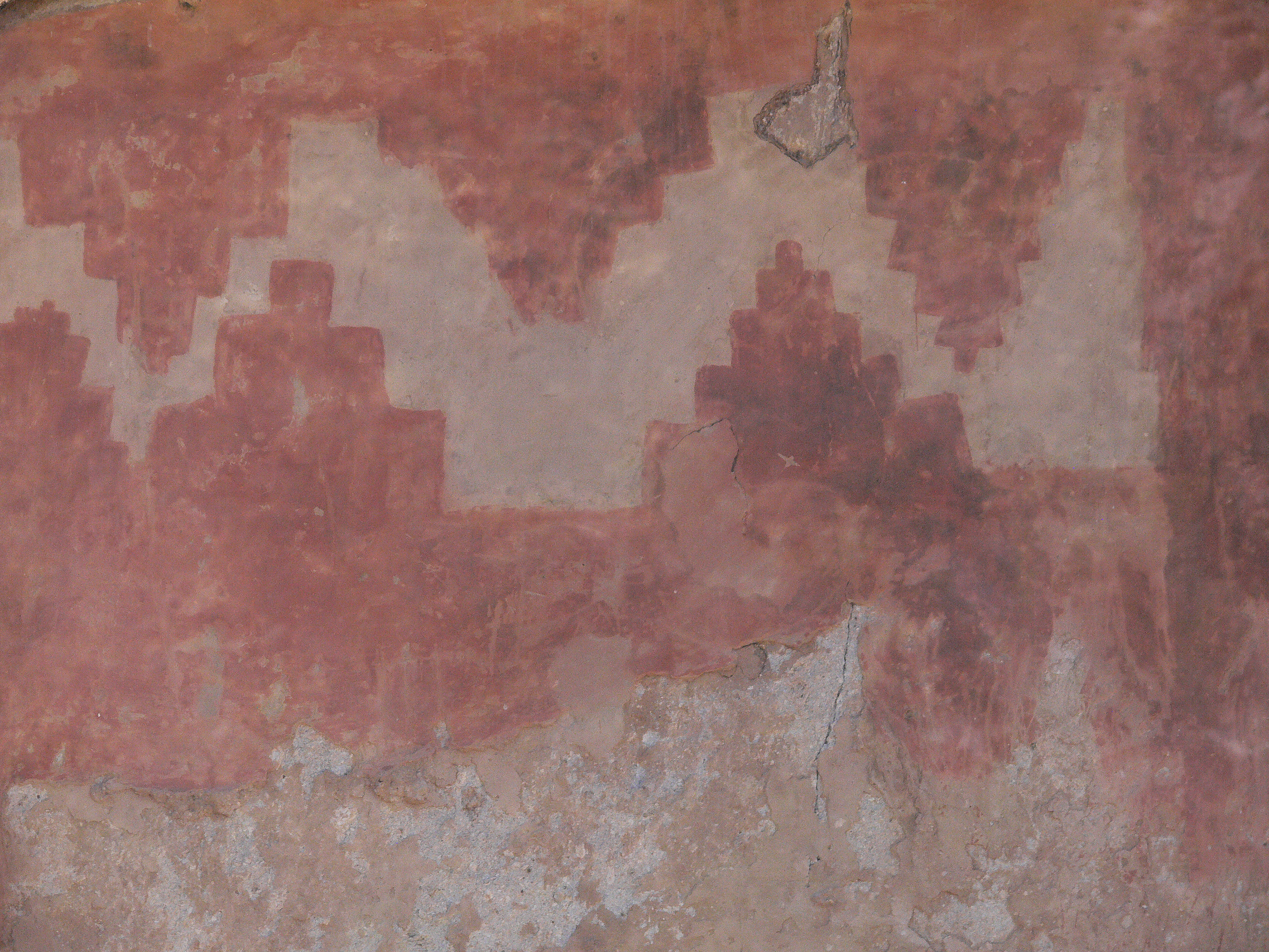
Rock Drawings Pueblo Loop Trail Stop 20
~9 min drive
Also look for numerous petroglyphs (carved rock drawings) as you stroll past Long House. There are hundreds of them in this location. There is also a pictograph (painted drawing) under glass. Once upon a time this pictograph was covered with plaster. It was uncovered during ea…
Also worth it near here
Local operatorsoffering guided trips. You book directly with them — Roamze doesn’t take a cut.
Turquoise Trail Campground
Hiking business nearby (~43 mi away) — hasn't claimed their Roamze page yet