Loading trail…

Alkali Flat Trail
Free — you'll pick up right here.
Watch this trail
Sign up to watch it — saving subscribes you to gate, closure and report changes.
New Mexico
Weather is good
1 factor · 1 source
Observed 18 h ago
clear: Weather
Clear, high 92°F / low 77°F, 0% precip — 87/100 for hike
OpenWeather18 h ago
Been out here in the last few days? One report keeps this current for everyone.
Alkali Flat Trail
AI-suggested draft · review before you go
No elevation data on file for this trail.
No permit or access details on file for this trail — check with the local land manager before you go.
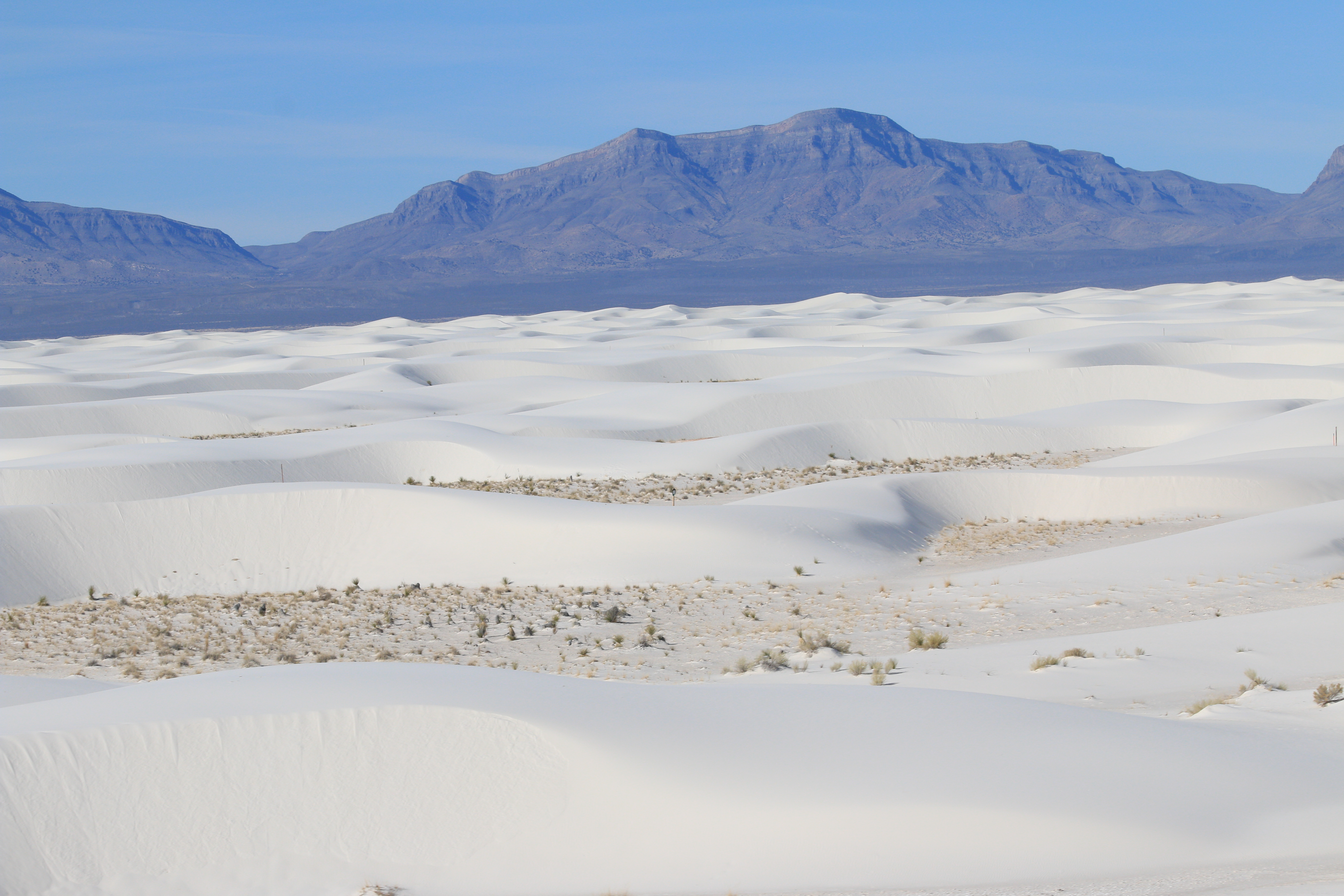
<p>Red trail markers with a diamond symbol guide hikers along this strenuous, 5-mile (8 km) roundtrip hike. The Alkali Flat Trail skirts the edge of what is now the final remnant of Lake Otero. <strong>This trail is not flat!</strong> You will be hiking up and down dunes the entire way. Go only if you are prepared. There is no shade, no water, and no toilet facility along this trail. The average completion time is three hours.<br /> <br /> <strong>Length:</strong> 5 miles (8 km), round-trip<br /> <strong>Trail Marker Color:</strong> Red<br /> <span style="display: none;"> </span><strong>Trail Marker Symbol:</strong> Diamond<br /> <span style="display: none;"> </span><strong>Average Completion Time:</strong> 3 hours<br /> <strong>Difficulty:</strong> Strenuous<br /> <span style="display: none;"> </span><strong>Distance from Visitor Center:</strong> 7 miles (11.2 km)<br /> <strong>Restroom:</strong> Two vault toilets at the trailhead<br /> <br /> Before setting out on foot at White Sands National Park, please view our <a href="https://www.nps.gov/whsa/planyourvisit/hiking-safety-tips.htm">Hiking Safety Tips</a>.</p>
Backcountry Camping Loop Trail
~2 min drive
<p>The Backcountry Camping Loop Trail is a moderate, 2-mile (3.5 km) roundtrip hike. Though backpackers hike the trail most frequently, it is also open to visitors who want a shorter hike through the heart of the dunes. Follow the orange trail markers with a spade symbol into…
Mule Cyn
~34 min drive
Moderate canyon hike with steady elevation gain and scenic desert views.
Goat Springs
~36 min drive
Steady 2.94-mile climb to Goat Springs with 1,584 ft elevation gain.
Dry Canyon
~42 min drive
Moderate 11.2-mile canyon hike with 1,894 ft elevation gain through high desert terrain.
First Stop of Backcountry Camping Loop Trail Tour
~2 min drive
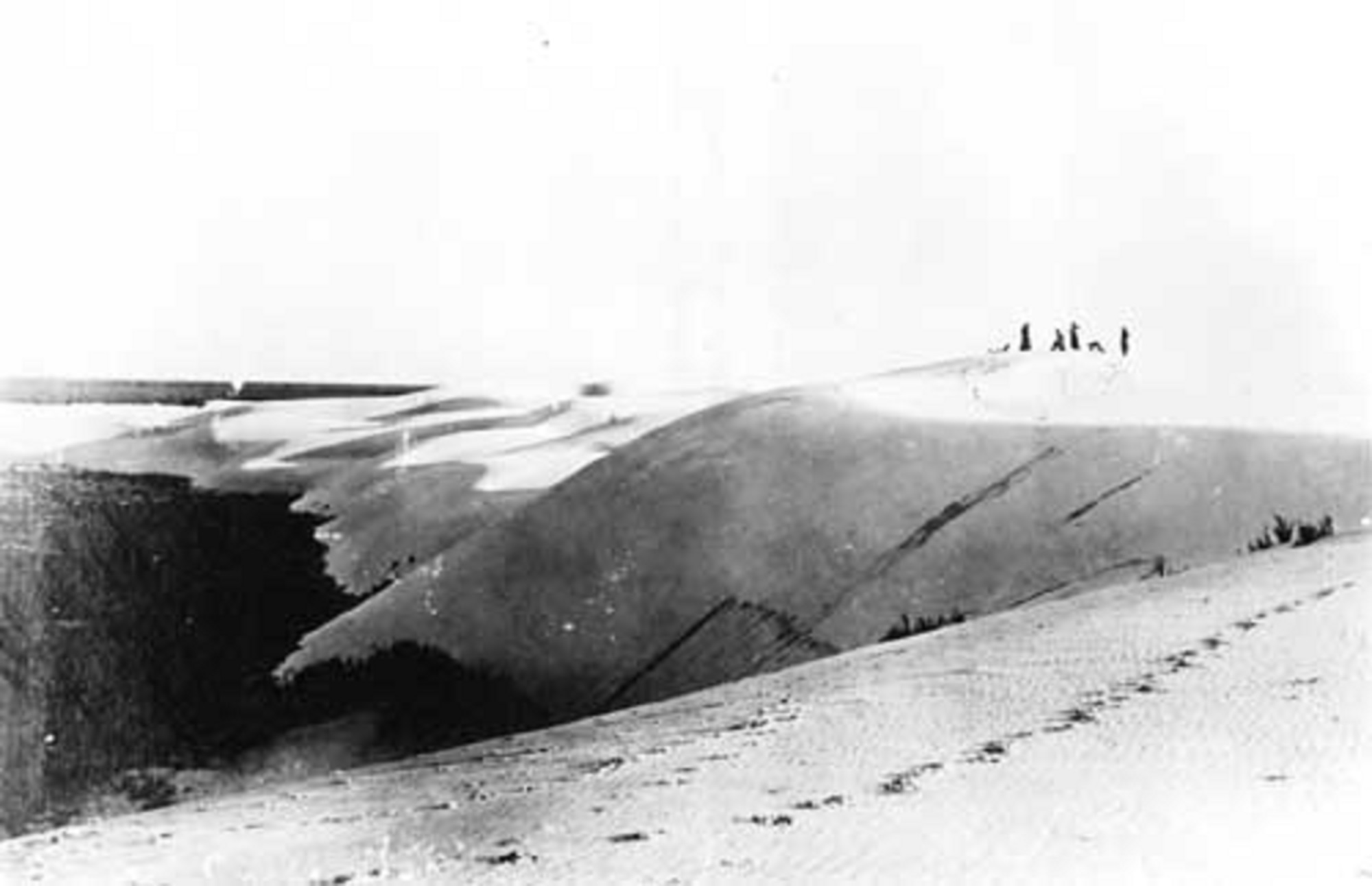
<p>Welcome to White Sands National Park’s digital self-guided tour! If you see the Backcountry Camping Loop Trailhead in front of you, you’re in the right place.<br /> <br /> White Sands is far more than just a sandbox. Over time, this land has been home to countless creatures…
Lower San Andres
~36 min drive
Moderate desert trail in the San Andres Mountains with 868 ft elevation gain.
Upper Dry Cyn Alt
~43 min drive
Short canyon trail with steady elevation gain and scenic desert views.
Backcountry Camping Loop Trail Restroom
~2 min drive
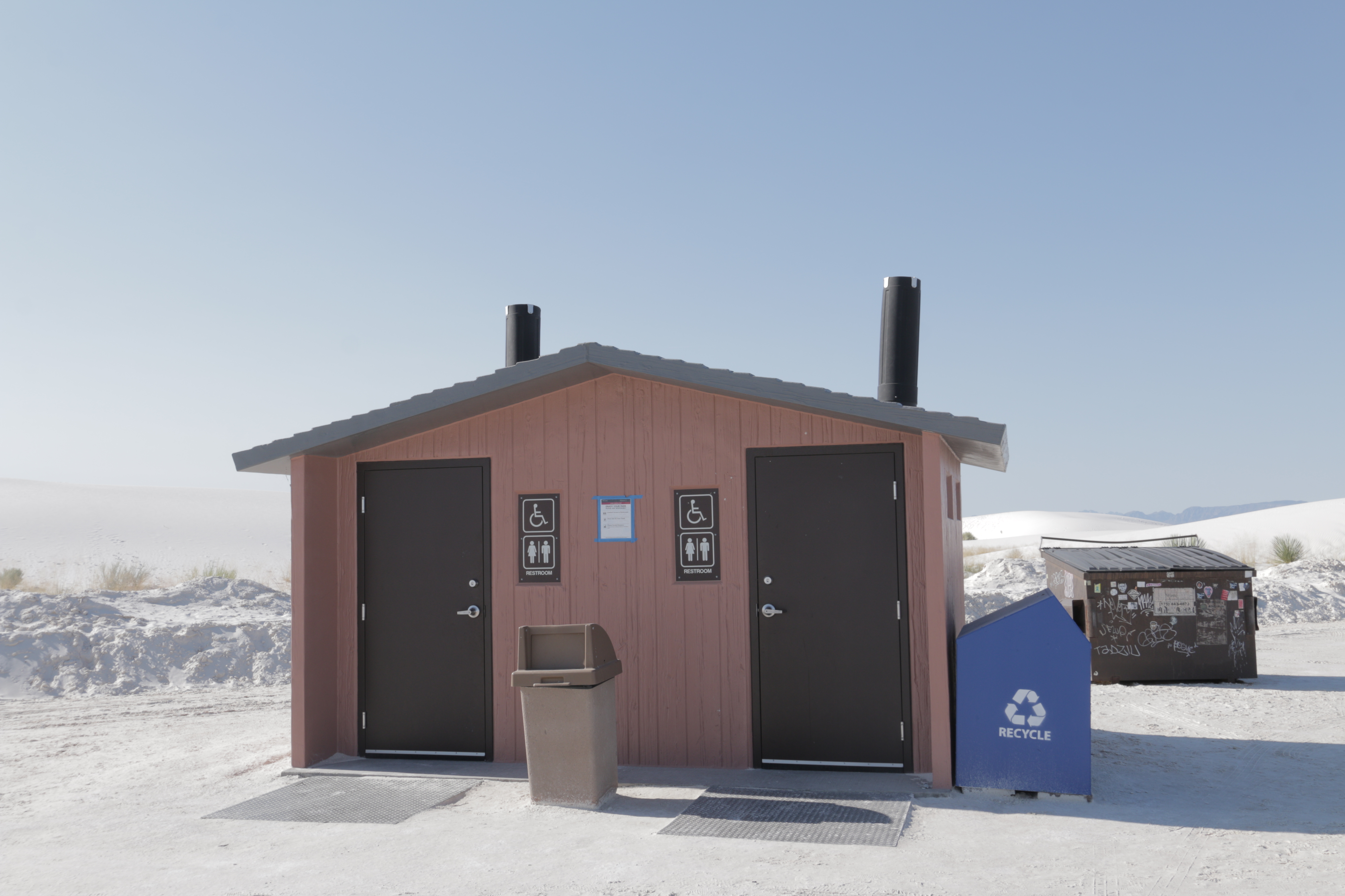
<p>The Backcountry Camping Loop Trail restroom has two separate wheelchair-accessible vault toilets with no running water, a dumpster, and trash and recycling bins. It is within a parking area with plenty of space to park automobiles and RVs, and there are accessible parking s…
Mineral Springs
~39 min drive
Moderate 4.2-mile trail to mineral springs with 1,091 ft elevation gain.
Sunspot
~46 min drive
Easy 2.8-mile forest hike with gentle elevation gain near Sunspot.
Also worth it near here