Loading trail…

Free — you'll pick up right here.
Watch this trail
Sign up to watch it — saving subscribes you to gate, closure and report changes.
New Hampshire
8.1 mi
Distance
4,295 ft
Gain
4h 48m
Time
We won't guess. Here is exactly what we do and don't know.
What we do know
Inside Androscoggin Ranger District
Ranger District boundary is mapped — agency alerts for it feed this page automatically.
Boundary data
What's missing
No access route mapped
We don't yet know which road reaches this trailhead, so we can't tell you if it's gated.
Nobody's filed a report here yet — be the first.
Why you'll love it
Lowes Path
AI-suggested draft · review before you go
No permit or access details on file for this trail — check with the local land manager before you go.
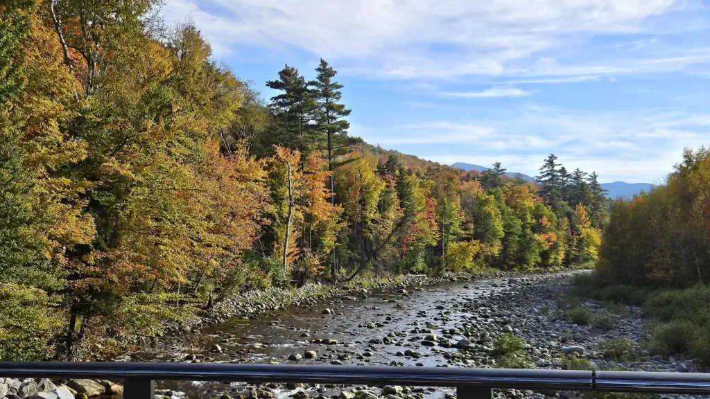
Lowes Path is an out-and-back trail in New Hampshire offering a moderate 8-mile hiking experience through varied terrain. This trail provides a solid day hike with consistent elevation gain, rewarding hikers with forest scenery and a sense of accomplishment on the return journey.
Cliffway
~1 min drive
Scenic 4.2-mile out-and-back with cliff views and steady elevation gain.
Castle
~2 min drive
Moderate 8.84-mile out-and-back hike with scenic views and forest terrain.
Crescent Ridge Trail
~3 min drive
Scenic 2.76-mile point-to-point ridge hike in New Hampshire.
Beechwood Way
~3 min drive
Easy 1.6-mile out-and-back woodland walk through beech forest.
Emerald Trail
~5 min drive
Quick point-to-point woodland walk in New Hampshire.
King Ravine
~2 min drive
Steep out-and-back ascent through an alpine ravine with scrambling and exposure.
Link
~2 min drive
11.2-mile out-and-back New Hampshire trail for experienced day hikers.
Carlton Notch Trail
~5 min drive
Short point-to-point notch crossing in the White Mountains.
Cabin-Cascades
~3 min drive
Easy out-and-back walk to cascading waterfalls in New Hampshire.
Monaway
~2 min drive
A short point-to-point walk in Monaway, New Hampshire.