Loading trail…

Free — you'll pick up right here.
Watch this trail
Sign up to watch it — saving subscribes you to gate, closure and report changes.
Nevada
2.9 mi
Distance
175 ft
Gain
1h 4m
Time
No agency boundary, access route or field report is mapped to it — so there is no verdict, and we won't guess. We'll tell you the moment this trail has something to say.
Covered nearby
Trails within 25 miles where we do have a current picture.
Nobody's filed a report here yet — be the first.
Why you'll love it
Upper High Rock Canyon Trail
AI-suggested draft · review before you go
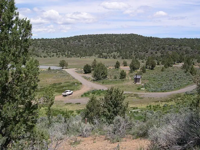
The Upper High Rock Canyon Trail offers a scenic short hike through Nevada's high desert landscape with modest elevation gain, making it accessible for most skill levels. This trail winds through the canyon terrain characteristic of the region, providing views of geological formations and native vegetation. The relatively low mileage and gentle grade make it an ideal choice for a quick outdoor excursion or family outing.
North Emerson Trail
~1h 3m drive
Moderate 8.72-mile mountain hike with 2,884 ft elevation gain.
South Emerson Trail
~1h 5m drive
Steady 3-mile climb with 784 ft gain through scenic California foothills.
Tom Smith Cabin Trail
~1h 5m drive
Easy 1.66-mile walk to a historic cabin with minimal elevation gain.
Owl Creek Trail
~1h 5m drive
Challenging 29.84-mile backcountry trek with 3,213 ft elevation gain.
Upper Cottonwood Trail
~1h 5m drive
Moderate 5.2-mile alpine climb with 1,836 ft elevation gain.
Cedar Creek Trail
~1h 5m drive
Easy 2-mile creek-side hike with gentle elevation gain.
Summit Trail
~1h 7m drive
Quick summit push with 221 ft gain over 0.52 miles.
Mill Creek North
~1h 10m drive
Moderate 5.4-mile creek-side climb with 2,000 ft elevation gain.
Pine Forest Blue Lakes Trail
~1h 13m drive
Easy 1.32-mile hike to alpine lakes in the Pine Forest Range.
Mill Creek South
~1h 11m drive
Moderate 8-mile hike with 969 ft gain through Mill Creek area.