Loading trail…

Free — you'll pick up right here.
Watch this trail
Sign up to watch it — saving subscribes you to gate, closure and report changes.
Nevada
1.8 mi
Distance
371 ft
Gain
47 min
Time
No agency boundary, access route or field report is mapped to it — so there is no verdict, and we won't guess. We'll tell you the moment this trail has something to say.
Covered nearby
Trails within 25 miles where we do have a current picture.
Nobody's filed a report here yet — be the first.
Why you'll love it
Red Needle Trail
AI-suggested draft · review before you go
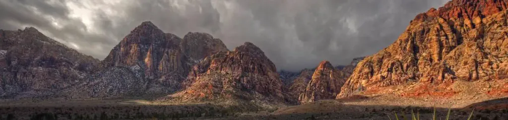
Red Needle Trail is a short, scenic out-and-back hike in the Nevada high desert offering impressive views and accessible terrain for most fitness levels. The trail gains elevation steadily through sagebrush and desert landscape, leading to distinctive red rock formations that give the trail its memorable name. This BLM-managed route provides an excellent introduction to Nevada's unique geology and high desert ecosystems.
Petroglyph Trail
~30 min drive
Desert hike featuring ancient petroglyphs with modest elevation gain.
Panoramic View Trail
~15 min drive
Easy 0.87-mile Nevada trail with panoramic scenic views.
Sloan 500
~21 min drive
5.76-mile desert trail with 480 ft gain near Sloan, Nevada.
Mccullough Hills
~21 min drive
Moderate 9-mile desert hike through McCullough Hills with scenic high desert views.
Cornerstone Loop Trail
~15 min drive
Easy 1.3-mile loop with minimal elevation gain, perfect for casual hikers.
1-Mile Trail
~17 min drive
Quick, easy Nevada trail perfect for beginners and short outings.
Black Mountain (South Loop) 404
~25 min drive
Moderate 5.46-mile loop through Black Mountain foothills with desert views.
1/2-Mile Trail
~17 min drive
Easy half-mile walk with minimal elevation gain, ideal for beginners.
Arizona Hot Spring-White Rock Canyon
~29 min drive
Out-and-back desert canyon hike to a natural hot spring in Arizona.
Sloan 403
~26 min drive
Moderate 3.41-mile desert loop with 387 ft gain near Sloan.