

Yellowstone Safari Company
Hiking business nearby (~42 mi away) — hasn't claimed their Roamze page yet
Free — you'll pick up right here.
Watch this trail
Sign up to watch it — saving subscribes you to gate, closure and report changes.
Montana
11.4 mi
Distance
1,089 ft
Gain
4h 20m
Time
We won't guess. Here is exactly what we do and don't know.
What we do know
Inside Custer Gallatin National Forest
2 managing-area boundaries mapped — agency alerts for them feed this page automatically.
Boundary data
What's missing
No access route mapped
We don't yet know which road reaches this trailhead, so we can't tell you if it's gated.
Nobody's filed a report here yet — be the first.
Why you'll love it
Wilson Draw
AI-suggested draft · review before you go
No permit or access details on file for this trail — check with the local land manager before you go.
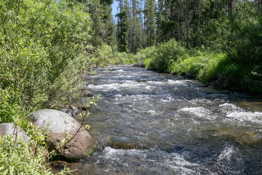
Wilson Draw is an 11.36-mile moderately challenging trail that traverses the rolling terrain of central Montana. This out-and-back or loop route offers steady elevation gain through mixed forest and open draws, providing a rewarding full-day hike with views characteristic of Montana's transitional landscape.
Specimen Creek Trailhead (WK3)
~12 min drive
The Specimen Creek trailhead is on the northwest side of Yellowstone near U.S. Highway 191. From this trailhead, you can embark on the following trail: Specimen Creek Trail Specimen Creek Trail A moderate to strenuous 16.4-mile (26.4 km) there-and-back trail that climbs thr…
Crown Butte
~2 min drive
Quick 2.5-mile summit hike with 454 ft gain near Crown Butte, Montana.
Teepee Creek
~3 min drive
Moderate 9-mile creek-side hike with 1,114 ft elevation gain.
Slide Creek
~5 min drive
Moderate 10.26-mile creek-side hike with 1,705 ft elevation gain.
Daly Creek Spur Trail
~5 min drive
Short out-and-back spur to Daly Creek with forested creek-side walking.
Buffalo Horn
~6 min drive
Scenic 3.5-mile Montana trail with 960 ft gain and excellent half-day hiking.
Dailey Pass
~4 min drive
Moderate 4.95-mile climb to scenic Dailey Pass with 1,093 ft elevation gain.
Sage Creek
~6 min drive
Remote 23.55-mile alpine trail with 2,337 ft gain through Montana backcountry.
Sky Rim Trailhead (WN1)
~5 min drive
This is a remote trailhead at the northwestern boundary of the park that is not accessible by road. From this trailhead, you can embark on the following trails within the park: Sky Rim Trail Dailey Creek Trail
Sunlight
~7 min drive
Scenic 3.74-mile hike with 821 ft elevation gain near Sunlight, Montana.
Local operatorsoffering guided trips. You book directly with them — Roamze doesn’t take a cut.
Yellowstone Safari Company
Hiking business nearby (~42 mi away) — hasn't claimed their Roamze page yet