
Yellowstone Safari Company
Hiking business nearby (~47 mi away) — hasn't claimed their Roamze page yet
Free — you'll pick up right here.
Watch this trail
Sign up to watch it — saving subscribes you to gate, closure and report changes.
Montana
3.3 mi
Distance
813 ft
Gain
1h 31m
Time
We won't guess. Here is exactly what we do and don't know.
What we do know
Inside Custer Gallatin National Forest
2 managing-area boundaries mapped — agency alerts for them feed this page automatically.
Boundary data
What's missing
No access route mapped
We don't yet know which road reaches this trailhead, so we can't tell you if it's gated.
Nobody's filed a report here yet — be the first.
Why you'll love it
Pine Bear (Xc)
AI-suggested draft · review before you go
No permit or access details on file for this trail — check with the local land manager before you go.
Pine Bear is a scenic cross-country ski trail offering a moderate winter experience through Montana's forested terrain. With 813 feet of elevation gain spread across 3.34 miles, this trail provides a rewarding climb through pine-dominated forest with views typical of the region's backcountry. The trail is ideal for intermediate skiers seeking a half-day adventure in a quieter, less-traveled area.
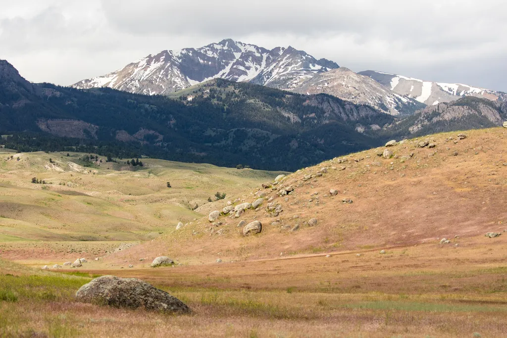
Rescue Creek Trailhead (1N2)
~10 min drive
Bunsen Peak prominently sits south of Mammoth Hot Springs. From this trailhead, you can embark on the following trails: Bunsen Peak Trail Bunsen Peak Road Trail Osprey Falls Trail Parking is limited. Winter trailhead access requires a snow coach drop-off, or skiing up from…

Beaver Ponds Trail
~13 min drive
5.3 mi · Moderate
Schultz Knob (Xc)
~1 min drive
Easy 2.5-mile knob hike with minimal elevation gain.
Bear Creek (Snowmo
~1 min drive
Moderate 7.77-mile trail with 464 ft elevation gain in Bear Creek area.
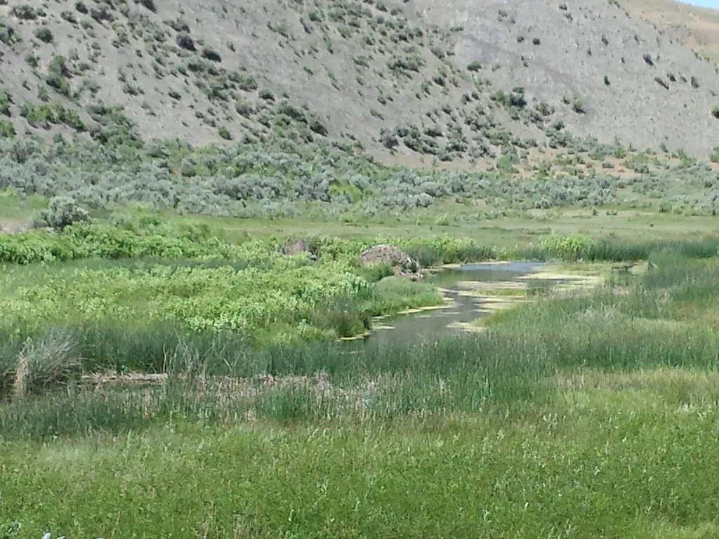
Boiling River
~12 min drive
<p><span style="color:#c0392b;"><strong>No swimming at Boiling River.</strong></span> Currently, swimming is not possible at Boiling River because of the impacts to the river from the <a href="https://www.nps.gov/yell/planyourvisit/flood-recovery.htm">2022 floods</a>.</p> <h2>…
Palmer Creek
~3 min drive
Moderate 4.93-mile creek-side hike with 1,533 ft elevation gain.
Lobo Cutacross a (Xc)
~1 min drive
Short cross-country ski trail with gentle elevation gain.
Pine Creek
~2 min drive
Steady 8.5-mile climb through pine forest with 3,200 ft elevation gain.
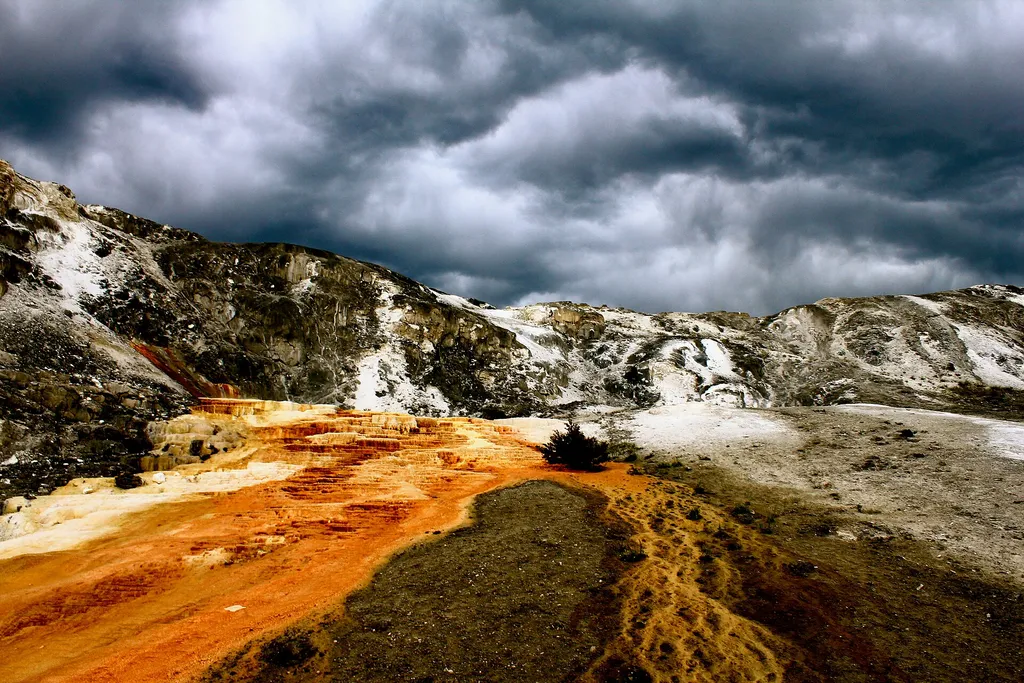
Mammoth Campground Comfort Station
~14 min drive
A worthwhile stop near Wyoming.
Crevice Creek
~5 min drive
Scenic 3.73-mile creek-side hike with moderate elevation gain near Crevice Creek.
Also worth it near here
Local operatorsoffering guided trips. You book directly with them — Roamze doesn’t take a cut.
Yellowstone Safari Company
Hiking business nearby (~47 mi away) — hasn't claimed their Roamze page yet