Loading trail…

Free — you'll pick up right here.
Watch this trail
Sign up to watch it — saving subscribes you to gate, closure and report changes.
Montana
2.5 mi
Distance
1,253 ft
Gain
52 min
Time
We won't guess. Here is exactly what we do and don't know.
What we do know
Inside Lolo National Forest
2 managing-area boundaries mapped — agency alerts for them feed this page automatically.
Boundary data
What's missing
No access route mapped
We don't yet know which road reaches this trailhead, so we can't tell you if it's gated.
Nobody's filed a report here yet — be the first.
Why you'll love it
Outlaw Lake
AI-suggested draft · review before you go
No permit or access details on file for this trail — check with the local land manager before you go.
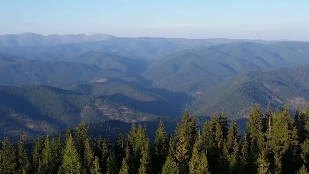
Outlaw Lake is a scenic 2.46-mile roundtrip hike in Montana that leads to an alpine lake nestled in the backcountry. This easy trail offers a rewarding destination for hikers of all skill levels, with gentle terrain and beautiful mountain views. The lake itself provides excellent opportunities for photography, wildlife viewing, and peaceful reflection in a remote setting.
Eddy Ridge
~1 min drive
Scenic ridge hike with steady climbing and panoramic Montana views.
Dee Creek
~12 min drive
Accessible creek-side hike with modest elevation gain in central Montana.
Big Hole Lookout
~13 min drive
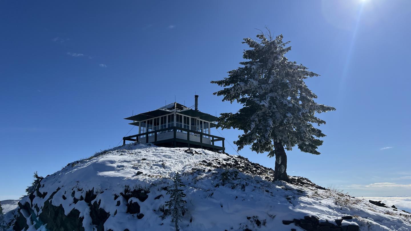
Steady climb to a historic fire lookout with expansive valley views.
Cc Divide
~10 min drive
Moderate 12.24-mile divide crossing with 1,147 ft elevation gain.
T. Falls Fitness West Loop
~14 min drive
Quick 0.6-mile loop with minimal elevation gain near T. Falls.
Goat Lakes
~13 min drive
Moderate alpine lake hike with 1,477 ft gain and scenic subalpine views.
Sacajawea Peak
~11 min drive
Challenging 18.73-mile alpine peak with 3,066 ft elevation gain.
Arrowhead Lake
~17 min drive
Easy alpine lake hike with minimal elevation gain near Arrowhead Lake.
Flat Rock Ridge
~14 min drive
Moderate 11-mile ridge hike with steady elevation gain and panoramic views.
Ashley Creek
~12 min drive
Moderate 7.73-mile creek drainage hike with 2,096 ft elevation gain.