Loading trail…

Free — you'll pick up right here.
Watch this trail
Sign up to watch it — saving subscribes you to gate, closure and report changes.
Montana
0.5 mi
Distance
310 ft
Gain
13 min
Time
We won't guess. Here is exactly what we do and don't know.
What we do know
Inside Custer Gallatin National Forest
3 managing-area boundaries mapped — agency alerts for them feed this page automatically.
Boundary data
What's missing
No access route mapped
We don't yet know which road reaches this trailhead, so we can't tell you if it's gated.
Nobody's filed a report here yet — be the first.
Why you'll love it
Low Specimen
AI-suggested draft · review before you go
No permit or access details on file for this trail — check with the local land manager before you go.
Low Specimen is a short, accessible trail perfect for a quick nature walk or warm-up hike. This nearly half-mile route offers an easy introduction to the Montana backcountry with minimal elevation gain, making it ideal for families, beginners, or those seeking a brief outing.
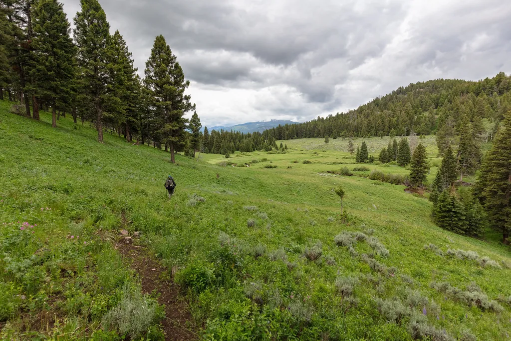
Coyote Creek Trailhead (2N1)
~5 min drive
This is a remote trailhead at the northern boundary of the park that is not accessible by road. From this trailhead, you can embark on the following trail within the park: Coyote Creek Trail
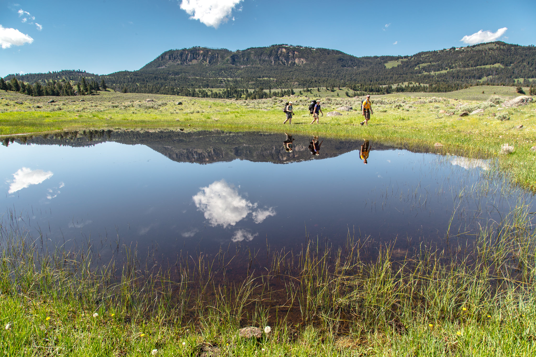
Hellroaring Trailhead (2K8)
~14 min drive
Nestled a 1/4-mile (0.4-km) off the Grand Loop Road, this trailhead provides access to the following trails: Buffalo Plateau Trail Coyote Creek Trail Garnet Hill Loop Trail Hellroaring Creek Trail There is a decent amount of parking at the trailhead. Buffalo Plateau Trai…
Brundage Creek
~2 min drive
Moderate 9.31-mile creek-side hike with 938 ft elevation gain.
Beaver Creek
~5 min drive
Easy streamside walk through Beaver Creek drainage with minimal elevation gain.
Upper Hellroaring Trailhead (2N5)
~4 min drive
This is a remote trailhead at the northern boundary of the park that is not accessible by road. From this trailhead, you can embark on the following trail within the park: Hellroaring Creek Trail
Hellroaring Meadows
~5 min drive
Easy 2.5-mile meadow walk with gentle elevation gain and scenic views.
Telephone Basin
~2 min drive
Remote 18-mile alpine basin trek with 2,185 ft elevation gain.
Telephone Basin
~13 min drive
Scenic 4.46-mile alpine basin hike with moderate elevation gain and mountain views.
2B1 Campsite Spur Trail
~8 min drive
Easy out-and-back spur to 2B1 Campsite in Montana backcountry.
Carpenter Lake
~7 min drive
Easy half-mile lake walk with minimal elevation gain.
Also worth it near here