Loading trail…

Free — you'll pick up right here.
Watch this trail
Sign up to watch it — saving subscribes you to gate, closure and report changes.
Montana
26.7 mi
Distance
1,978 ft
Gain
9h 53m
Time
We won't guess. Here is exactly what we do and don't know.
What we do know
Inside Bitterroot National Forest
2 managing-area boundaries mapped — agency alerts for them feed this page automatically.
Boundary data
What's missing
No access route mapped
We don't yet know which road reaches this trailhead, so we can't tell you if it's gated.
Nobody's filed a report here yet — be the first.
Why you'll love it
Deer Creek
AI-suggested draft · review before you go
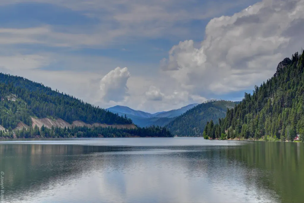
Deer Creek is a challenging backcountry trail that traverses nearly 27 miles through Montana's diverse terrain, gaining almost 2,000 feet of elevation. This extended journey follows creek drainages and forest corridors, offering solitude and immersion in the natural landscape. Best suited for experienced hikers seeking a multi-day adventure or those with strong endurance for a demanding day hike.
Salt Creek
~4 min drive
Moderate 10.86-mile creek-side hike with minimal elevation gain.
Head of West Fork
~9 min drive
Easy 1.36-mile forest walk in the West Fork drainage.
Taylor Creek
~15 min drive
Easy creek-side walk through Montana forest with minimal elevation gain.
Razorback Ridge
~6 min drive
Demanding 30-mile ridge traverse with sustained elevation gain and remote alpine exposure.
North Coal
~11 min drive
Easy 2.89-mile foothills walk with 309 ft elevation gain.
Bare and Tincan Springs
~15 min drive
Easy 3.56-mile trail to two natural springs with minimal elevation gain.
Thunder Mountain
~9 min drive
Accessible 6-mile summit hike with moderate views and gentle climbing.
Castle Rock
~15 min drive
Moderate 9-mile summit hike with 1,559 ft gain and panoramic views.
Fourth of July Gulch
~10 min drive
Moderate 6.6-mile gulch hike with 432 ft gain near Fourth of July area.
Straight
~17 min drive
Moderate 5.8-mile hike with 323 ft elevation gain in central Montana.