Loading trail…

Free — you'll pick up right here.
Watch this trail
Sign up to watch it — saving subscribes you to gate, closure and report changes.
Montana
2.0 mi
Distance
77 ft
Gain
42 min
Time
We won't guess. Here is exactly what we do and don't know.
What we do know
Inside Helena-Lewis and Clark National Forest
2 managing-area boundaries mapped — agency alerts for them feed this page automatically.
Boundary data
What's missing
No access route mapped
We don't yet know which road reaches this trailhead, so we can't tell you if it's gated.
Nobody's filed a report here yet — be the first.
Why you'll love it
Crystal Lk Stock Bypass
AI-suggested draft · review before you go
No permit or access details on file for this trail — check with the local land manager before you go.
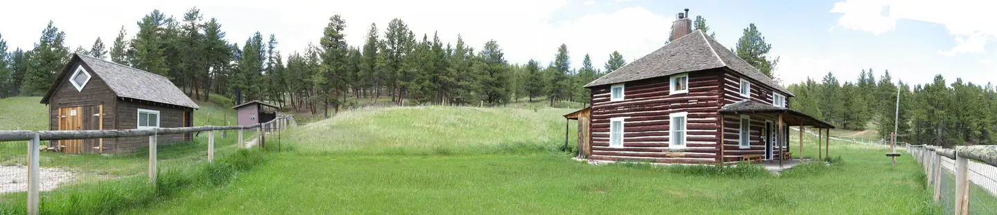
Crystal Lake Stock Bypass is a short, easy trail perfect for beginners and families seeking a gentle forest walk in Montana. This nearly 2-mile route offers a low-elevation gain experience through typical montane terrain, likely featuring meadows or gentle forest sections used historically for livestock access. The bypass nature of the trail suggests it provides an alternative route around a main trail or water crossing.
Uhlhorn
~0 min drive
Challenging 37.89-mile backcountry trail with 2,331 ft elevation gain in Montana.
Grand View
~2 min drive
Moderate 5.5-mile climb with 1,783 ft gain and panoramic mountain views.
Daisy Canyon
~1h 8m drive
Accessible canyon hike with scenic views and moderate elevation gain.
Crystal Cascades
~3 min drive
Moderate 5.6-mile hike to scenic cascades with 1,000 ft elevation gain.
Blake Creek Summit
~6 min drive
Steep 4.27-mile climb to Blake Creek Summit with 2,072 ft elevation gain.
Fawn Cr.-East Fk. Spr.Cr
~1h 14m drive
Short creek connector trail between Fawn and East Fork Spring creeks.
West Peak
~3 min drive
Long, gentle 14.24-mile Montana trail with minimal elevation gain.
Logan Ridge
~8 min drive
Steady ridge climb with panoramic views and moderate elevation gain.
High Park
~1h 20m drive
Easy 1.77-mile trail with 310 ft gain near High Park, Montana.
Dry Pole Creek
~4 min drive
Moderate 12.24-mile creek drainage hike with 1,738 ft elevation gain.