Loading trail…

Free — you'll pick up right here.
Watch this trail
Sign up to watch it — saving subscribes you to gate, closure and report changes.
Montana
8.6 mi
Distance
3,484 ft
Gain
4h 37m
Time
We won't guess. Here is exactly what we do and don't know.
What we do know
Inside Kootenai National Forest
2 managing-area boundaries mapped — agency alerts for them feed this page automatically.
Boundary data
What's missing
No access route mapped
We don't yet know which road reaches this trailhead, so we can't tell you if it's gated.
Nobody's filed a report here yet — be the first.
Why you'll love it
Bear Creek
AI-suggested draft · review before you go
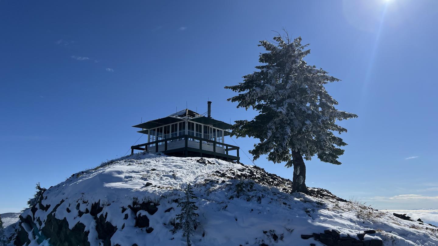
Bear Creek Trail is a moderately strenuous 8.6-mile round-trip hike gaining over 3,400 feet of elevation through Montana's scenic backcountry. This trail follows Bear Creek drainage, offering hikers a rewarding alpine experience with significant elevation gain that tests endurance while delivering mountain vistas and creek-side scenery typical of the region.
Grouse Creek
~3 min drive
Moderate 5.92-mile creek-side hike with steady elevation gain through Montana forest.
Spring Creek
~3 min drive
Easy creek-bottom walk through riparian habitat near Spring Creek, Montana.
West Fork Cataract
~8 min drive
Moderate 6-mile forest trail with 2,741 ft gain to scenic waterfall features.
Moose Peak
~5 min drive
Moderate 5.14-mile climb to Moose Peak with 1,775 ft elevation gain.
Grouse Ridge
~4 min drive
Short foothills ridge hike with 451 ft gain near Grouse Ridge, Montana.
West Fork Canyon Creek
~12 min drive
Moderate canyon creek hike with steady elevation gain and scenic drainage views.
Elk Mountain
~7 min drive
Moderate 6.8-mile climb to Elk Mountain with 2,400 ft elevation gain.
Water Hill
~6 min drive
Short, steady climb on accessible Montana trail near Water Hill.
Cougar Peak
~13 min drive
Scenic 3.8-mile peak hike with 523 ft elevation gain.
Blacktail Loop
~8 min drive
Moderate 14.82-mile loop with gentle elevation gain and scenic Montana backcountry.