Loading trail…

Free — you'll pick up right here.
Watch this trail
Sign up to watch it — saving subscribes you to gate, closure and report changes.
Montana
4.8 mi
Distance
596 ft
Gain
1h 55m
Time
Agency alerts are in effect for this area; weather is marginal
2 factors · 2 sources
Newest 3 h ago · oldest 10 d
caution: Agency alerts
10 active alerts in Flathead National Forest; most severe: Camp Creek Fire Trail Closure
USFS10 d ago
caution: Weather
Rain, high 45°F / low 45°F, 100% precip — 65/100 for hike
OpenWeather3 h ago
Been out here in the last few days? One report keeps this current for everyone.
Why you'll love it
Albino
AI-suggested draft · review before you go
No permit or access details on file for this trail — check with the local land manager before you go.
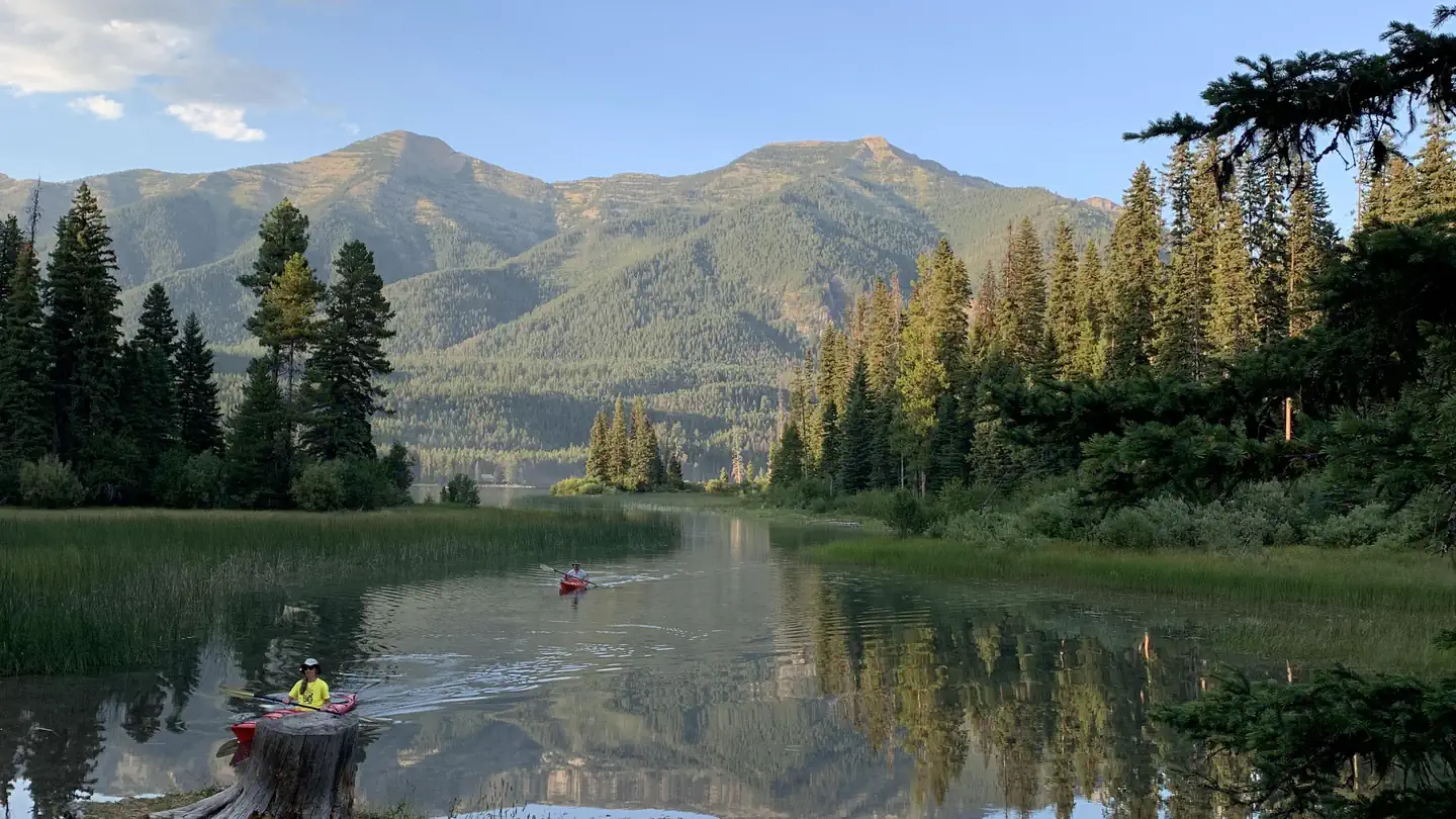
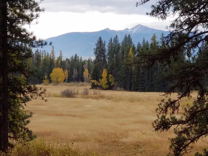
The Albino Trail is a scenic 4.84-mile out-and-back hike offering modest elevation gain through Montana's diverse terrain. This relatively accessible trail provides a rewarding experience for hikers seeking a half-day adventure with steady climbing and expansive views characteristic of the region.
Tango Point
~2 min drive
Steep 4.4-mile climb with 3,071 ft gain; challenging summit hike.
Holbrook Creek
~9 min drive
Easy creek-side walk through Montana's riparian landscape.
Lena Peak
~9 min drive
Steep 2.65-mile climb to Lena Peak with 1,000 ft elevation gain.
Brownie
~7 min drive
Moderate 10.22-mile hike with 3,020 ft elevation gain near Brownie, Montana.
Lena Lake
~10 min drive
Easy 1.7-mile hike to a scenic alpine lake with 309 ft elevation gain.
Doctor Creek
~16 min drive
Gentle creek-side hike through forested Montana terrain with minimal elevation gain.
Big Salmon Creek
~8 min drive
Long, flat creek-bottom trail through Montana riparian habitat.
Sapphire Lakes
~10 min drive
Short alpine lake trail with scenic mountain views in the Sapphires.
Shaw Mtn
~16 min drive
Steep 4-mile climb to Shaw Mountain summit with 2,633 ft elevation gain.
Smith - Little Salmon
~9 min drive
Remote 46.5-mile expert backcountry traverse with 7,462 ft elevation gain.