Loading trail…

Free — you'll pick up right here.
Watch this trail
Sign up to watch it — saving subscribes you to gate, closure and report changes.
Missouri
51.8 mi
Distance
4,779 ft
Gain
19h 40m
Time
We won't guess. Here is exactly what we do and don't know.
What we do know
Inside Ozark National Scenic Riverways
National Park unit boundary is mapped — agency alerts for it feed this page automatically.
Boundary data
What's missing
No access route mapped
We don't yet know which road reaches this trailhead, so we can't tell you if it's gated.
Nobody's filed a report here yet — be the first.
Why you'll love it
Ozark Trail
AI-suggested draft · review before you go
No permit or access details on file for this trail — check with the local land manager before you go.
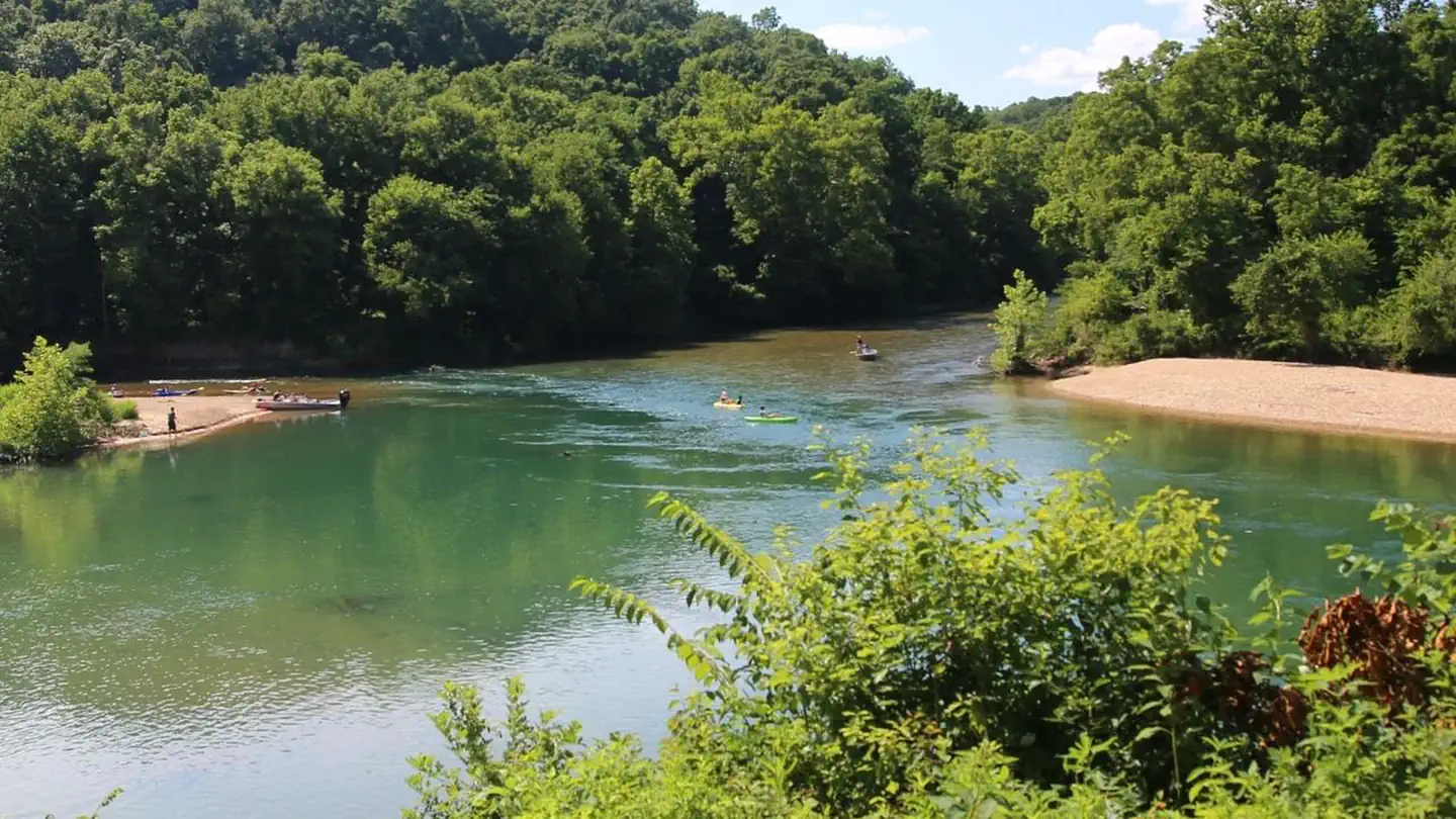
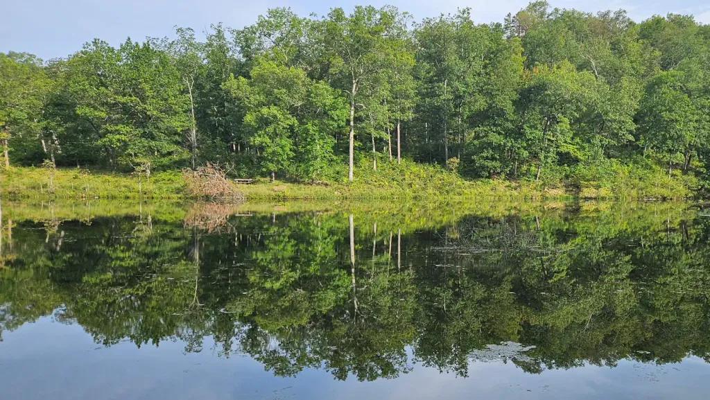
The Ozark Trail is a challenging point-to-point trek spanning nearly 52 miles through the heart of Missouri's Ozark region. This long-distance trail traverses diverse terrain including forested ridges, creek valleys, and rocky outcrops characteristic of the Ozark plateau, offering hikers an immersive wilderness experience through one of Missouri's most scenic natural areas.
Fox Pen Loop
~16 min drive
Easy out-and-back trail under 1 mile in Missouri.
Sutton Bluff Campground Trail
~38 min drive
A 1.00-mile out-and-back trail in Missouri with 33 feet of elevation gain and easy difficulty.
Brushy Creek - Red
~49 min drive
6.58-mile out-and-back trail in Missouri with 3,045 ft elevation gain. Hard difficulty.
Huzzah Forest Loop
~53 min drive
A 5.16-mile moderate loop trail in Missouri with 579 feet of elevation gain.
Lick Log Hollow
~16 min drive
Short out-and-back hollow walk in Missouri's scenic karst country.
Brushy Creek - Green 3
~42 min drive
Easy 2.48-mile out-and-back trail in Missouri with 212 ft elevation gain.
Brushy Creek - Blue 1
~50 min drive
A 7.79-mile hard out-and-back trail in Missouri with 779 ft elevation gain.
Lindsey Mountain Trail
~1h 2m drive
A 4.18-mile out-and-back trail in Missouri that connects to the Bell Mountain trail system.
Fox Pen Road Access
~16 min drive
Easy 0.36-mile out-and-back walk along Fox Pen Road in Missouri.
Brushy Creek - Blue 6
~44 min drive
1.59-mile out-and-back trail in Missouri with 282 ft elevation gain.