Loading trail…

Free — you'll pick up right here.
Watch this trail
Sign up to watch it — saving subscribes you to gate, closure and report changes.
Michigan
10.3 mi
Distance
838 ft
Gain
3h 52m
Time
We won't guess. Here is exactly what we do and don't know.
What we do know
Inside Isle Royale National Park
2 managing-area boundaries mapped — agency alerts for them feed this page automatically.
Boundary data
What's missing
No access route mapped
We don't yet know which road reaches this trailhead, so we can't tell you if it's gated.
Nobody's filed a report here yet — be the first.
Why you'll love it
Indian Portage Trail
AI-suggested draft · review before you go
No permit or access details on file for this trail — check with the local land manager before you go.
The Indian Portage Trail is a scenic point-to-point route in Michigan that follows a historic portage corridor used by Native Americans and early fur traders. This 10.33-mile trail traverses diverse terrain connecting waterways and showcasing the region's natural beauty and cultural heritage. Hikers can expect a moderate challenge with varied landscapes typical of Michigan's inland trail systems.
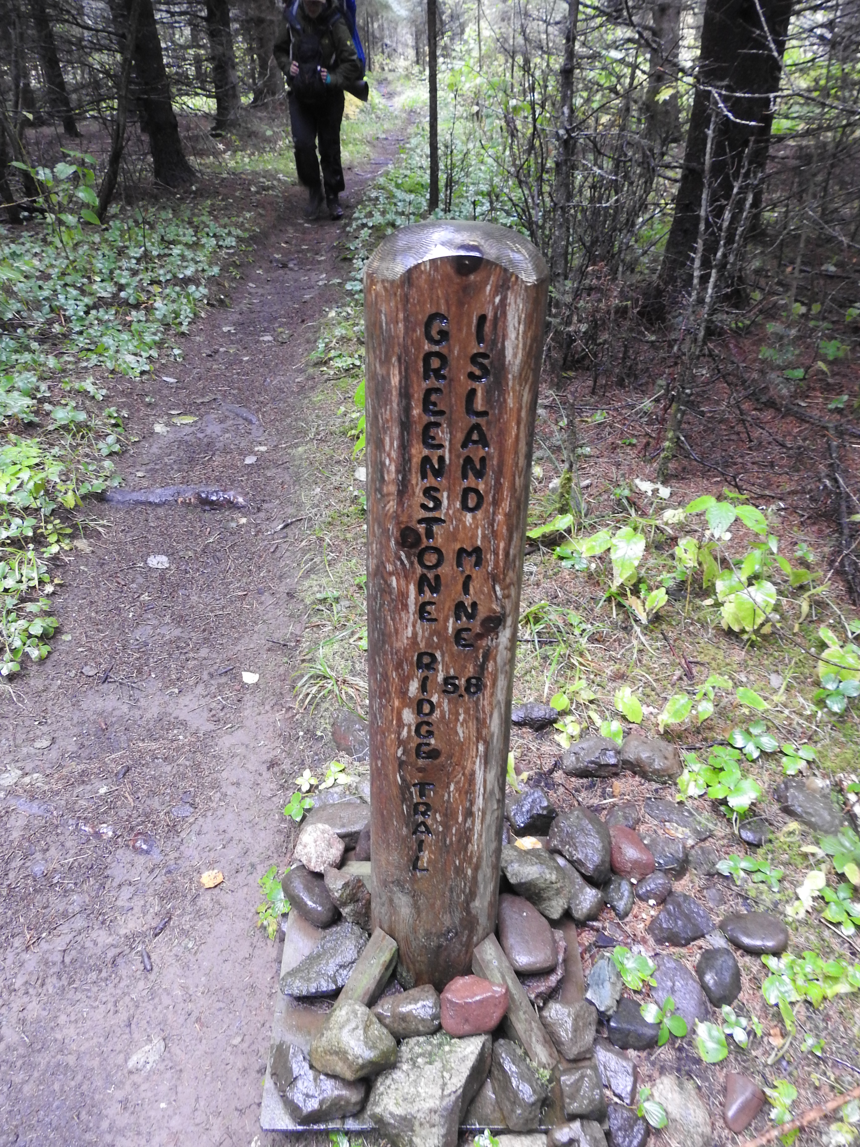
Greenstone Ridge Trailhead: Hidden Lake
~23 min drive
<p><a href="https://www.nps.gov/isro/planyourvisit/camping.htm">Backpack Isle Royale National Park</a> and trek the Greenstone Ridge Trail that connects the southwest end to the northeast end of the island. The island’s longest trail includes forested wilderness, rocky exposed…
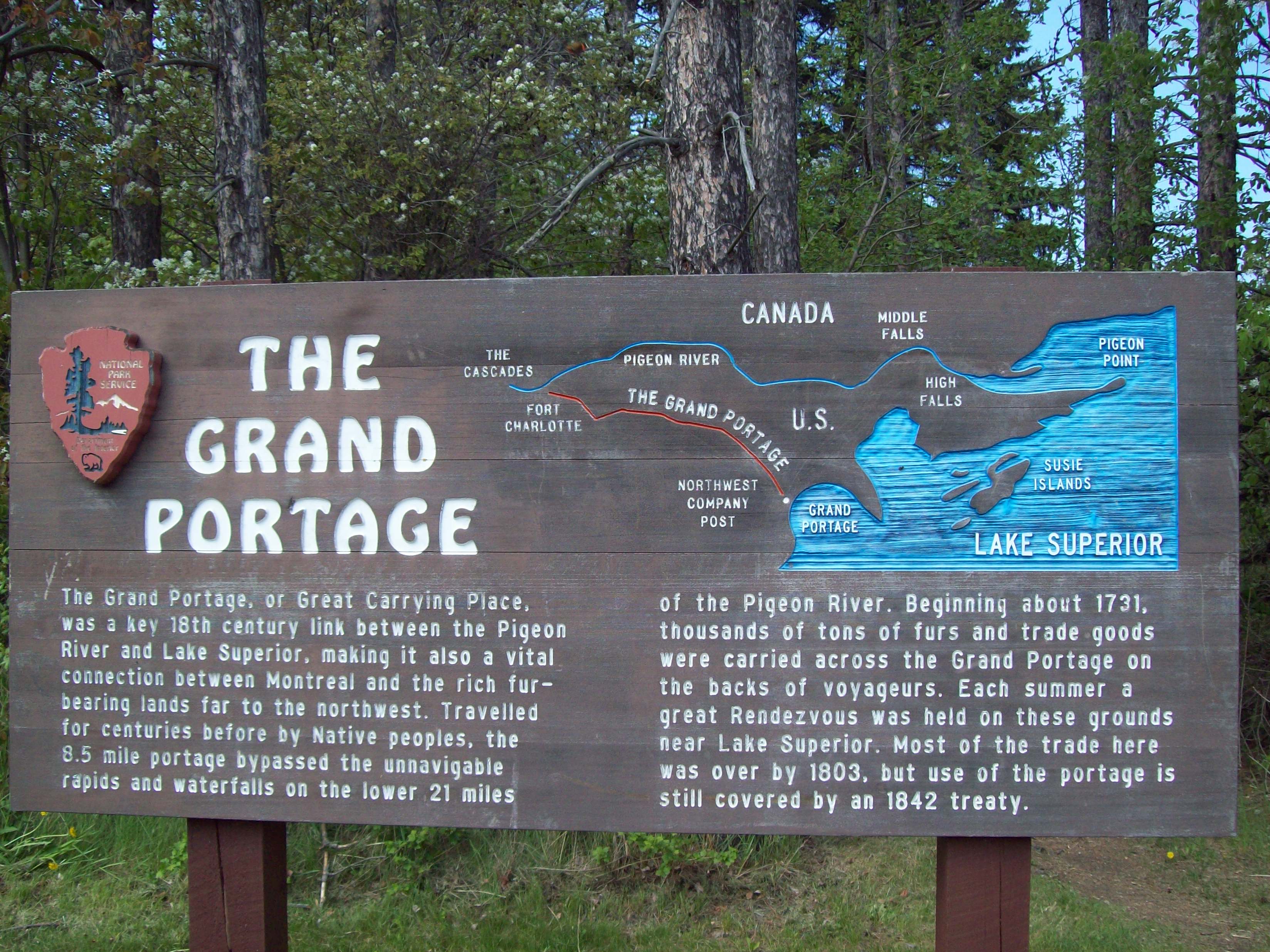
Trailhead for Gichi Onigaming, the Grand Portage
~1h 17m drive
<h2 aria-hidden="true" tabindex="0">Canoe Loading across from the Historic Site</h2> <p>From Thursday August 7 to Sunday August 10, please load/unload canoes off road near the Grand Portage trailhead sign at the corner of Store and Mile Creek Roads. Please do not cross the int…
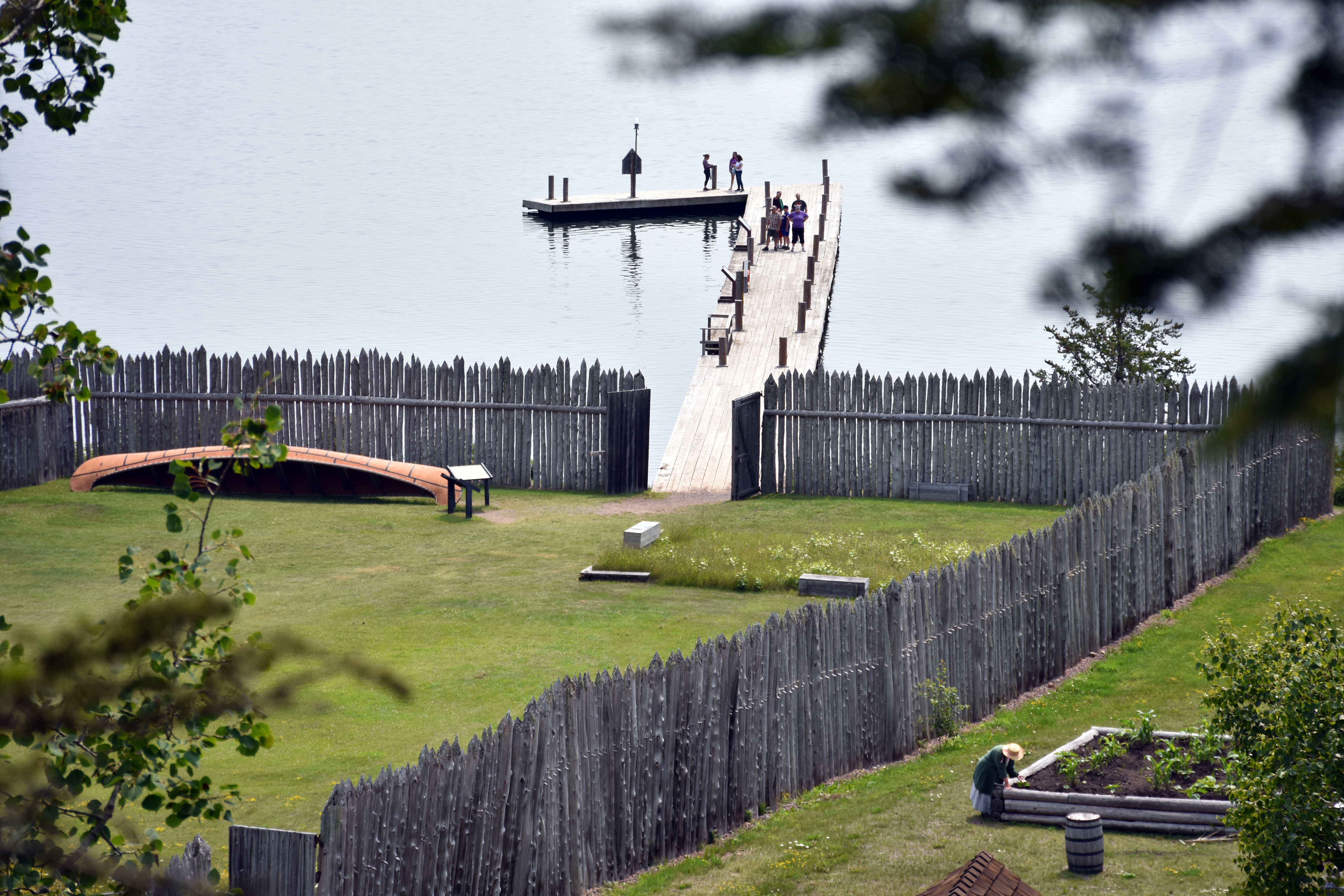
Mount Rose Trail Depot Overlook
~1h 18m drive
<p>This overlook is at a low rock wall along the trail.</p>
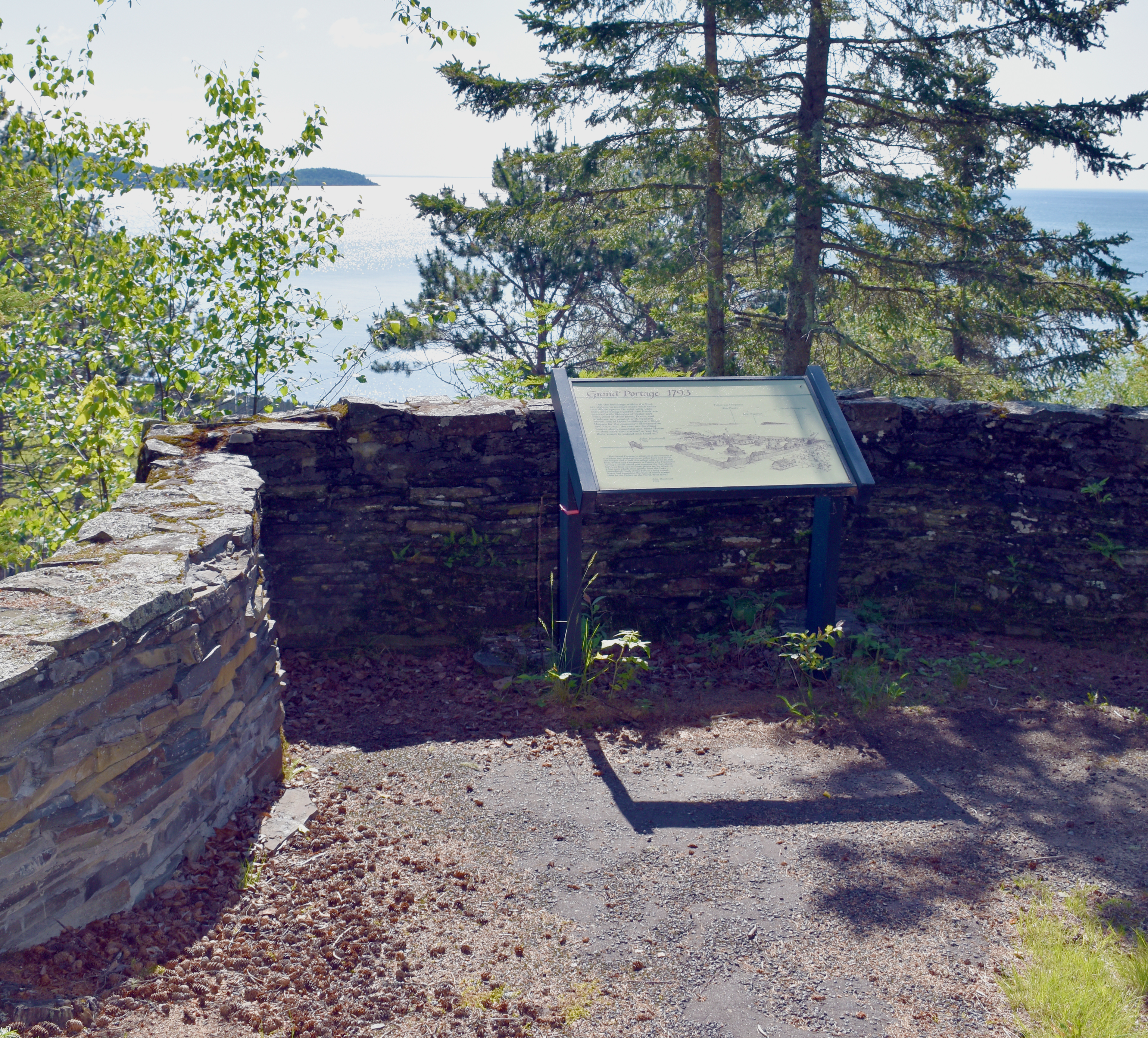
Mount Rose Trail Interpretive Overlook
~1h 18m drive
<p>The Mount Rose Trails offers multiple stops to view Grand Portage Bay and the Historic Depot from above. Learn some fur trade history and take a photo.</p>
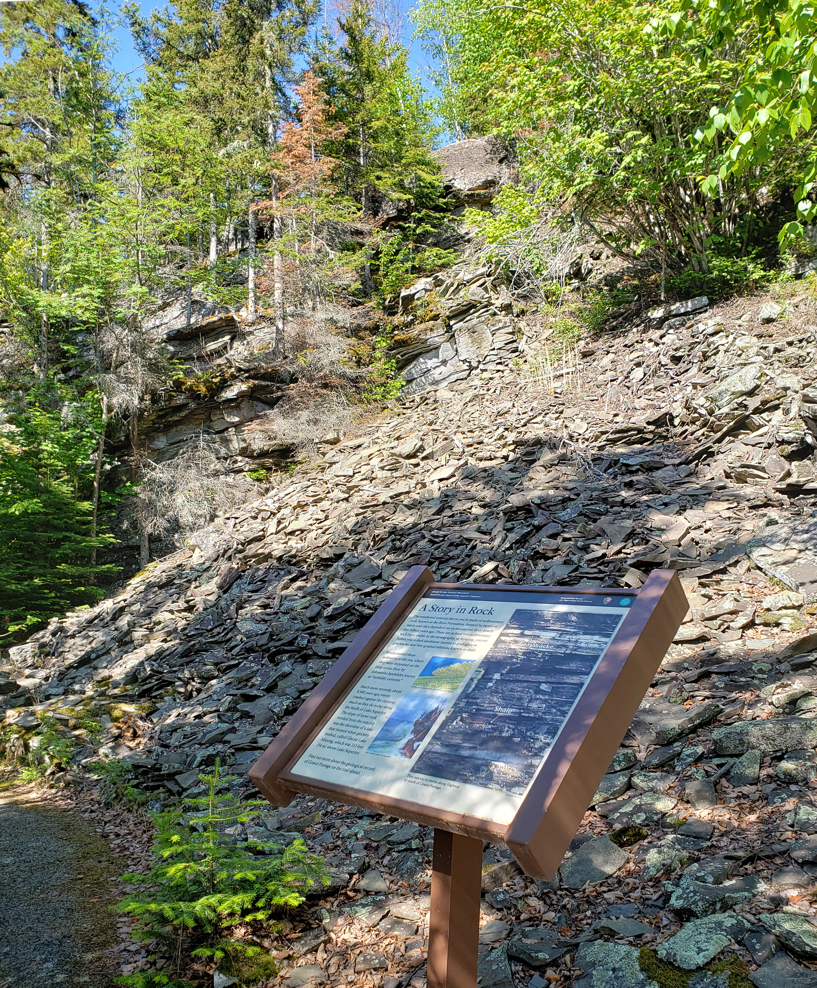
Mount Rose A Story in Rock
~1h 18m drive
<h2>A Story in Rock</h2> <p>The weathered outcrop above you is made of sedimentary rock, known as the Rove Formation, formed by layers of sands and clay deposited on an ancient sea floor nearly two billion years ago. There are at least two sedimentary rock types visible in the…
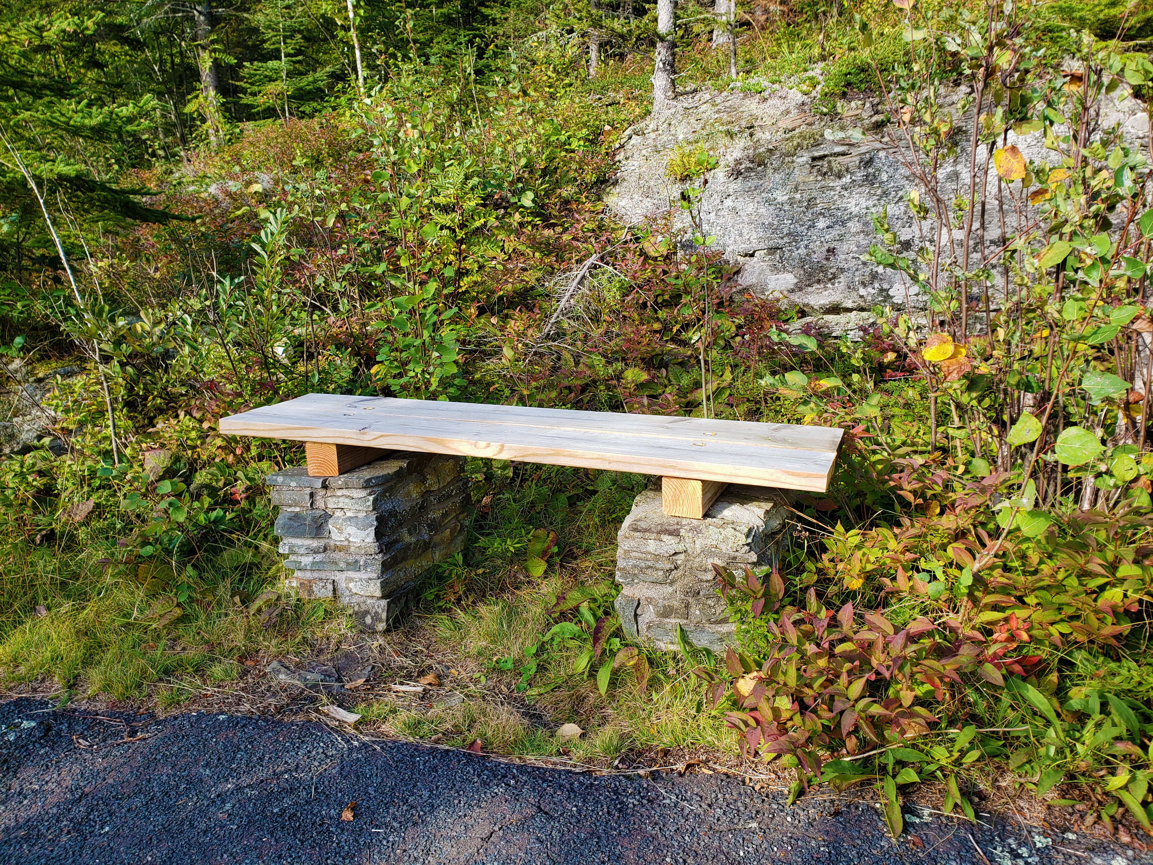
Mount Rose Trail Bench
~1h 18m drive
<p>This bench, about halfway up the hill from the Depot trailhead, is a perfect spot to catch your breath in sun dappled shade with a view of Lake Superior through the trees.</p>
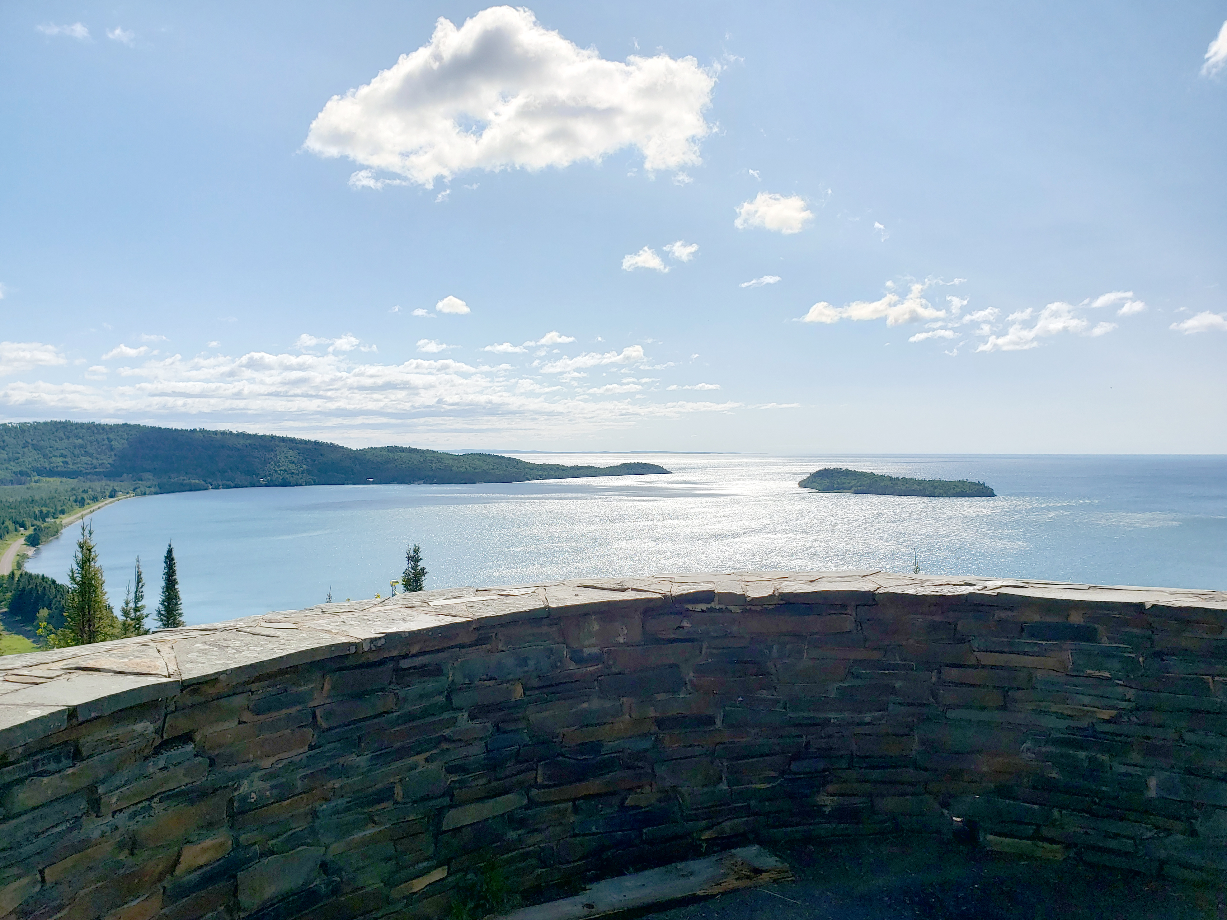
Mount Rose Summit
~1h 18m drive
<p>From the summit of Mount Rose, see the Historic Depot and Grand Portage Bay. On a clear day, Isle Royale is visible on the horizon. A low wall protects people from the edge of a steep dropoff. This is the best place to photograph the Historic Depot from above.</p>
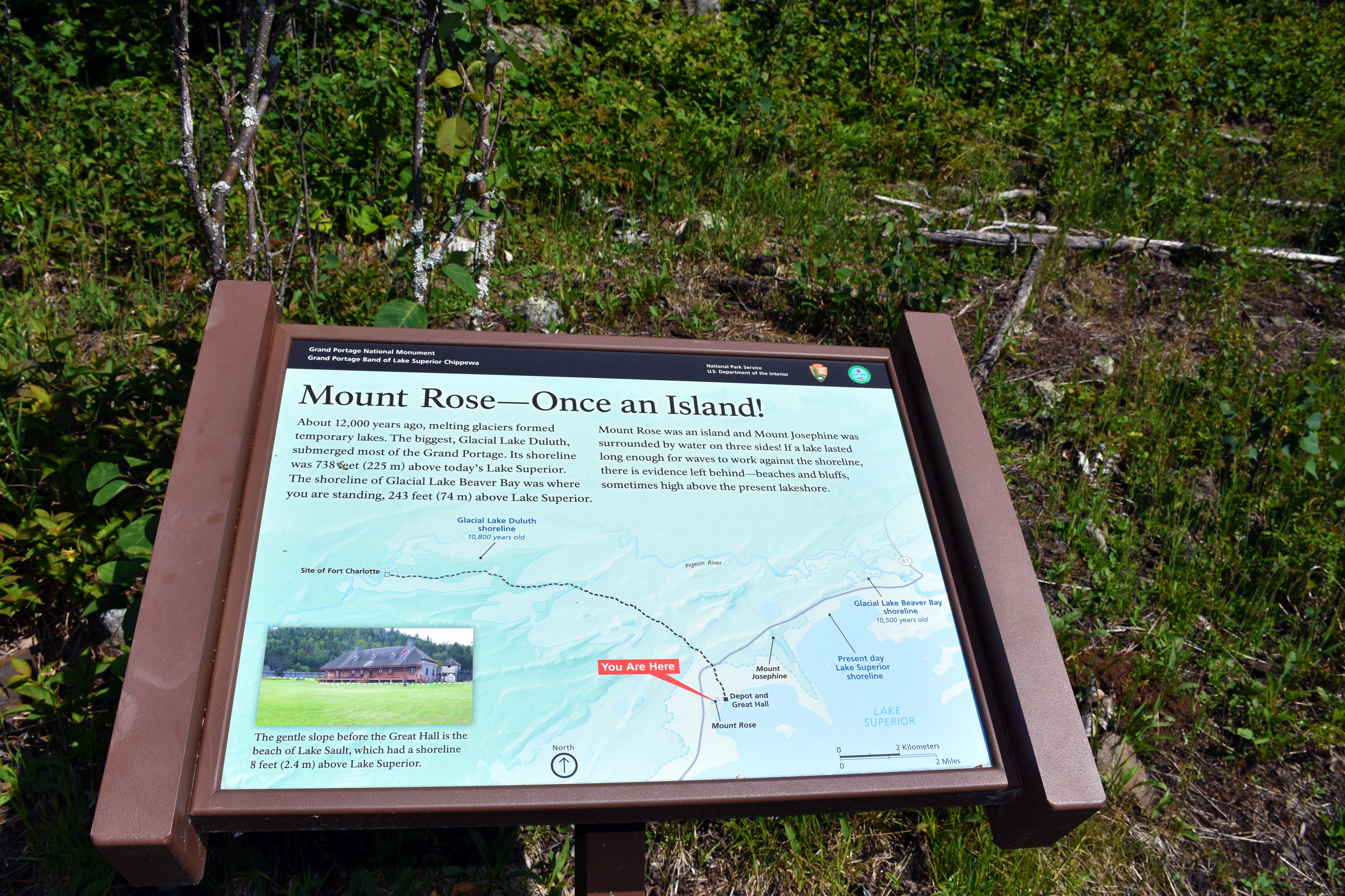
Mount Rose - Once an Island!
~1h 18m drive
<h2>Mount Rose – Once an Island!</h2> <p>About 12,000 years ago, melting glaciers formed temporary lakes. The biggest, Glacial Lake Duluth, submerged most of the Grand Portage. Its shoreline was 738 feet (225 m) above today’s Lake Superior.</p> <p>The shoreline of Glacial Lake…
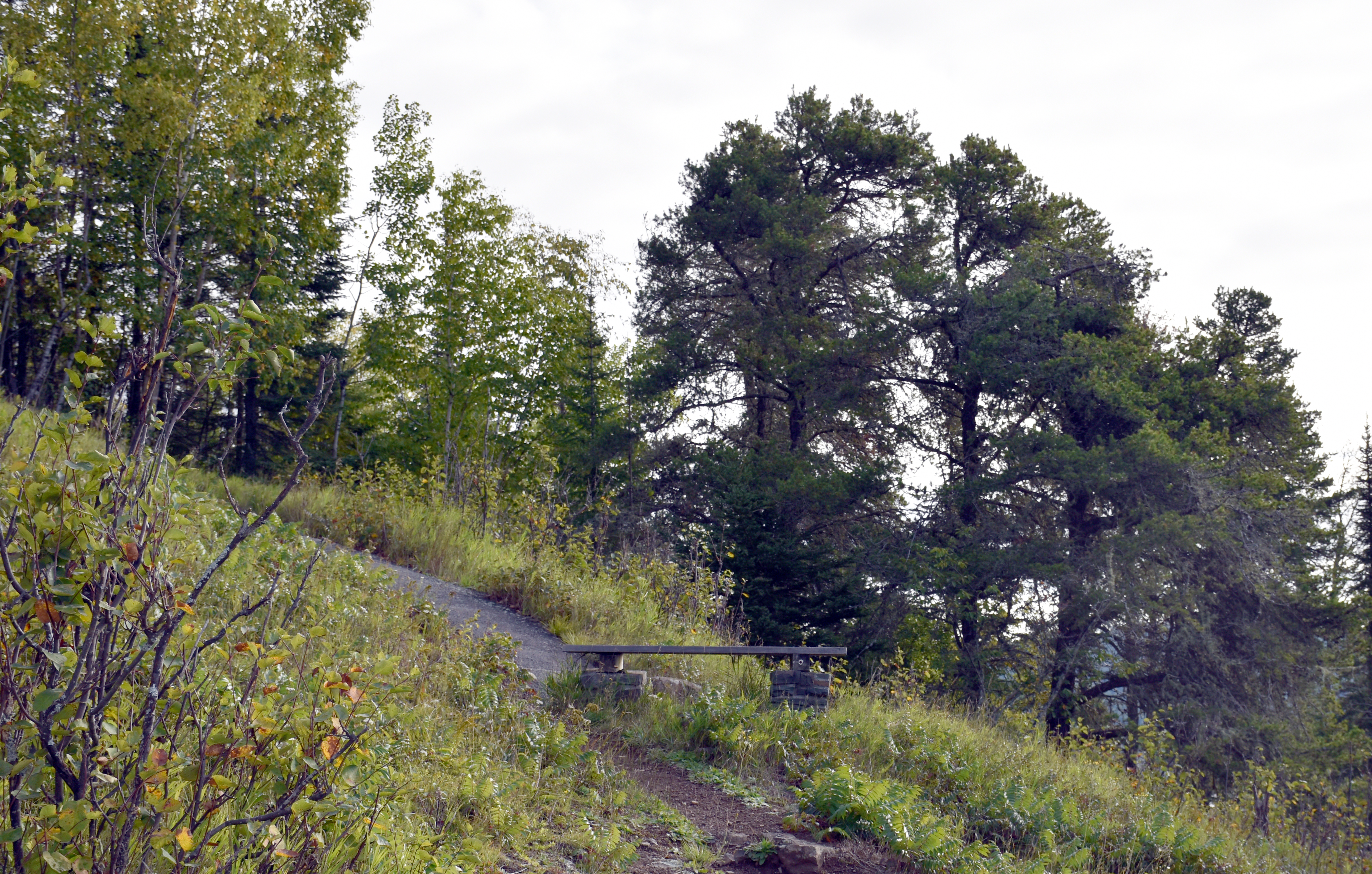
Mount Rose Trail Junction
~1h 18m drive
<p>This bench is at the junction of the two trails. One begins at the <a href="https://www.nps.gov/places/mount-rose-trailhead-depot.htm">Mount Rose Depot Trailhead</a>. The other begins at the <a href="https://www.nps.gov/places/mount-rose-trailhead-parking-lot.htm">Mount Ros…
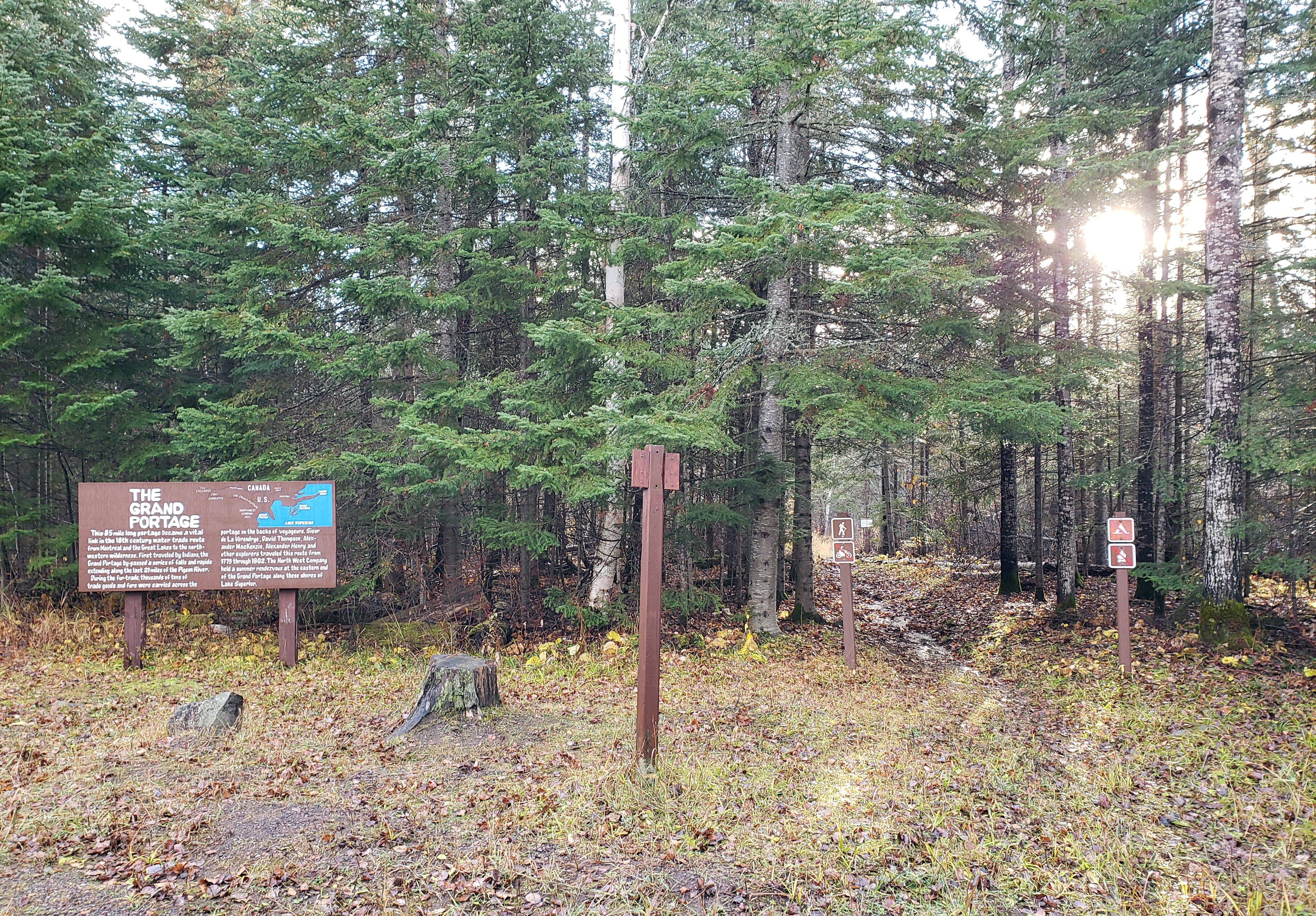
Midway Parking for the Grand Portage
~1h 21m drive
<p>Today's 8.5-mile (13.7 kilometers) <a href="https://www.nps.gov/grpo/learn/photosmultimedia/grand-portage-trail.htm">portage trail</a> corridor can be thought of in two parts: the eastern "half" that passes through gaps and valleys to avoid the high rocky ridges and the wes…