
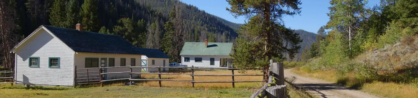
The Sawmill Station
Hiking business nearby (~39 mi away) — hasn't claimed their Roamze page yet
Free — you'll pick up right here.
Watch this trail
Sign up to watch it — saving subscribes you to gate, closure and report changes.
Idaho
21.2 mi
Distance
4,063 ft
Gain
We won't guess. Here is exactly what we do and don't know.
What we do know
Inside Salmon-Challis National Forest
3 managing-area boundaries mapped — agency alerts for them feed this page automatically.
Boundary data
What's missing
No access route mapped
We don't yet know which road reaches this trailhead, so we can't tell you if it's gated.
Nobody's filed a report here yet — be the first.
Why you'll love it
Woodtick Ridge
AI-suggested draft · review before you go
No permit or access details on file for this trail — check with the local land manager before you go.
Woodtick Ridge is a challenging 21-mile backcountry trek offering substantial elevation gain across remote Idaho terrain. This hard-difficulty trail rewards experienced hikers with expansive ridge-line views and the solitude of lesser-traveled high country. The route combines steady climbing with ridge traversal, making it ideal for those seeking a full-day alpine adventure.
Middle Fork River
~3 min drive
Remote 58-mile wilderness backpack along the Middle Fork River in central Idaho.
Melville Ridge
~7 min drive
Steep ridge climb with 2,336 ft gain over 4.2 miles near Melville Ridge, Idaho.
Sleeping Deer Lo
~14 min drive
Short, easy foothill hike with steady elevation gain near Sleeping Deer.
Pole Creek
~6 min drive
Challenging 10.83-mile alpine trek with 3,042 ft elevation gain via Pole Creek drainage.
Lower Yellowjacket
~16 min drive
Moderate 11-mile trail with 1,283 ft gain through Idaho backcountry.
Middle Fork Peak Cut Off
~19 min drive
Steep 1.3-mile alpine cutoff with 649 ft gain to Middle Fork Peak.
Castle
~9 min drive
Challenging 18.83-mile backcountry route with 3,032 ft elevation gain.
Camas-Eddy Creek
~21 min drive
Easy 3-mile creek-side hike through Idaho foothills.
Rock Lake
~14 min drive
Easy alpine lake hike with minimal elevation gain near Rock Lake.
Flume-S Fk Camas
~12 min drive
Remote 18-mile backcountry route through Camas Creek drainage with significant elevation gain.
Local operatorsoffering guided trips. You book directly with them — Roamze doesn’t take a cut.
The Sawmill Station
Hiking business nearby (~39 mi away) — hasn't claimed their Roamze page yet