Loading trail…

Free — you'll pick up right here.
Watch this trail
Sign up to watch it — saving subscribes you to gate, closure and report changes.
Idaho
6.0 mi
Distance
283 ft
Gain
We won't guess. Here is exactly what we do and don't know.
What we do know
Inside Caribou-Targhee National Forest
2 managing-area boundaries mapped — agency alerts for them feed this page automatically.
Boundary data
What's missing
No access route mapped
We don't yet know which road reaches this trailhead, so we can't tell you if it's gated.
Nobody's filed a report here yet — be the first.
Why you'll love it
Railroad Right-Of-Way
AI-suggested draft · review before you go
No permit or access details on file for this trail — check with the local land manager before you go.
Railroad Right-Of-Way is a moderate 6-mile trail that follows a historic railroad corridor through Idaho's landscape. This relatively flat route with modest elevation gain makes it an excellent choice for hikers seeking a leisurely walk with minimal technical challenge. The trail's gentle grade and linear path offer a peaceful journey through the region's natural terrain.
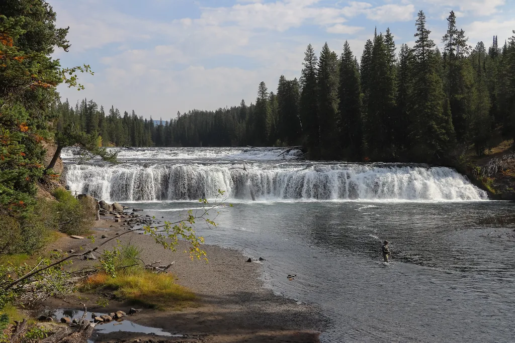
Cave Falls Trailhead (9K2)
~26 min drive
<p>This trailhead is located along the Cave Falls Road, just north of the southern park boundary. This trailhead provides access to the following trails:</p> <ul> <li>Bechler River Trail</li> <li>South Boundary Trail: Bechler Ranger Station–Grassy Lake</li> </ul> <p><b>Bechler…
Trail Canyon
~11 min drive
Moderate 13.69-mile canyon trail with 1,608 ft elevation gain in central Idaho.
Sheep Falls
~12 min drive
Easy waterfall hike to Sheep Falls cascade.
Poachers
~33 min drive
7.8 mi · Moderate
Grassy Lake Trailhead (9K6)
~42 min drive
<p>This is a more remote trailhead along the southern boundary of the park, which can be accessed by road. From this trailhead you can embark on the following trails within the park:</p> <ul> <li>Mountain Ash Creek Trail</li> </ul>
Moose Creek
~11 min drive
12.5-mile moderate-hard trail through Idaho backcountry with creek access and forest scenery.
Camp Ridge
~14 min drive
Scenic 2.79-mile ridge hike with 544 ft elevation gain near Camp Ridge, Idaho.
Box Canyon
~35 min drive
Easy 5.57-mile canyon walk with minimal elevation gain.
Bechler Backcountry Office
~23 min drive
<p>Stop by the backcountry office to purchase: fishing permits, entrance and interagency passes, overnight backcountry camping permits, float tube permits, and non-fee horseback day riding permits. Our experienced staff can also help you with trail, hiking, and horseback ridin…
Flat Canyon
~17 min drive
Moderate 6.88-mile canyon hike with 1,276 ft elevation gain.