
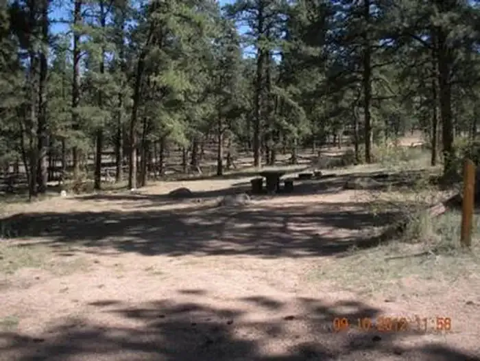
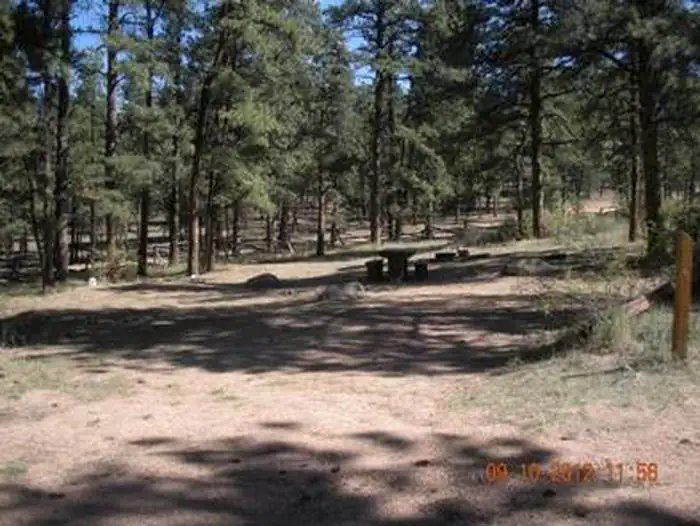
Lostfork Basecamp
Hiking business nearby (~20 mi away) — hasn't claimed their Roamze page yet
Free — you'll pick up right here.
Watch this trail
Sign up to watch it — saving subscribes you to gate, closure and report changes.
Colorado
4.4 mi
Distance
491 ft
Gain
We won't guess. Here is exactly what we do and don't know.
What we do know
Inside Pike and San Isabel National Forests
2 managing-area boundaries mapped — agency alerts for them feed this page automatically.
Boundary data
What's missing
No access route mapped
We don't yet know which road reaches this trailhead, so we can't tell you if it's gated.
Nobody's filed a report here yet — be the first.
Why you'll love it
Tramway
AI-suggested draft · review before you go
Tramway is a 4.4-mile out-and-back trail located in Colorado near Colorado, managed by the San Juan National Forest's Mancos-Dolores Ranger District. The trail offers hikers an accessible option for exploring the San Juan National Forest area without requiring a significant commitment of time or distance. As an out-and-back route, hikers will retrace their path on the return journey, making it easy to turn back at any point if desired. The trail is suitable for various skill levels, and its moderate mileage makes it a good choice for families or those looking for a half-day hike. The relatively short distance allows visitors to focus on enjoying the forest environment and scenery characteristic of the region. The San Juan National Forest provides a scenic backdrop with its diverse landscape and natural features. Being managed by the Forest Service, the trail is maintained as part of the National Forest system, ensuring regular upkeep and public access. Visitors should check with the Mancos-Dolores Ranger District for current trail conditions and any seasonal closures before planning their visit.

Blackjack
~4 min drive
2.7 mi · Easy

Sandy Wash
~5 min drive
5.7 mi · Moderate

Brookside-McCurdy Trail
~18 min drive
60 mi · Hard
Narrow Gauge
~6 min drive
0.4 mi · Easy

Ringtail
~20 min drive
5.1 mi · Moderate

Goose Creek
~22 min drive
19 mi · Hard

Devils Head
~22 min drive
2.8 mi · Easy

Brookside Ag
~23 min drive
7.4 mi · Moderate
Hankins Pass Trail
~22 min drive
13 mi · Hard
Morrison Creek
~1 min drive
4.1 mi · Easy
Local operatorsoffering guided trips. You book directly with them — Roamze doesn’t take a cut.
Lostfork Basecamp
Hiking business nearby (~20 mi away) — hasn't claimed their Roamze page yet
Camp Always Choose Adventures
Hiking business nearby (~34 mi away) — hasn't claimed their Roamze page yet
Broadmoor Outfitters
Hiking business nearby (~46 mi away) — hasn't claimed their Roamze page yet