
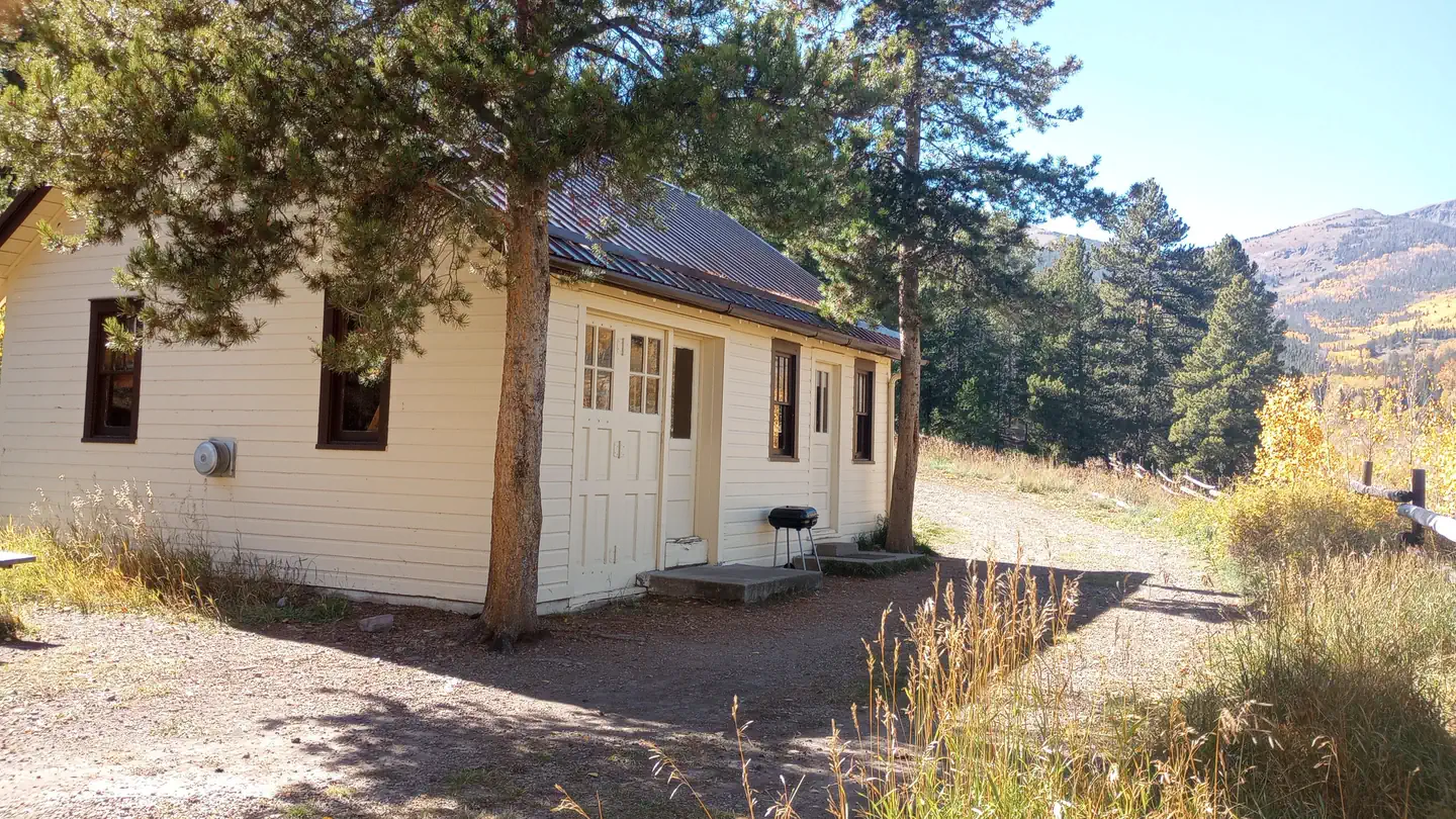
Monarch Spur RV Park
Hiking business nearby (~10 mi away) — hasn't claimed their Roamze page yet
Free — you'll pick up right here.
Watch this trail
Sign up to watch it — saving subscribes you to gate, closure and report changes.
Colorado
9.3 mi
Distance
1,685 ft
Gain
An agency closure order is in effect for this area; weather is good
2 factors · 2 sources
Newest 12 min ago · oldest 4 d
problem: Agency alerts
115 active alerts in Pike and San Isabel National Forests; most severe: Maroon Peak Climbing Access closed Sept 8
USFS4 d ago
clear: Weather
Clouds, high 71°F / low 51°F, 20% precip — 89/100 for hike
OpenWeather12 min ago
Been out here in the last few days? One report keeps this current for everyone.
Why you'll love it
Starvation Creek
AI-suggested draft · review before you go
Starvation Creek is a 4.6-mile loop trail located in Colorado near the San Juan National Forest's Columbine Ranger District (West). This moderate loop provides a scenic route through the forest landscape managed by the US Forest Service. The trail is well-suited for hikers seeking a half-day outing with manageable mileage. Its loop configuration allows hikers to return to the trailhead without backtracking. The San Juan National Forest setting offers typical high country terrain and forest environments characteristic of southwestern Colorado. Access to Starvation Creek is managed by the Columbine Ranger District, which oversees recreation and resource management in this portion of the San Juan National Forest. Visitors should check with the ranger district for current trail conditions, any seasonal closures, or specific access requirements before heading out. The trail's relatively accessible distance makes it appealing to intermediate hikers looking to explore the San Juan National Forest without committing to a full-day alpine expedition. For detailed trail information, current conditions, or directions to the trailhead, contact the Columbine Ranger District or visit the San Juan National Forest website.

Flagstaff
~12 min drive
6.8 mi · Hard

Waterdog Lakes
~22 min drive
3.2 mi · Easy
Antora Creek
~12 min drive
3.0 mi · Moderate

Colorado Trail Seg. 15 US-50 to Marshall Pass
~19 min drive
32 mi · Hard
Bushnell Lakes
~31 min drive
4.8 mi · Easy
Indian Creek Cut-Off
~12 min drive
3.4 mi · Moderate

CDT in-xx Misc Old Route Alternates
~19 min drive
63 mi · Hard
Browns Creek Falls Trail
~31 min drive
2.9 mi · Easy
Tank Seven
~15 min drive
2.9 mi · Moderate
Colorado Trail Seg. 14 Chalk Creek Trailhead to US-50
~19 min drive
40 mi · Hard
Local operatorsoffering guided trips. You book directly with them — Roamze doesn’t take a cut.
Monarch Spur RV Park
Hiking business nearby (~10 mi away) — hasn't claimed their Roamze page yet
Four Seasons RV Park
Hiking business nearby (~14 mi away) — hasn't claimed their Roamze page yet
San Luis Valley Campground
Hiking business nearby (~17 mi away) — hasn't claimed their Roamze page yet