

San Luis Valley Campground
Hiking business nearby (~18 mi away) — hasn't claimed their Roamze page yet
Free — you'll pick up right here.
Watch this trail
Sign up to watch it — saving subscribes you to gate, closure and report changes.
Colorado
10.4 mi
Distance
2,854 ft
Gain
We won't guess. Here is exactly what we do and don't know.
What we do know
Inside Rio Grande National Forest
3 managing-area boundaries mapped — agency alerts for them feed this page automatically.
Boundary data
What's missing
No access route mapped
We don't yet know which road reaches this trailhead, so we can't tell you if it's gated.
Nobody's filed a report here yet — be the first.
Why you'll love it
San Isabel
AI-suggested draft · review before you go
San Isabel is a 5.2-mile loop trail located in Colorado near the town of Colorado, managed by the Gunnison National Forest's Ouray Ranger District. The trail offers a complete loop experience, making it a practical option for hikers seeking a defined round-trip route without backtracking. This trail falls under the jurisdiction of the Grand Mesa, Uncompahgre, and Gunnison National Forests, ensuring it receives maintenance and management according to Forest Service standards. The Ouray Ranger District oversees recreation resources in this region of southwestern Colorado, known for its mountain terrain and scenic landscapes. The 5.2-mile distance makes San Isabel accessible to a range of hiking abilities, though hikers should be prepared for typical Colorado mountain conditions. The loop configuration allows visitors to experience varied terrain and scenery while returning to their starting point. For current trail conditions, specific elevation gain information, and any seasonal closures or restrictions, contact the Ouray Ranger District directly or visit the Gunnison National Forest website before planning your visit.

North Crestone
~4 min drive
12 mi · Hard

Phantom Terrace
~7 min drive
An expert singletrack out-and-back in Colorado connecting to Venable Peak and Spring Mountain, spanning 4.85 miles of technical terrain.

Humboldt
~15 min drive
2.7 mi · Easy
Comanche
~4 min drive
8.8 mi · Hard

Willow Lake
~8 min drive
9.7 mi · Moderate

Hot Springs
~19 min drive
2.4 mi · Easy
North Fork Crestone
~4 min drive
17 mi · Hard
Elaine
~7 min drive
3.4 mi · Moderate
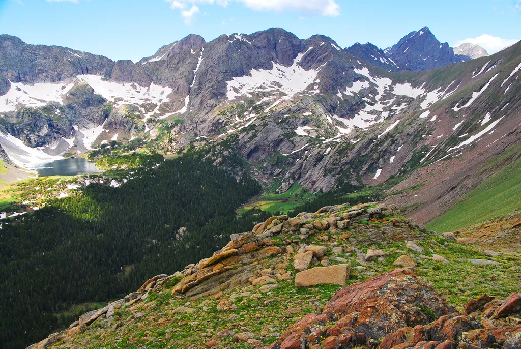
Sand Creek Basin
~20 min drive
<p>Sand Creek Basin is part of the alpine watershed of Great Sand Dunes National Preserve. A longer drive and hike is required to reach these lakes and peaks, but the mountain scenery is worth the effort. Check with a ranger for conditions before travel. Snow may block these t…
South Crestone
~8 min drive
9.0 mi · Hard
Local operatorsoffering guided trips. You book directly with them — Roamze doesn’t take a cut.
San Luis Valley Campground
Hiking business nearby (~18 mi away) — hasn't claimed their Roamze page yet
Journey Quest
Hiking business nearby (~26 mi away) — hasn't claimed their Roamze page yet
Black Bear Retreat
Hiking business nearby (~29 mi away) — hasn't claimed their Roamze page yet