
Cedar Creek RV Park and Lodging
Hiking business nearby (~24 mi away) — hasn't claimed their Roamze page yet
Pioneer Point Overlook
Free — you'll pick up right here.
Watch this trail
Sign up to watch it — saving subscribes you to gate, closure and report changes.
Colorado
We won't guess. Here is exactly what we do and don't know.
What we do know
Inside Curecanti National Recreation Area
National Park unit boundary is mapped — agency alerts for it feed this page automatically.
Boundary data
What's missing
No access route mapped
We don't yet know which road reaches this trailhead, so we can't tell you if it's gated.
Nobody's filed a report here yet — be the first.
Pioneer Point Overlook
AI-suggested draft · review before you go
No elevation data on file for this trail.
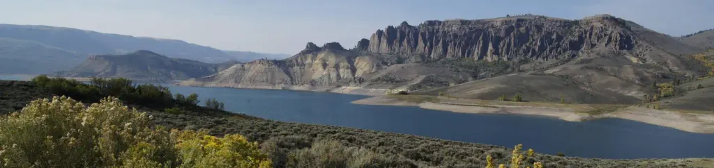
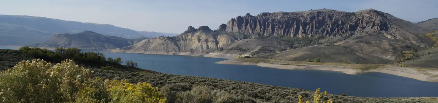
Pioneer Point offers stunning views of the upper Black Canyon and Morrow Point Reservoir. The overlooks are over 800 feet above the water level. The Curecanti Needle can be seen from here. This is also the trailhead for the Curecanti Creek Trail. Elevation: 8040 feet
East Portal
~23 min drive
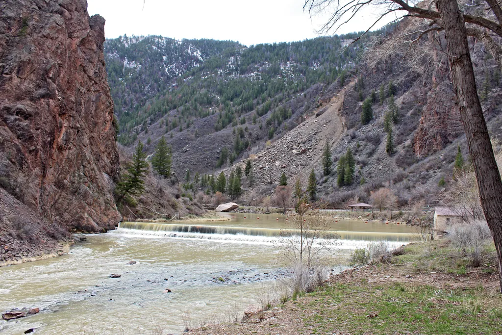
<p>East Portal is within the boundary of <a href="https://www.nps.gov/cure/index.htm">Curecanti National Recreation Area</a>, but only accessible from the <a href="https://www.nps.gov/blca/planyourvisit/southrim.htm">South Rim</a> of Black Canyon of the Gunnison National Park.…
Kneeling Camel Overlook
~28 min drive
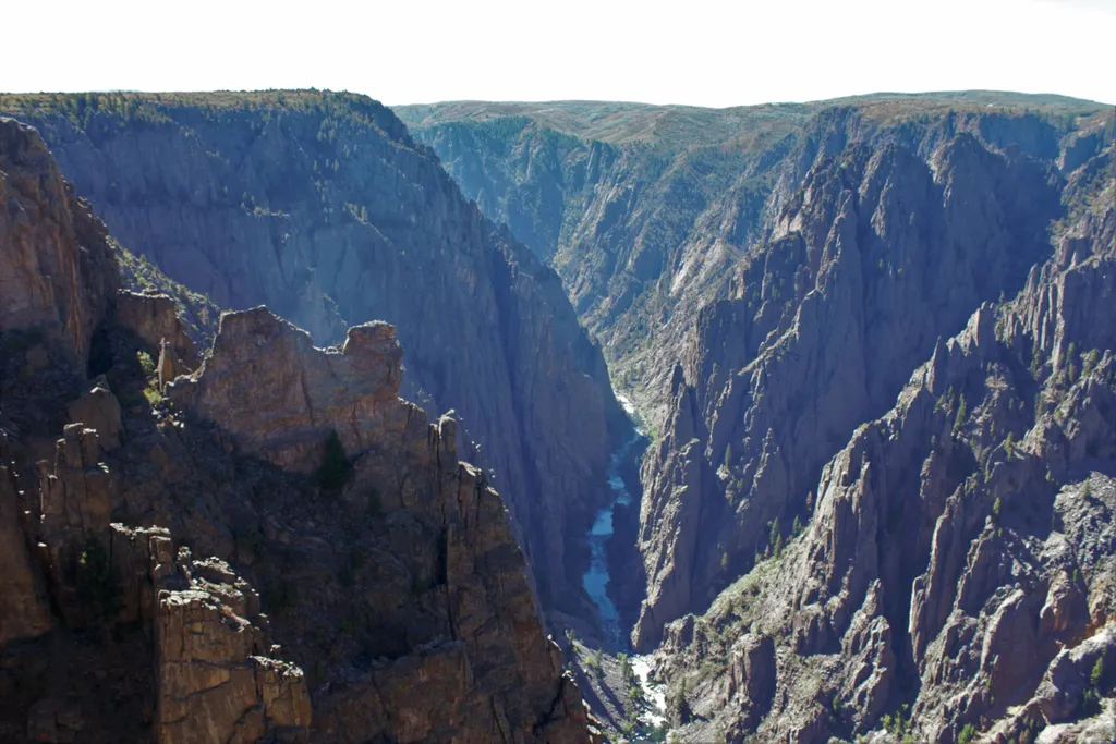
The overlook is adjacent to the parking area and very little walking is required to see the canyon. Park here to hike the Deadhorse Trail. The trailhead is just east of the parking area.

Salt House
~28 min drive
3.4 mi · Hard

Big Park
~29 min drive
5.2 mi · Moderate
Tomichi Overlook
~28 min drive
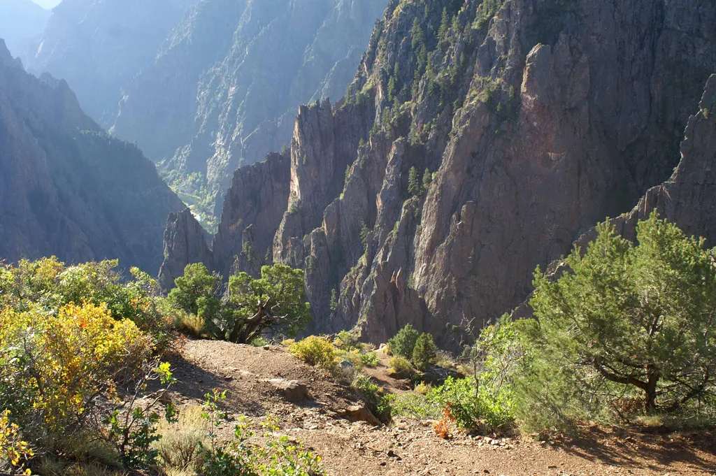
Tomichi Overlook is the first overlook on the South Rim Drive. The <a href="https://www.nps.gov/blca/planyourvisit/hikingtrails.htm">Rim Rock Trail</a> passes under the overlook, connecting the South Rim Campground to the Visitor Center.<br /> <br /> This overlook is wheelchai…
Island Peaks Overlook
~29 min drive
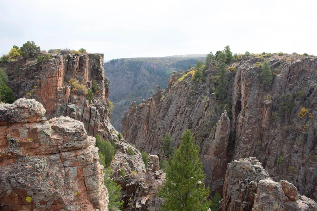
The short walk to the overlook is on an unpaved trail.

Jackson
~29 min drive
2.8 mi · Hard
South Dyer
~19 min drive
4.4 mi · Moderate
Gunnison Point Overlook
~28 min drive
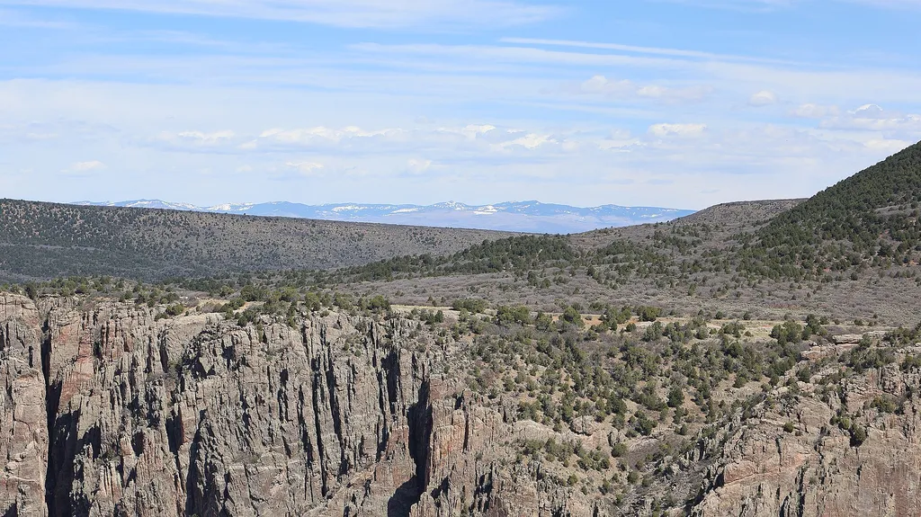
The South Rim Visitor Center is at Gunnison Point. A short walk will take you to the overlooks. From here the <a href="https://www.nps.gov/blca/planyourvisit/hikingtrails.htm">Rim Rock Trail</a> heads to the South Rim Campground, and the <a href="https://www.nps.gov/blca/plany…
Big Island Overlook
~30 min drive
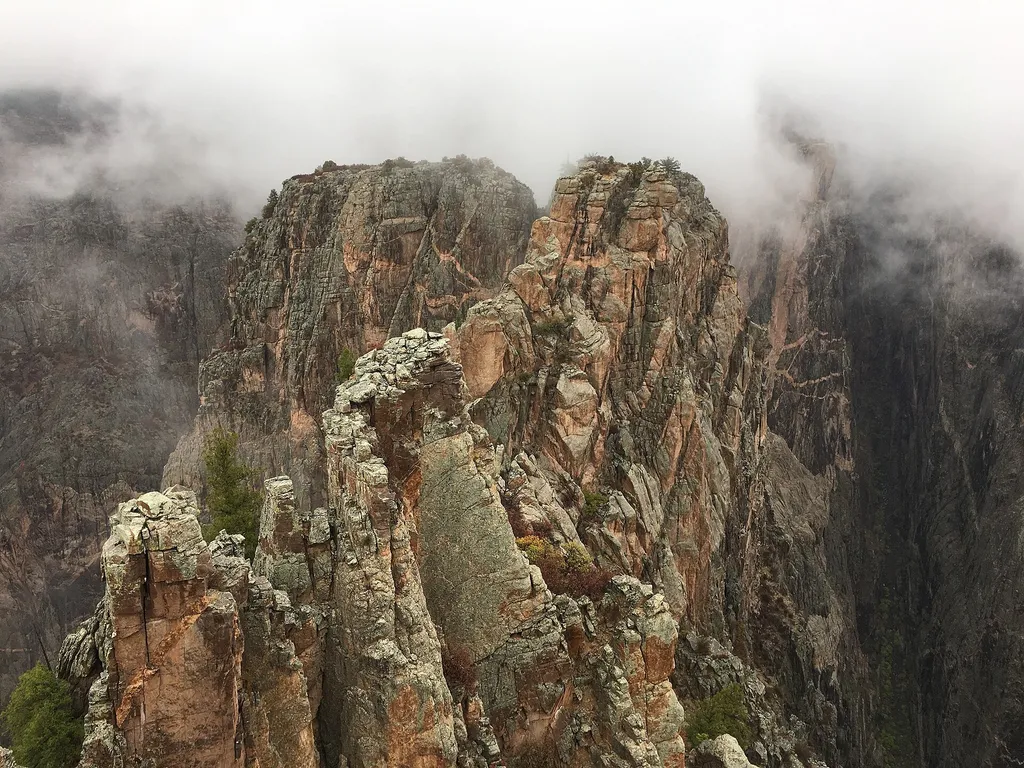
This overlook is right next to the parking area and requires very little walking to see the canyon.
Local operatorsoffering guided trips. You book directly with them — Roamze doesn’t take a cut.
Cedar Creek RV Park and Lodging
Hiking business nearby (~24 mi away) — hasn't claimed their Roamze page yet
Peak Mountain Guides
Hiking business nearby (~33 mi away) — hasn't claimed their Roamze page yet
Grizzly RT RV Park
Hiking business nearby (~38 mi away) — hasn't claimed their Roamze page yet