
Peak Mountain Guides
Hiking business nearby (~11 mi away) — hasn't claimed their Roamze page yet
Free — you'll pick up right here.
Watch this trail
Sign up to watch it — saving subscribes you to gate, closure and report changes.
Colorado
37.0 mi
Distance
1,331 ft
Gain
Weather is good
1 factor · 1 source
Observed 50 min ago
clear: Weather
Clouds, high 76°F / low 54°F, 0% precip — 97/100 for hike
OpenWeather50 min ago
Been out here in the last few days? One report keeps this current for everyone.
Why you'll love it
Owl Creek Pass Sno
AI-suggested draft · review before you go
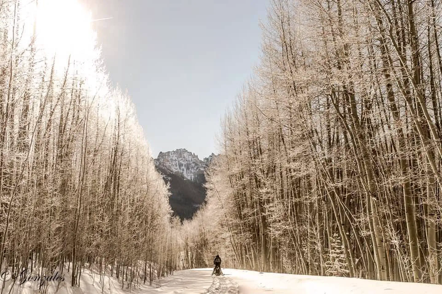
Owl Creek Pass Sno is a 36.6-mile out-and-back trail located in Colorado near the Colorado area, managed by the Routt National Forest Yampa Ranger District. This remote route traverses high country terrain and offers solitude for experienced backcountry hikers and mountaineers. The trail accesses Owl Creek Pass, a high alpine crossing with significant exposure to mountain weather. Given the distance and mountain setting, hikers should prepare for a challenging multi-day expedition. The out-and-back format means 73.2 miles of total travel for those completing the full route. Conditions vary seasonally. The "Sno" designation suggests winter snow and avalanche terrain considerations. Spring and early summer snowmelt typically makes this trail inaccessible until mid to late summer. Fall offers an alternative window before winter storms arrive. The Yampa Ranger District manages this area within Routt National Forest. Hikers should obtain current conditions from the ranger district before attempting this route, as high elevation passes are subject to rapid weather changes and potential hazards. Proper gear, experience, and preparation are essential for this backcountry destination.

West Fork Sno
~1 min drive
5.4 mi · Easy
Stealey Mountain North
~3 min drive
4.3 mi · Moderate
Courthouse
~4 min drive
11 mi · Hard
Courthouse Mountain
~3 min drive
An expert out-and-back trail in Colorado spanning 1.76 miles, connected to the Stealey Mountain Trail system.

Cow Creek
~9 min drive
12 mi · Moderate

Silver Jack Shoreline
~8 min drive
1.2 mi · Hard
Cowboy Lake
~9 min drive
1.4 mi · Easy

Difficulty Creek Trail
~12 min drive
7.7 mi · Moderate
Jackson
~9 min drive
2.8 mi · Hard
Clear Lake
~10 min drive
1.6 mi · Easy
Local operatorsoffering guided trips. You book directly with them — Roamze doesn’t take a cut.
Peak Mountain Guides
Hiking business nearby (~11 mi away) — hasn't claimed their Roamze page yet
Grizzly RT RV Park
Hiking business nearby (~19 mi away) — hasn't claimed their Roamze page yet
Cedar Creek RV Park and Lodging
Hiking business nearby (~28 mi away) — hasn't claimed their Roamze page yet