
Alpine Lodge at Red Feather Lakes
Hiking business nearby (~20 mi away) — hasn't claimed their Roamze page yet
Free — you'll pick up right here.
Watch this trail
Sign up to watch it — saving subscribes you to gate, closure and report changes.
Colorado
26.2 mi
Distance
841 ft
Gain
We won't guess. Here is exactly what we do and don't know.
What we do know
Inside Arapaho and Roosevelt National Forests
2 managing-area boundaries mapped — agency alerts for them feed this page automatically.
Boundary data
What's missing
No access route mapped
We don't yet know which road reaches this trailhead, so we can't tell you if it's gated.
Nobody's filed a report here yet — be the first.
Why you'll love it
Long Draw
AI-suggested draft · review before you go
Long Draw is a 26.2-mile out-and-back trail located in Colorado near the White River National Forest's Eagle-Holy Cross Ranger District. This extended backcountry route offers hikers a substantial day trek or backpacking opportunity through the national forest. The trail traverses terrain managed by the White River National Forest, providing access to the scenic landscapes characteristic of the Eagle-Holy Cross area. With over 26 miles of travel distance, this route is best suited for experienced hikers prepared for a full day of hiking or those planning an overnight backpacking trip. The out-and-back format means hikers will retrace their route on the return journey, allowing for flexible turnaround options based on time, fitness, and weather conditions. The trail's length and remote location within the national forest make it an ideal choice for those seeking solitude and immersion in Colorado's high country. Hikers should come prepared with adequate water, navigation tools, and supplies for an extended wilderness experience. Check with the Eagle-Holy Cross Ranger District for current trail conditions and any seasonal closures before planning your trip.

Blue Lake Trail
~0 min drive
2.2 mi · Easy
Sawmill Snow
~0 min drive
6.2 mi · Hard

Chambers Lake
~2 min drive
3.1 mi · Moderate
Medicine Bow Curve
~18 min drive
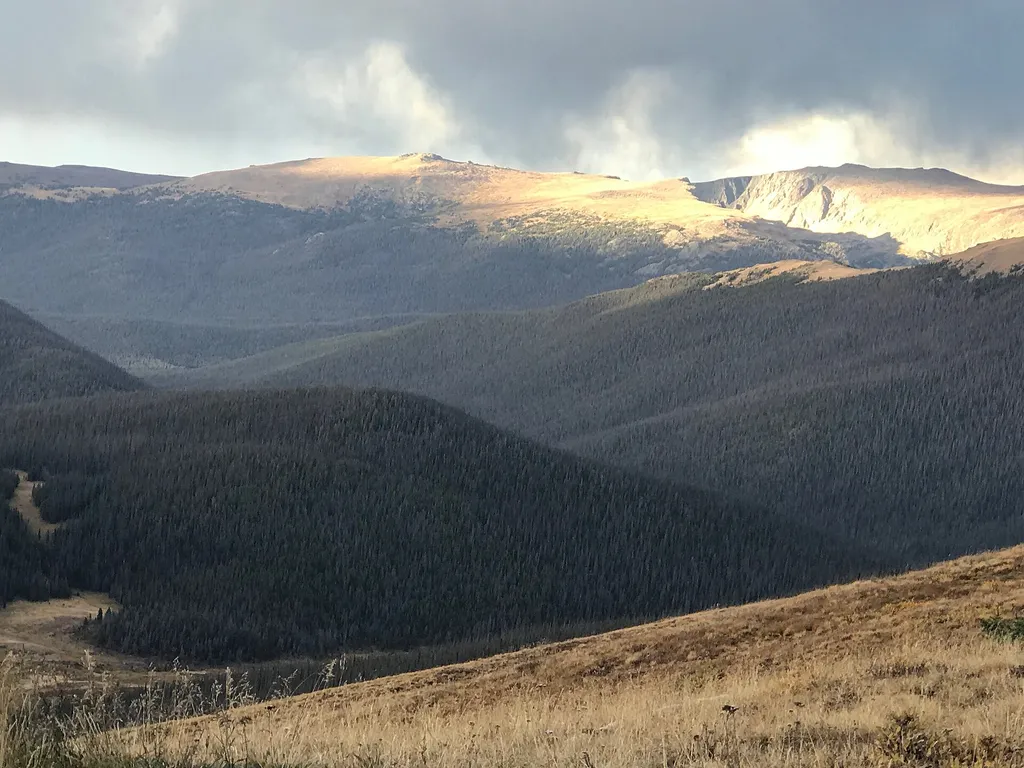
<p>Medicine Bow Curve provides a great location to view the northernmost areas of Rocky Mountain National Park.</p> <p>Looking to the horizon, visitors will see the Medicine Bow Mountains and the state of Wyoming. The Cache la Poudre river can clearly be seen flowing through t…
Joe Wright Winter
~2 min drive
1.2 mi · Easy
Meadow Snow
~2 min drive
7.9 mi · Hard

Montgomery Pass
~5 min drive
An easy 5.49-mile out-and-back trail in Colorado featuring dirt road and rocky terrain, with connections to Montgomery Pass East.
Trail Ridge Store
~19 min drive
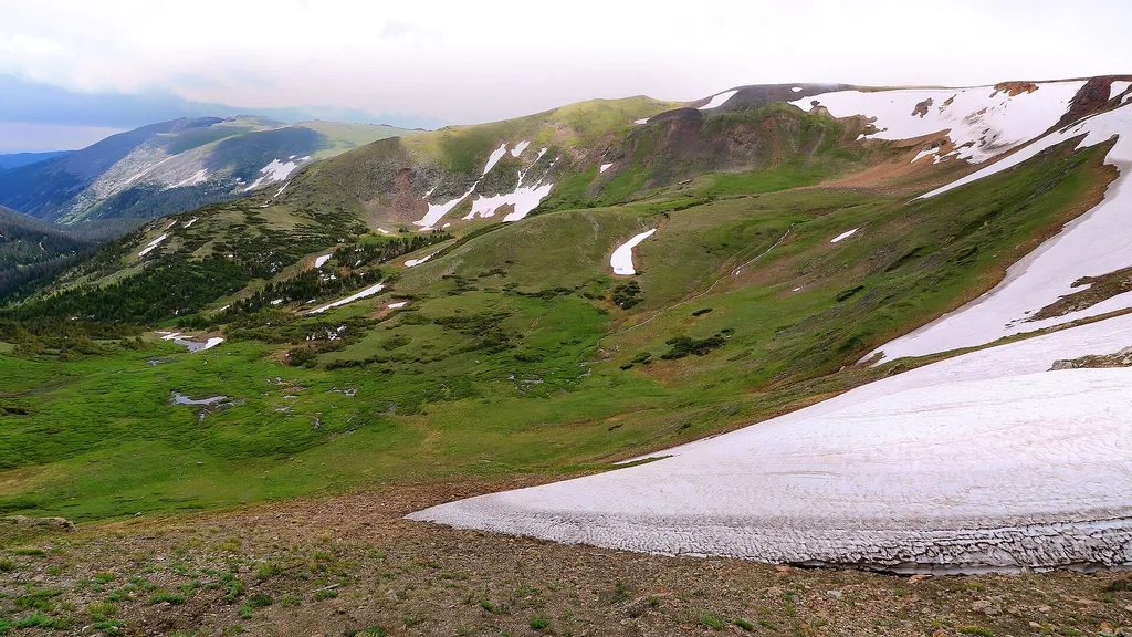
<p>At 11,796 feet, the Alpine Visitor Center is the highest visitor center in the National Park Service!</p> <p>Usually only open from May to October, it is chilly even in the heart of summer, so make sure to bring layers or even a hat. Located on Trail Ridge Road in the alpin…
Zimmerman Lake Loop
~5 min drive
2.8 mi · Easy
Blue Lake
~3 min drive
19 mi · Hard
Local operatorsoffering guided trips. You book directly with them — Roamze doesn’t take a cut.
Alpine Lodge at Red Feather Lakes
Hiking business nearby (~20 mi away) — hasn't claimed their Roamze page yet
Wildcat Mountaineering
Hiking business nearby (~39 mi away) — hasn't claimed their Roamze page yet