
Wildcat Mountaineering
Hiking business nearby (~9 mi away) — hasn't claimed their Roamze page yet
Free — you'll pick up right here.
Watch this trail
Sign up to watch it — saving subscribes you to gate, closure and report changes.
Colorado
7.2 mi
Distance
1,181 ft
Gain
Agency alerts are in effect for this area; weather is good
2 factors · 2 sources
Newest 21 h ago · oldest 6 d
caution: Agency alerts
65 active alerts in Arapaho and Roosevelt National Forests; most severe: Boulder and Clear Creek Ranger District Stage 1 Fire Restrictions
USFS6 d ago
clear: Weather
Clouds, high 75°F / low 57°F, 0% precip — 95/100 for hike
OpenWeather21 h ago
Been out here in the last few days? One report keeps this current for everyone.
Why you'll love it
Lion Gulch
AI-suggested draft · review before you go
Lion Gulch is a 7.2-mile out-and-back trail located in Colorado near the White River National Forest's Eagle-Holy Cross Ranger District. The trail offers access to the natural features of the gulch system in this region of the state. As an out-and-back route, hikers will follow the same path in both directions, making it easy to turn around at any point if conditions or energy levels warrant. The trail is managed by the White River National Forest, ensuring maintained access and resource protection. This trail is suitable for hikers looking for a moderate-distance outing in the Colorado backcountry. The 7.2-mile distance means a full round trip would total approximately 14.4 miles, making it ideal for a full day of hiking. The trail provides access to the Lion Gulch area, where hikers can explore the natural landscape characteristic of White River National Forest. The trail's out-and-back design makes it straightforward to navigate without needing to arrange shuttle transportation.

Irvin Homestead
~4 min drive
1.7 mi · Easy

Homestead Meadows
~7 min drive
11 mi · Hard

Twin Sisters Peaks
~11 min drive
3.3 mi · Moderate
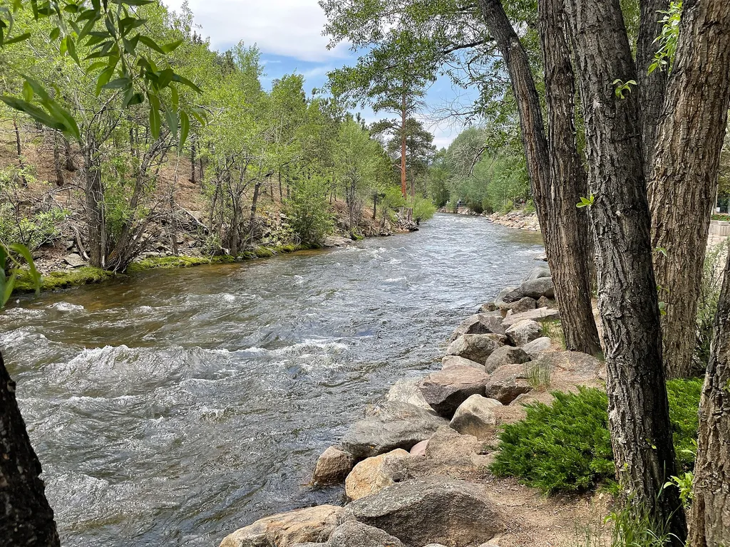
Estes Park Visitor Center
~12 min drive
<strong>From May 27 to October 10, the RMNP Hiker Shuttle provides service from the Estes Park Visitor Center to Rocky Mountain National Park's Park & Ride Transit Hub, located on Bear Lake Road. Once at Park & Ride, passengers may transfer to the Bear Lake or Moraine Park Shu…
Longs Peak
~15 min drive
Standard route to Longs Peak (14,255 ft) from Longs Peak Trailhead (Keyhole Route).

Engert Homestead
~4 min drive
1.5 mi · Easy

Longs Peak Trail
~15 min drive
A 13.66-mile out-and-back trail in Colorado that connects to the East Longs Peak Trail system.

Lily Mountain
~12 min drive
4.0 mi · Moderate
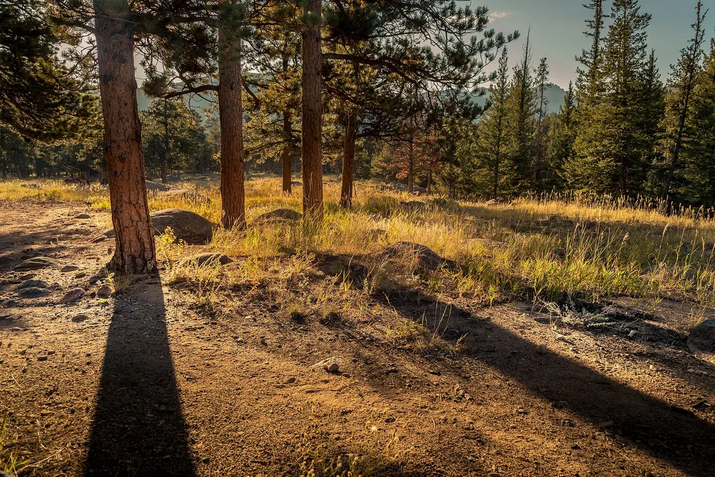
Tuxedo Park Picnic Area
~17 min drive
<p>Picnic by the river!</p> <p>Descend from the parking area to reach a quiet picnic area next to a shady stream. Feel free to sit and relax, have a good meal, or go fishing with the correct permits and knowledge of regulations. A short trail can be accessed from this location…

Button Rock Trail
~13 min drive
3.3 mi · Easy
Local operatorsoffering guided trips. You book directly with them — Roamze doesn’t take a cut.
Wildcat Mountaineering
Hiking business nearby (~9 mi away) — hasn't claimed their Roamze page yet
Alpine Lodge at Red Feather Lakes
Hiking business nearby (~35 mi away) — hasn't claimed their Roamze page yet
Camp Always Choose Adventures
Hiking business nearby (~36 mi away) — hasn't claimed their Roamze page yet