
Wildcat Mountaineering
Hiking business nearby (~23 mi away) — hasn't claimed their Roamze page yet
Free — you'll pick up right here.
Watch this trail
Sign up to watch it — saving subscribes you to gate, closure and report changes.
Colorado
8.5 mi
Distance
0 ft
Gain
We won't guess. Here is exactly what we do and don't know.
What we do know
Inside Rocky Mountain National Park
2 managing-area boundaries mapped — agency alerts for them feed this page automatically.
Boundary data
What's missing
No access route mapped
We don't yet know which road reaches this trailhead, so we can't tell you if it's gated.
Nobody's filed a report here yet — be the first.
Why you'll love it
Flat Top Mountain Trail
AI-suggested draft · review before you go
No permit or access details on file for this trail — check with the local land manager before you go.
Flat Top Mountain Trail is a 4.2-mile out-and-back hike located near Colorado in Colorado. This trail offers a straightforward route for hikers looking for a moderate day outing without significant technical challenges. The out-and-back format means hikers will retrace their steps on the return journey, making it easy to turn back at any point if needed. The relatively modest distance of 4.2 miles makes this accessible for a wide range of fitness levels, though actual difficulty will depend on terrain and elevation gain along the route. This trail is ideal for those seeking a less crowded hiking experience or looking to add a solid day hike to their Colorado adventure. The route provides an opportunity to explore the mountain landscape characteristic of the region while maintaining a manageable commitment of time and effort. Whether you're a local looking for a nearby escape or a visitor exploring Colorado's outdoor offerings, Flat Top Mountain Trail presents a straightforward hiking option that doesn't require extensive preparation or specialized equipment.

Lake Haiyaha Trail
~3 min drive
0.9 mi · Easy

Fern Lake Trail
~3 min drive
15 mi · Hard

Glacier Gorge Trail
~4 min drive
11 mi · Moderate
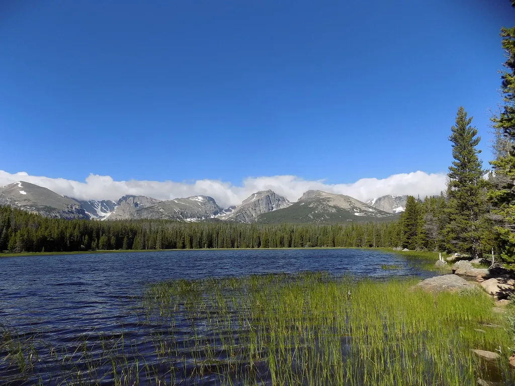
RMNP Shuttle Stop - Bierstadt Trailhead & Parking
~6 min drive
<h3>Bierstadt Lake Parking Area and Shuttle Stop are Temporarily Closed Until Further Notice for the Construction of a New Vault Toilet</h3> <br /> The Park & Ride Shuttle Stop is the closest stop to Bierstadt Trailhead on the Bear Lake Shuttle Route. Park & Ride is located 1.…
Longs Peak
~13 min drive
Standard route to Longs Peak (14,255 ft) from Longs Peak Trailhead (Keyhole Route).

Bear Lake Trail
~4 min drive
0.7 mi · Easy

Longs Peak Trail
~13 min drive
A 13.66-mile out-and-back trail in Colorado that connects to the East Longs Peak Trail system.

North Longs Peak Trail
~9 min drive
11 mi · Moderate
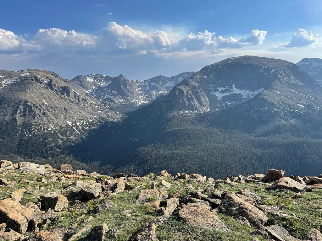
Forest Canyon Overlook
~10 min drive
<p>Get a panoramic view at 11,716 feet!</p> <p>Take a five minute walk down the paved asphalt trail to see Forest Canyon and its tributary canyons, Hayden Gorge and Gorge Lakes. Here the erosive force of glacial ice is unmistakable. A 1,500 feet thick glacier shaped a V-shaped…

Emerald Lake Trail
~4 min drive
3.1 mi · Easy
Local operatorsoffering guided trips. You book directly with them — Roamze doesn’t take a cut.
Wildcat Mountaineering
Hiking business nearby (~23 mi away) — hasn't claimed their Roamze page yet
Alpine Lodge at Red Feather Lakes
Hiking business nearby (~34 mi away) — hasn't claimed their Roamze page yet
Camp Always Choose Adventures
Hiking business nearby (~35 mi away) — hasn't claimed their Roamze page yet