
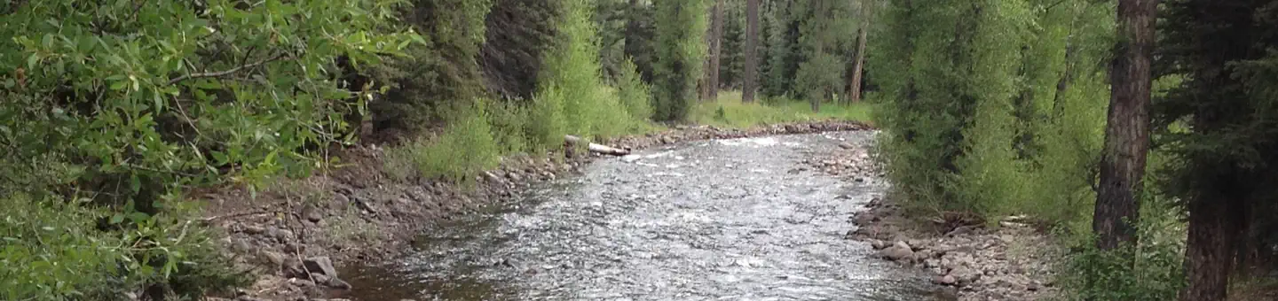
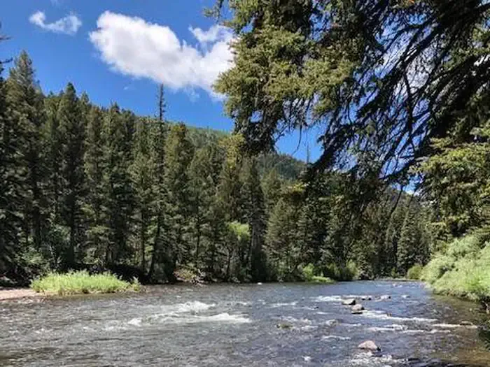
Pagosa Riverside Campground
Hiking business nearby (~29 mi away) — hasn't claimed their Roamze page yet
Free — you'll pick up right here.
Watch this trail
Sign up to watch it — saving subscribes you to gate, closure and report changes.
Colorado
3.3 mi
Distance
395 ft
Gain
We won't guess. Here is exactly what we do and don't know.
What we do know
Inside Rio Grande National Forest
3 managing-area boundaries mapped — agency alerts for them feed this page automatically.
Boundary data
What's missing
No access route mapped
We don't yet know which road reaches this trailhead, so we can't tell you if it's gated.
Nobody's filed a report here yet — be the first.
Why you'll love it
Flat
AI-suggested draft · review before you go
Flat Trail is a 1.6-mile loop located in Colorado near the Grand Valley Ranger District within Grand Mesa, Uncompahgre and Gunnison National Forest. The trail offers an accessible hiking option for those seeking a shorter outing in the area. Managed by the GMUG National Forest's Grand Valley Ranger District, this loop trail is maintained as part of the public lands recreation system. The relatively short distance makes it suitable for hikers of varying abilities who want to explore the landscape without committing to a longer trek. The trail's loop configuration allows hikers to complete a circuit without backtracking. While specific elevation gain data is unavailable, the trail's name suggests relatively gentle terrain. The area is characterized by the natural features typical of the Grand Mesa region, including piñon-juniper forests and high desert ecosystems. This trail provides a convenient option for visitors exploring the Grand Valley area who want moderate physical activity combined with scenic surroundings. Check with the Grand Valley Ranger District for current trail conditions and any seasonal closures before planning your visit.

Los Pinos
~0 min drive
7.9 mi · Hard

No Name Lake
~11 min drive
5.5 mi · Moderate
West Fork Rio Chama
~6 min drive
2.9 mi · Easy
Continental Divide Trail
~13 min drive
Moderate alpine hike along the Continental Divide with expansive ridge views.

Red Lake
~4 min drive
6.1 mi · Hard

Ruybalid
~11 min drive
5.1 mi · Moderate
Alverjones
~10 min drive
2.2 mi · Easy
Cdt - New Mexico Section
~15 min drive
A scenic Continental Divide Trail segment through New Mexico's high country.

Roaring Gulch East
~15 min drive
3.5 mi · Hard

Conejos River
~26 min drive
3.7 mi · Moderate
Local operatorsoffering guided trips. You book directly with them — Roamze doesn’t take a cut.
Pagosa Riverside Campground
Hiking business nearby (~29 mi away) — hasn't claimed their Roamze page yet
Pagosa Pines RV Park
Hiking business nearby (~32 mi away) — hasn't claimed their Roamze page yet
Wilderness Journeys Pagosa
Hiking business nearby (~33 mi away) — hasn't claimed their Roamze page yet