

Lostfork Basecamp
Hiking business nearby (~21 mi away) — hasn't claimed their Roamze page yet
Free — you'll pick up right here.
Watch this trail
Sign up to watch it — saving subscribes you to gate, closure and report changes.
Colorado
5.1 mi
Distance
1,377 ft
Gain
We won't guess. Here is exactly what we do and don't know.
What we do know
Inside White River National Forest
2 managing-area boundaries mapped — agency alerts for them feed this page automatically.
Boundary data
Access via I-70: Eisenhower Johnson Memorial Tunnel
Road status feeds from the state DOT 511 network.
State DOT 511 · 4 d ago
Nobody's filed a report here yet — be the first.
Why you'll love it
Divide Trail
AI-suggested draft · review before you go
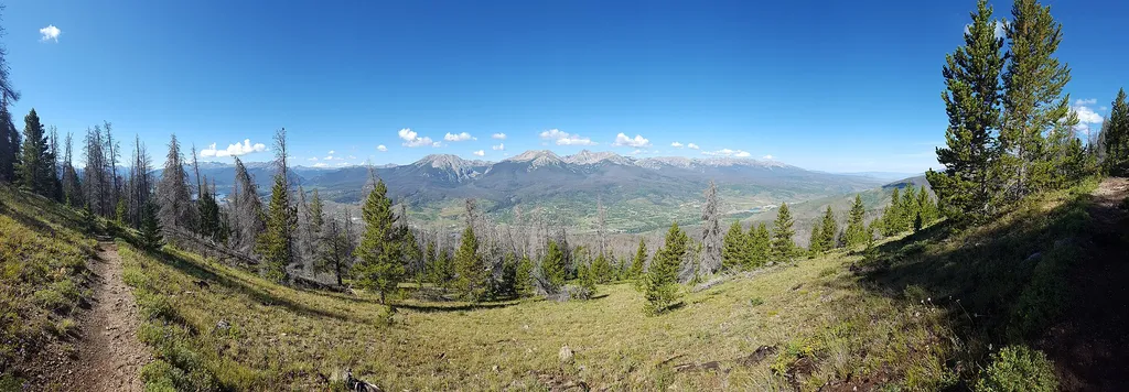
Divide Trail is a 4.8-mile out-and-back hike located near Colorado in the Pike-San Isabel National Forest, managed by the South Park Ranger District. The trail offers access to the scenic landscapes of central Colorado's high country. This out-and-back route allows hikers to explore the natural features of the South Park area at their own pace, with the flexibility to turn back at any point. The trail is maintained by the Pike-San Isabel National Forest, part of the larger public lands system in Colorado that protects diverse ecosystems and recreational opportunities. The South Park Ranger District manages numerous trails throughout the region, offering visitors access to forests, meadows, and mountain terrain. Hikers should come prepared with adequate water, sun protection, and weather-appropriate gear typical for Colorado's mountain environment. Conditions can change rapidly at elevation, so checking current trail conditions before your visit is recommended. For detailed information about trailhead access, parking, and current maintenance status, contact the Pike-San Isabel National Forest South Park Ranger District directly.

Loveland Pass
~6 min drive
2.8 mi · Easy

Laskey Gulch
~6 min drive
5.7 mi · Moderate
Ute Peak
~8 min drive
25 mi · Hard

Pass Lake
~6 min drive
0.7 mi · Easy
Ptarmigan Pass
~6 min drive
4.2 mi · Moderate

Bard Creek
~10 min drive
19 mi · Hard

Pah-Qwun
~7 min drive
2.7 mi · Easy

Straight Creek Southside
~9 min drive
3.2 mi · Moderate

Oro Grande Trail
~10 min drive
7.6 mi · Hard

Tenderfoot Mtn
~8 min drive
3.0 mi · Easy
Local operatorsoffering guided trips. You book directly with them — Roamze doesn’t take a cut.
Lostfork Basecamp
Hiking business nearby (~21 mi away) — hasn't claimed their Roamze page yet
Camp Always Choose Adventures
Hiking business nearby (~21 mi away) — hasn't claimed their Roamze page yet
Rancho Del Rio
Hiking business nearby (~39 mi away) — hasn't claimed their Roamze page yet