Loading trail…

Free — you'll pick up right here.
Watch this trail
Sign up to watch it — saving subscribes you to gate, closure and report changes.
California
4,678 ft
Gain
We won't guess. Here is exactly what we do and don't know.
What we do know
Inside Yosemite National Park
National Park unit boundary is mapped — agency alerts for it feed this page automatically.
Boundary data
What's missing
No access route mapped
We don't yet know which road reaches this trailhead, so we can't tell you if it's gated.
Nobody's filed a report here yet — be the first.
Why you'll love it
Valley Shuttle Stop 11: Four Mile Trailhead
AI-suggested draft · review before you go
No permit or access details on file for this trail — check with the local land manager before you go.
<p>This shuttle stop is served by the <strong>Valleywide Shuttle </strong>route only. There is no covered shelter or benches at this shuttle stop.<br /> <br /> <strong>Yosemite Valley shuttles are free and operate from 7 am to 10 pm daily. </strong>During hours of operation, the Valleywide Shuttle runs approximately every 22-32 minutes. No ticket is required. Passengers may board and disembark at any stop.</p> <h2>What's Nearby</h2> <ul> <li>Four Mile Trail trailhead</li> <li>Sentinel Beach picnic area</li> <li>Valley Loop Trail</li> </ul> <h2>Shuttle Tips & Accessibility</h2> <ul> <li>Pets are not allowed on shuttles.</li> <li>Allow wheelchairs to board first.</li> <li>Collapse strollers before boarding.</li> <li>No oversized or jogging strollers.</li> <li>Remove baby-back carriers when seated.</li> <li>Shuttles only stop at designated stops.</li> <li>No smoking on shuttles.</li> </ul> <p>All shuttles are accessible with wheelchair lifts and tie-downs. The maximum size for wheelchairs on shuttles is 24 inches wide x 46 inches long. Shuttle drivers will help passengers on and off shuttles or notify them of stops. If you need assistance, ask the driver.</p>
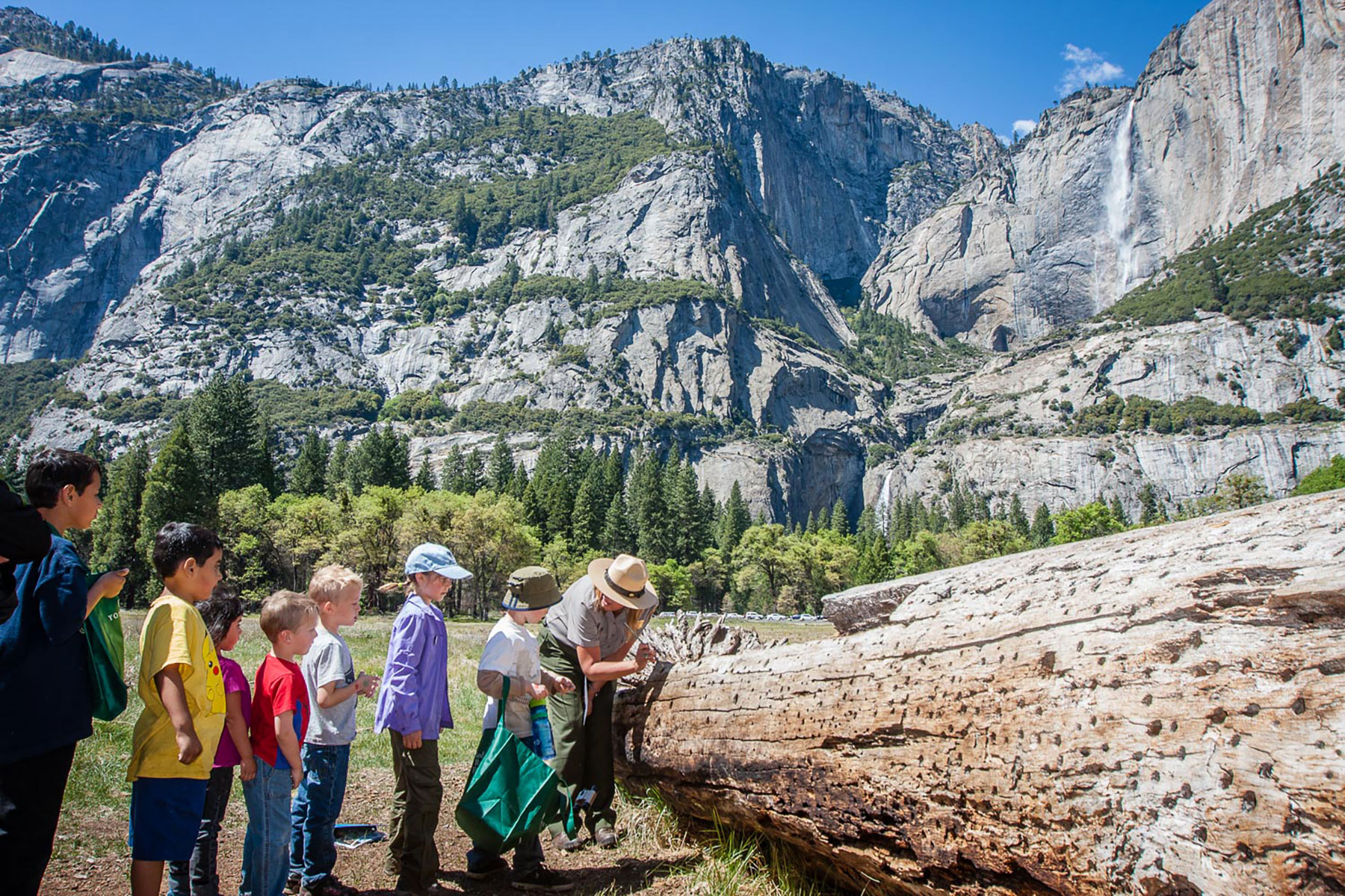
Cook's Meadow Loop Trailhead
~2 min drive
<p>This short, easy walk offers stunning views of Yosemite Falls, Half Dome, and Sentinel Rock as well as a vibrant example of the rich biodiversity in Yosemite's meadows. From Yosemite Village, walk west along the bicycle path toward Lower Yosemite Fall or take the Valleywide…
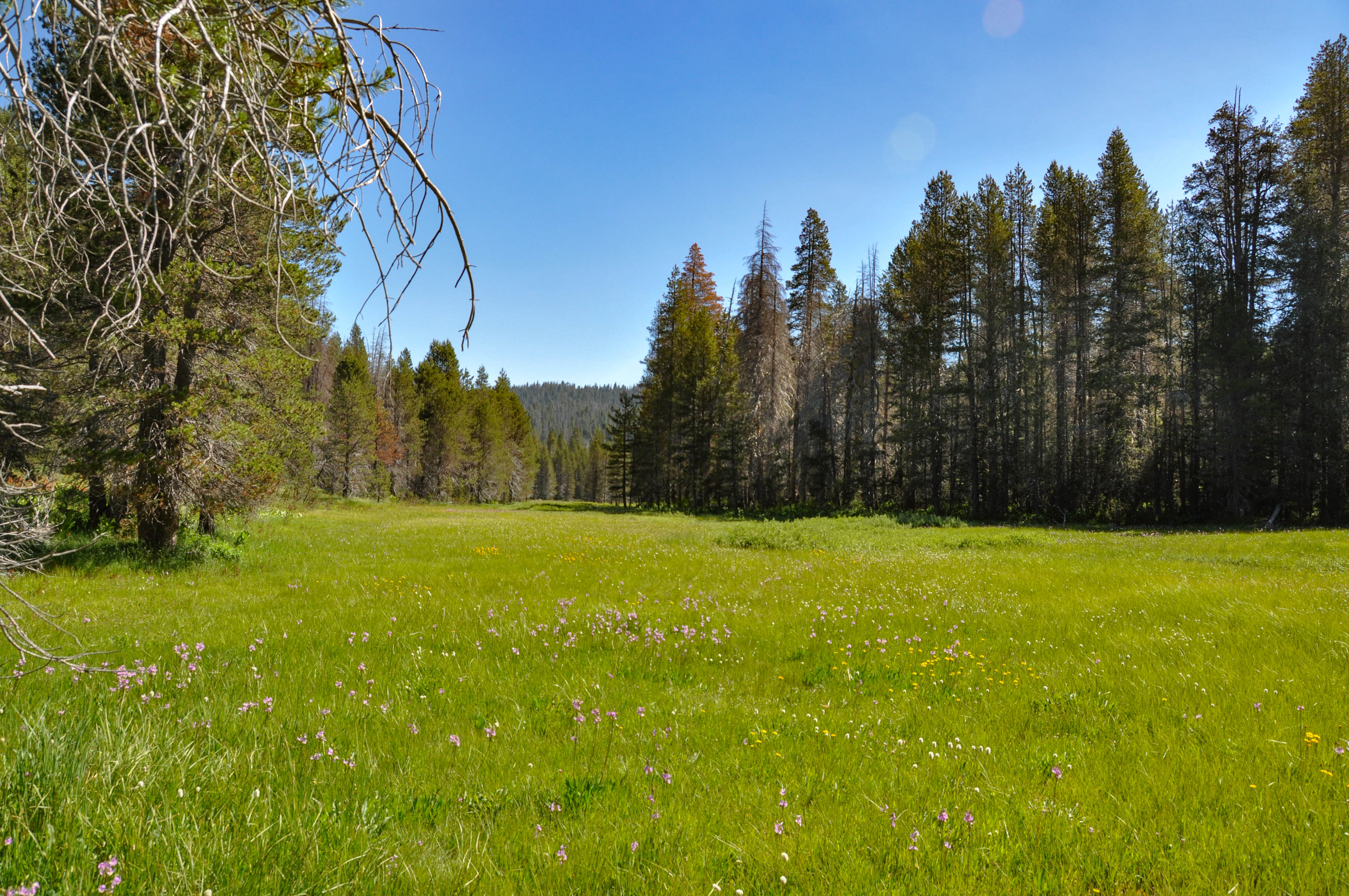
McGurk Meadow Trailhead
~8 min drive
<h2>McGurk Meadow</h2> <p>The trail leads downhill to McGurk Meadow and the site of an old cabin that belonged to sheepherder John McGurk. During early summer, look for a tremendous show of wildflowers.</p> <p><strong>Distance: </strong>1.6 miles (2.5 km) round-trip<br /> <str…
Rush Creek
~21 min drive
Moderate 6.5-mile alpine creek trail with 1,094 ft elevation gain.
Savage
~27 min drive
Moderate 5.2-mile trail with 795 ft gain near Savage, California.
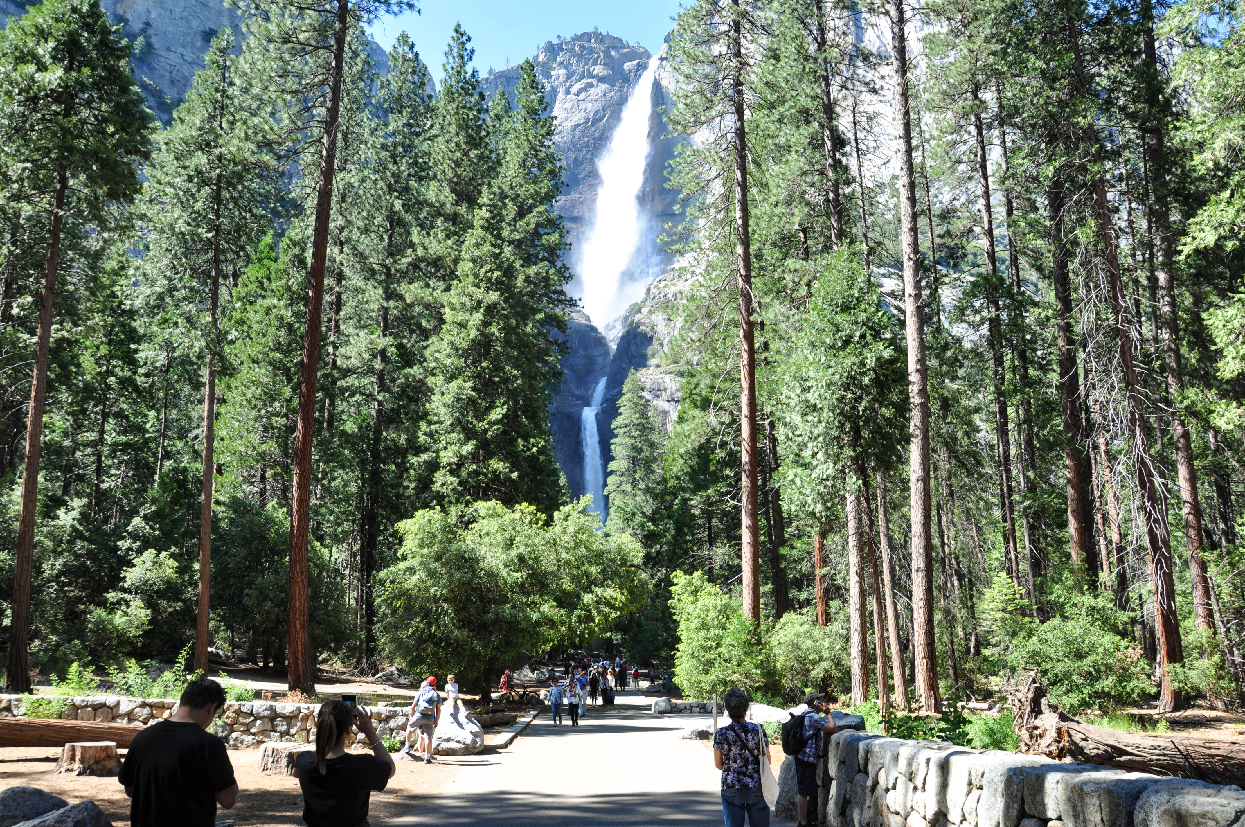
Lower Yosemite Fall Trailhead
~2 min drive
<p>This short, easy walk rewards visitors with spectacular views of both Upper and Lower Yosemite Falls. This paved loop trail offers different vantage points of Yosemite Falls and Yosemite Creek. Numerous exhibits along the trail discuss the natural and cultural history of th…
Trail 322150010602
~22 min drive
Quick 1-mile trail with steady elevation gain in California.
Pinoch Ridge
~24 min drive
Challenging 11.8-mile ridge traverse with 3,658 ft elevation gain.
Dutchman Lake
~28 min drive
Moderate 5.88-mile alpine hike to scenic Dutchman Lake with 1,253 ft elevation gain.
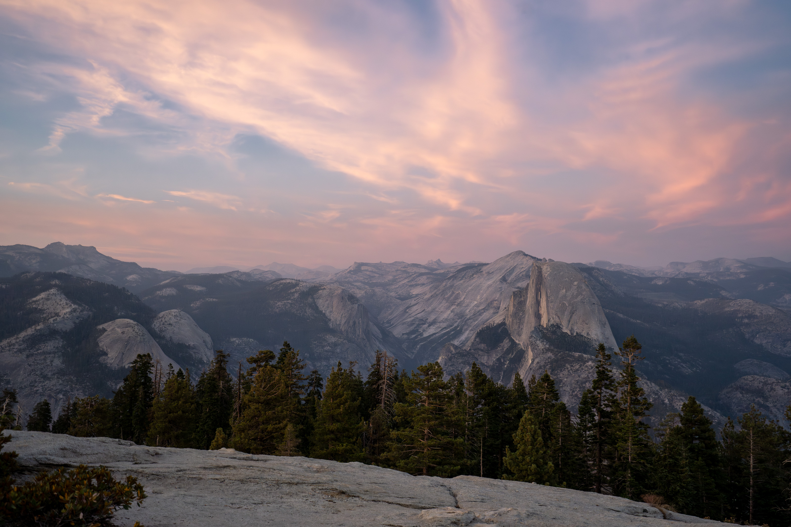
Sentinel Dome and Taft Point Trailhead
~3 min drive
<h2>Sentinel Dome</h2> <p>This wide trail leads mostly across open granite with little shade. Scramble up Sentinel Dome's granite slope to enjoy 360-degree views of Yosemite Valley and the high Sierra. Consider taking this hike at sunset or during a full moon, but remember to…
Ned's Gulch
~25 min drive
Short, steady climb through a scenic California gulch with accessible terrain.