Loading trail…

Free — you'll pick up right here.
Watch this trail
Sign up to watch it — saving subscribes you to gate, closure and report changes.
California
5.0 mi
Distance
448 ft
Gain
We won't guess. Here is exactly what we do and don't know.
What we do know
Inside Klamath National Forest
3 managing-area boundaries mapped — agency alerts for them feed this page automatically.
Boundary data
What's missing
No access route mapped
We don't yet know which road reaches this trailhead, so we can't tell you if it's gated.
Nobody's filed a report here yet — be the first.
Why you'll love it
Valley Loop
AI-suggested draft · review before you go
No permit or access details on file for this trail — check with the local land manager before you go.
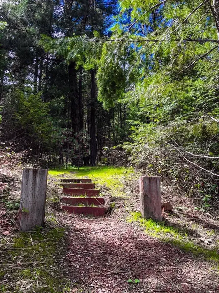
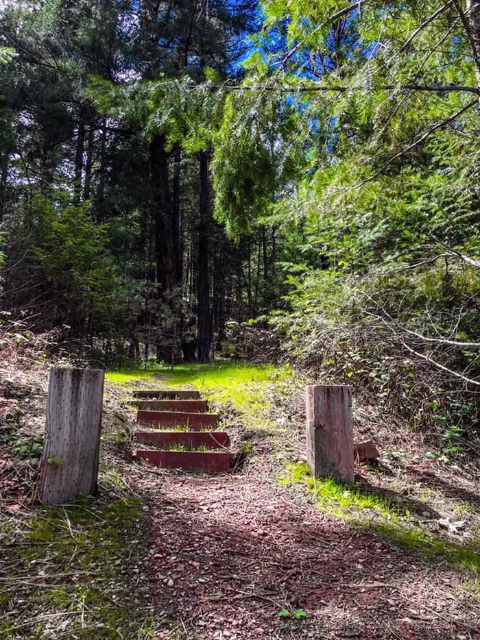
Valley Loop is a scenic 4.96-mile circuit that offers an accessible introduction to California's diverse terrain. This easy trail features gentle elevation gain of 448 feet, making it ideal for families and casual hikers looking for a pleasant half-day outing. The loop format provides variety throughout the hike while returning you to your starting point.
Tri-Forest
~0 min drive
13.64-mile forest loop with significant elevation gain and varied ecosystems.
Yellow Rose
~0 min drive
Steady 4.24-mile climb with 2,025 ft gain in California's Yellow Rose area.
Union Lake
~5 min drive
Easy 1.8-mile alpine lake hike with 375 ft elevation gain.
Packers Peak
~7 min drive
Steep 10.92-mile alpine climb with 4,663 ft gain to high Sierra peaks.
Dorleska Mine
~2 min drive
Historic mining trail with moderate terrain and cultural heritage interest.
Caribou
~8 min drive
Steep alpine climb with 2,555 ft gain over 2.8 miles near Caribou.
Union Creek
~8 min drive
Challenging 14.77-mile backcountry hike with 3,188 ft elevation gain.
Rose
~3 min drive
Moderate 3.6-mile climb with 1,687 ft elevation gain.
Rush Creek
~11 min drive
Short, scenic creek-side hike with steady elevation gain in the Eastern Sierra.
Landers Lake
~8 min drive
Moderate 8.39-mile alpine lake hike with 1,563 ft elevation gain.